|
While riding, I attempted to take video when I could. I have compiled all of this into a summary of our ride, so that you can follow the route with us and see some of what we saw. Enjoy, and best of wishes to all. I would like to make a version with facts and information about the pipeline, and will post that here if I do. Thank you!
0 Comments
We awoke in our tent on the edge of the water, to a misty windy morning. I could see the mists through the screen of the tent as I lay, grey and wet blowing off the surface of the lake. I had woken up briefly just after 6am to call my father, who had been on the road through the night to reach Montana by that morning. We knew that, due to driving conditions and a late start, it was likely that he would not be able to reach the campsite by early morning as had been the original plan. This was initially stressful for a number of reasons, the evening before, as I called home to try to figure out when he would arrive and the rather unprepared state my father had left in. He had been intending to leave in the earlier afternoon the day before -- though still planning to drive through the night, a plan that I found stressful to say the least -- but had been delayed at work. Thus, he was not able to leave Minneapolis until around 9PM. To reach where we were, some 60 miles west of Glasgow, it is anywhere between an 11 and 14 hour drive according to google. In addition to being a grueling drive for him, this also put him meeting up with us somewhat later in the morning than we had hoped. We usually leave very early, and I had been looking forward to shedding our gear and the freedom of biking without any weight. This meant that we either starting early with all our gear, or we waited til later in the morning for whenever he might arrive (an additional problem was that, my dad having the same phone service as I, could not be reached by phone and so it was uncertain how far away he might be). Furthermore, Laurel must have been hoping to be done earlier in the day to try to finalize her transportation back to Seattle. This made me feel all the more stressed that we could not begin riding early.
Now, here I must be honest: I was also very frustrated. A trend, I suppose you may have noted! This is because, to me, if my dad arrived early that morning or later in the morning, either was more than fine by me. I would just be relieved if he arrived safely, and to see him again. Although I had thought, in speaking with him in the days and week before, that he would arrive early and all would go as planned, I was mostly just grateful that he was willing to go through all the strife and driving and hard work of coming out to meet us all the way from Minneapolis. My dad is an amazing man, who has many times in my life gone above and beyond to help and support me. He is among the hardest workers you will ever meet. He is also under an immense amount of stress these past years, due to family and finances and all sorts of other troubles. In addition to his stress, he has never been especially good at planning or listening to others when they suggest he plan better. This was no different. Being nervous to take work off on Monday, he had worked all day and then still taken off that evening to drive through the night. Therefore, inconvenient as it may be not to start biking earlier in the day, that was nothing compared to the effort he was making. I should have stood up more sturdily and emphasized this to Laurel, who I sensed was not excited to wait until he would arrive. Whether it was because she was apprehensive to get on her own way homewards or merely to make the last distance early in the day, I do not know. But I felt some sort of tension in the air when we figured my dad might arrive around 11am. Even now as I think on this, arriving at 11am after driving all through the night is ridiculously good time and really incredible. Why could we not enjoy our last day of riding -- a mere 53 miles -- and relax that morning until my dad could join us? Why must we hurry onwards? Why must we hurry at all? I guess that Laurel had been thinking of trying to catch a plane or bus or train (some combination) as early as that evening, but this was such unrealistic and inconsiderate thinking, I felt. I said to her that it would not be wise to reserve any form of homeward ticket for Tuesday, and that Wednesday would be the soonest reasonable and manageable option. There was no way I was going to try to rush the last stretch to the border so pointlessly, and more than that there was no way I was going to add that amount of stress and burden to my dad, to try to get us to wherever depot or station she hoped to reach. If I haven't explained earlier, Laurel had considered either coming back to Minneapolis with me (where she will be moving for graduate school very soon) or heading back to Seattle (where she just finished her masters, and where her family would be coming to meet her in a weeks time). For quite awhile I thought she had settled on taking Amtrak from Glasgow MT to Seattle. But in the last few days before the end, she told me she might come back to Minneapolis, or might even try some sort of flight from the nearest airport. I told her I would do my best to get her wherever she needed -- whether that be an airport or station in Montana, or whether that meant coming back with us. But there would be no way to do so on the very same day we would finish. It would just be too unwise, if anything should delay us, and far too needlessly stressful. So, after trying to explain this (I become very nervous to say such things and often feel too meek to speak up), Laurel did her best to finalize and strategize for Wednesday: a flight out of Billings combined with a bus from Glendive to Billings. She said this combination was her first preference, so that is what I said we would try to accomplish. Next came negotiating for that morning, and this is what we discussed the evening before. I was not brave enough to insist that we wait for my dad, sensing her anxiousness. I should have been firm, and not wavered. But I was unsure of her thoughts, and so not knowing if she was displeased or what she was thinking either way, I conceded that perhaps if the waiting became too long we should try to get biking by about 9am. We could leave our gear at the campsite -- risky, if someone should wish to take it, but everyone who had come and gone to the wide and spacious campground seemed good and it was unlikely anyone would stumble upon it in any case -- and begin biking without the weight. My dad could then retrieve it from the campground on his way to meet up with us. An added worry for us was that rain was forecasted for Tuesday afternoon, and we would prefer to beat it. As we were laying down to sleep, I told her as much: that we could get going by 9am if it looked as though it would be any later. This still seemed to be "late" to her, though from my perspective if we got started anytime by noon that was just as well. Starting early may be nice, but 53 miles we can cover in under 5 hours. Thus, even had we started at noon, we would arrive at the border well before sundown. What I wish is that I had insisted upon waiting at the campground for the morning. That would allow me to keep checking in with my dad, to make sure he found us, to alleviate some of his rush to reach us, and to allow us to enjoy the morning. Even if we were hit by rain for waiting, it was the last day and we have gotten wet before. So, now that I have explained the backstory of it all, I can return to where I left off: we woke up at the campsite, after falling asleep to a beautiful sunset, with boats far out on the water, and pelicans, and seagulls coasting above. In the night, the wind had picked up briefly, but calmed later. But morning it had picked up somewhat, and carried the mist with it in wisps off the lake. After stirring around 6am, I napped again after calling my dad. The air was cool, and the waves so near to us, lulling and lapping in the wind. I had listened to them through the night, and felt grateful to rest in such a place. Laurel got up and went over to the picnic table sometime shortly thereafter to eat something. I did not intend to get up, even if she did, as I wished to savor the cool morning and the lapping waves and the fresh air knowing there was no rush. After a little while, she returned to the tent. The wind was cold, she informed me. I closed my eyes a bit longer, though I had not fallen into sleep again that morning since initially waking -- rather, I lay in calm thoughts, attempting to enjoy the peace while deep down worrying greatly for my dad as he drove. Surely he must be tired, I knew. I had emphasized to him that I would far rather have him arrive very late, instead of pushing onwards if he felt too tired. Just before 8am I got up. By then the mists had receded, and though the air was cool it was not cold to me. It felt pleasant to put on my light jacket (which had thus far served instead as a sleeping pad). I ate some breakfast and tried once more to reach my dad. No luck. He must be out of range, I knew, as I have not had any phone service myself since Kansas. I tried instead to reach my aunt and mom back in Minnesota to try to figure out where he might be. After strategizing a bit more, we took off our gear and packs and placed them at the picnic tables (hoping my dad would be able to spot them). 9AM arrived and reluctantly I got on my bike. Our goal was to take what we knew would be 15 miles of gravel road called Milk River Rd. This follows the twisting turns of the Milk River out to highway 191, which would take us to the Canadian border at Morgan MT. I was also not so excited about this gravel road. But looking at the map, it did seem the most direct route. It helped us to cut more directly at an angle going northwest, as opposed to having to go south and then west to reach Malta, before turning back northwards on 191. So I conceded to it, knowing this, and hoping that without our gear we could cover it without major problem. (Also, I knew that it followed the Milk River, and hoped that at the very least this would make for even more scenic backcountry). We have had to take a number of stretches of gravel thus far, though not usually by choice, and have managed them. They slow us down, but they can certainly be done. In my opinion, however, they are not worth taking (unless of course you have the right tires for them) unless they truly cut down the distance by a decent amount. Otherwise, because of how much they slow us down and how much work they are, it ends up being far more efficient to add a few miles out of the way via paved surfaces. We made our way up the gravel driveway to the main gravel road. It was somewhat manageable at first, though from the start I already had growing reservations. It was very loose and washboard in areas. Even light as we were now -- as feathers without our gear!!! -- I was thrown easily about by the loose gravel and proceeded slowly. It would be a long 15 miles, I thought. It would likely take even longer, I considered now as we moved gradually along, then it would have to just go further to Malta on the paved roads. After a few miles, I continued thinking of my dad and wondering how close he was getting. When would he arrive and was he doing ok? I stopped and asked Laurel if I could call him on her phone. To my surprise, I reached him, and he was in Montana perhaps an hour away. We continued further, but not very far from there I glanced at my back tire and realized with complete despair that it was shorn bald! The tread had been shredded, and in long strips along the surface it appeared to have been shorn as if run over knives. It was not ripped open, and was holding air, but I was so dismayed. It had not been that way, to my knowledge, the night before. I would have noticed it. The best I could guess is that sometime since starting that morning I had gone over something. We had crossed over a cattle grate, and perhaps this is what did it in. It had, of course, covered just under 2,000 miles at this point so it may also have just given out on the gravel and finally revealed its wear and tear. We got off the bikes and started walking for a stretch, hoping the gravel would become more compacted. Even walking it was bumpy, and I stewed. I knew that it would not work, and I knew that it had been a foolish attempt (even if some of our reasoning I felt had been good). I cursed under my breath hitting another deep sandy loose patch. Laurel turned back to me, and I think my thoughts were clear on my face. I confessed: this road would not work, at least not for me. We might have to reconsider. Luckily, she seemed to understand my distress. The combination of the looseness of the gravel along with the at least 11 or 12 miles yet to go, as well as the new trouble of my back tire being ready to fall apart made it pretty clear that it did not make sense to continue on that road. I thought about my dad, and how close he was to arriving. By the time we walked our bikes back towards the campground, I guessed, he would likely be arriving. I suggested that what we may be able to do is ride with my dad to Malta, and then take the paved road from there. Although it meant that we would have to take a ride, it would not shorten the distance to the border. We would still cover 53 miles, just be starting from a different spot. At this point, it seemed the most rational thing to do. We continued walking back towards the campground, a few miles. Laurel's phone rang then and it was my dad! He had just reached the Nelson Resevoir and had picked up our stuff and was wondering how he should proceed. I asked him if he wouldn't mind coming a bit further down the gravel road and finding us. Not long afterwards, a silver van rumbled over the hill. He found us walking down the road. I was so happy and relieved to see him. As it turns out, he might have actually been able to make the crazy drive and arrive early in the morning, had it not been for all of the very nasty conditions he had encountered. He had gone through 200 miles of fog, and a lightning storm before that, and a rain storm with some 50 mph winds and hail before that! And all while driving through the night! And then there had been construction near Williston, out in the ND oil fields. Goodness my dad is amazing to have covered such a distance and still to have arrived at the campground about 10:30AM! I was so happy to see him. We loaded up the bikes into the van, and he drove us to Malta where we would start (and where I hoped he would rest and take a nap while we rode!). I was so concerned about my balded back tire, and knew it was likely to give out along the way. But I figured I would get as far as I could before it blew, or gave in. It was about 11AM by this point. Inwardly, I was frustrated as I noted the time. Had I spoken up firmly, and had Laurel been less insistent upon starting early, we might have simply waited calmly at the campground for my dad to arrive. But what was done was done. We started north on 191 out of Malta. The road was narrow, and very calm with little to no traffic. It ran along in the valley of the Milk River for quite a few miles, with beautiful little grass-covered hills of all shape, and large stones freckled like resting sheep across the golden-pale green. During this stretch there were also deer flies chasing after us, and I could see their shadows hovering along next to mine on the road. They sure like to bite my flanks! I've got close to 50 bites accumulated just there. But the road itself was beautiful, and we moved swifter now without any gear. It is so easy to bike without gear! Do not take it for granted! After perhaps 15 miles, I spied a looooong climb before us, coming out of the valley. We climbed slow and steady up, and goodness I must say we have grown strong with all our hills. Though it was long indeed and a steep grade, it hardly troubled us except to slow us down. Otherwise, it was not much of a strain beyond a slight nuisance. Coming up to the top, we were again up high, although before us the land rolled out in grassy hills with the horizon stretching endlessly, and you might not have guessed it was high up unless you happened elsewhere to come to the drop-off of a valley. We stayed up among these hills to the small town of Loring. My dad, shortly after we had surmounted the long climb and reached a turn off for another road, had come found us. Pausing for a drink, I had looked behind me and seen a silver van moving slowly along. Ah, my dad, I guessed! He pulled up beside us and said he hadn't been able to fall asleep, so he might as well stay awake! Mind you he had already stayed up all night and it was now perhaps 2 o clock. We told him it was about 14 miles to the town of Loring, and hopefully there would be something there, but we would meet him there regardless. Now the road was again smooth among spreading wheat fields and some hills. Although a few clouds had spread behind us, they had not reached us and above it was still mostly blue sky and sun. Off in the distance, towards the west and sometimes up ahead, there were faraway white puffs of cloud just above the horizon line. These looked to me like the prancing lines of white buffalos, running along, painted on the blue of the sky. It seemed we had truly lucked out – the thunderstorms predicted for that day and the day before had never materialized and we had good weather for the end. Coming down a slight hill, we could see Loring below. There were only a handful of buildings, among them a small white steepeled church, as little boats in a sea of grass and hill and sky. I could see the silver van pulled into the small post office. Otherwise, there did not seem to be any place even to fill up our water bottles. Having started in somewhat of a hurry from Malta, we had not even had much of a chance to fill up all our water containers. I had been a bit apprehensive of this, leaving Malta, but knew that as my dad was with us today, we would have support in case of trouble. But now, having no more than a sip left in our water bottles, we were thirsty. We pulled up to the post office, where my dad was waving to us outside. He told us that there was someone in the post office that we should meet, so we parked the bikes and came inside. There was a middle age woman behind the counter, the postmaster Jeanie Green. My dad, having arrived at Loring long before us and waiting, had gone inside to ask about local crops (where he confirmed his observations that they were growing peas in some of the fields. This intrigued him greatly, and as is his habit he had collected a few pods on his drive from Malta). The postmaster Jeanie was bubbly and gregarious. She spoke quickly and happily, and told us that it must have been meant to be, because the reason she was so excited is that perhaps a year ago a woman named Rebeca had stayed with her for two nights – this woman had taken 6 months to walk the entirety of the Keystone pipeline, at 20 miles a day. She had finished in November, just as it was getting cold, and had pulled a small cart with her which she could use as shelter in extreme weather, and which was far more comfortable than wearing a pack. This woman, who coincidentally was from University of Washington where Laurel just finished her masters, was walking the pipeline to talk with people and to see the land, just as I had done on bike. I could understand the postmaster's excitement that, out of the blue, we would appear on bikes doing the same journey. And even more serendipitous, she had been close to heading home before my dad arrived, and so if he had not been joining us for the last day we would have missed her. She asked to take a picture with us, and we exchanged contact information. She showed us the picture of her, her cat Ming, and the young woman Rebecca, which she said she had also coincidentally had with her that day. She also told us that she farmed some, and that she currently had one hundred something chicks to take care of. Loring is just 14 or so miles from the border crossing to Canada, and apparently chicks can only be taken across the border if they are under three days old. So these chicks had been too old, from what I gathered, and Jeanie had taken care of them. She also let us fill up our water bottles at the sink in the post office, so that was very fortunate as well. I am hoping that Jeanie will put Rebecca and I into contact. Rebecca, she said, is planning to use what she learned and observed from her long walk as her thesis, and potentially create a documentary. I am sure she was able to gather far more detailed stories and observations that I was able to, spending 6 months. In fact, I feel like what she did was so amazing. I would have much preferred to take a slower pace for our ride. But of course, there are many things to do in life. She waved to us as we left. Now we were in the home stretch. I could hardly believe it as we rode. How had we come all this way? It seemed surreal. The day before, in fact, even though I had still been weighed down my gear when we neared the campsite it had been as though all the weight was lifted from my bike – I even looked back to see if my panniers had fallen off, but they had still been there. This had been the relief of knowing we neared our goal. Now, truly riding without gear, we were gliding, and riding without the knowledge of hundreds of miles ahead, I was lighter still. The land seemed to be helping us along, or so I imagined, for we came to a long sweeping downhill. This flew us through a number of miles of beautiful landscape. About 5 miles from the border, I asked Laurel to stop so we could eat some of the snacks I still had in my backpack. This is because we hadn't actually eaten anything since 7:30AM that morning, and now it was past 4PM. Even I, with my alarmingly slow metabolism, was feeling very hungry and felt that there was no sense at all in making the last moments uncomfortable. Luckily, I had stowed away two clif bars, so I gave one to Laurel who I knew was likely very hungry. Then we got going again for the countdown to the end. The horizon for most of our journey has been far, and so it still was. We could see far ahead, but could not see much for buildings or a town or what might be the border crossing. With only a few miles left, we could see what seemed to be a small box. This must be it, we guessed. Perhaps it was run based on the honor system, we joked, it being such a small and remote crossing. With one mile left, we could see the Canadian border crossing office on one side and the United States office on the other. We were there! We passed through the “To Canada” road, and stopped behind my dad. The border patrol officer walked up to us from the office (the Canadian one was hard to decipher, in fact, and was not much more than a temporary trailer as it was under construction). He was friendly, and asked to see our passports. When he asked what we planned to do in Canada and how long we intended to be there, we said only a couple hours and just to get a bite to it at most. We told him we had ridden there. And so there it was, the end of a four week journey and almost precisely 2,000 miles. We had covered the entirety of the U.S. portion of the Keystone XL pipeline, in 29 days of biking (1 day faster than my original goal of 30 – although I would rather we had taken the full 30!). As you can see from the photo at the border, we were both very happy, though subdued. I think we were certainly ready to be done, or at least for a break. As you may know, I had originally intended to bike all the way to Hardisty. This is still another 390 miles or so from the Canadian border, through Saskatchewan and over to Alberta. However, only a day into biking Laurel and I had agreed that this would take us more than 30 days, and she had to be done before then. So we had decided to make our goal be the border (for now). If I am able to, I would like to return to Morgan MT and finish the Canadian section of the pipeline solo. After crossing the border, we asked the border patrol what the nearest town was and if there was anything to eat there. The nearest town called Val Marie was about 34 km away (km now that it was Canada!) or 22 miles, and that there were a few places there to eat. We loaded up the bikes – my dad asked us if we wanted to bike there. No, Laurel and I agreed with a laugh, I think we would take the ride this time. Immediately crossing into Saskatchewan the road deteriorated and narrowed. It seemed to be a trail only, paved but roughly and with gravel patches, through a vast wheatland with pockets of wetland and far spread out abandoned farmsteads. I found it to be gorgeous, and after a few miles found it to look subtly different from the grasslands we had covered. Laurel said it didn't seem any different, but I think that there are subtle transformations in any landscape that take time and distance to reveal themselves. I found myself, suddenly, wishing that there was more adventure left. Yes, these narrow rough roads as small trails through the land, these seemed perfect indeed for an adventure. Calling for it, and calling to me. So I do hope to return. I could cover the distance in just under a week, and so I await the chance to do so. Let's hope that I can maintain all the strength and muscle I have worked hard for over all these miles. We in fact climbed 3,000 ft from Houston to the Canadian border, meaning that for a month we have more or less been biking uphill. The land has strengthened me over 2,000 miles, though it felt often like a struggle. I am grateful for the strength it has given me, and though I doubt I can maintain the muscles for long, I will enjoy the speed and confidence I have for the time! From Val Marie, we turned homewards towards the U.S. Border again. This time we passed through the U.S. Border patrol, who informed us when we mentioned the sorry state of the road that Canadian roads are mostly like that. Huh! My dad also chose this moment to ask if the peas he had collected were edible, and to eat one just as the border patrol was raising an eyebrow and saying he wouldn't try it. My dad is often eating grains and crops to test their readiness and quality. We were headed to Glendive, but when we got there every last motel and hotel was packed with oil service workers and the parking lots packed with their trucks. I should've known. We had to continue on to the small town of Beach to find any place at all. In the morning, I drove Laurel back to Glendive to catch her bus, and then my dad and I made the homeward drive to Minneapolis. What a journey it had been. You would hardly know, looking at me, and it is almost easy to feel that nothing has passed at all (until I look down and see the stark tan line on my legs or the slowly fading welts on my backside). I am grateful to all the many friendly people who spoke to us, and those who treated us with help and kindness. The world is good, and the the earth is gracious. I hope in some way to compile what I may, writing and photos and some videos, so look for that in the future. Until then, my best wishes and my deepest gratitude to all. We decided not to set the alarm til about 8am, but both were awake about our normal time around 6am. I relaxed and let myself try to sleep a bit more until just after 7. We did not get going till after 8 am, and pedaled down the way to mcdonalds for breakfast. From here we had about 30 miles until the next town. The ride was not hard, but not easy. And the last 10 miles of that section I could feel my legs just on the edge of quitting. It was forecasted to rain and although the first part of morning had been sunny, since then grey clouds had moved in and the light was dimmer. It also made the air cool. Pulling into the small town of Harinsdale(?), it was sprinkling lightly. Here we stopped for something to drink and eat, both agreeing we felt somewhat sluggish. An older gentleman sat down beside us and talked to us briefly. Locals who came into the small shop greeting each other and us and asked us if the Mosquitos -- which they said were terrible in these parts around the Milk River -- had carried us off. Oh yes. From here it was another 14 or so miles to the small but slightly larger town of Seco(?). This section of the ride was smooth, and seemed to slip past us. It rained again as we rode, but had relented by the time we reached town. There we stopped at the grocery store and had something to eat. It was another 12 miles or so to our goal of the Nelson recreation area on the resevoir. This went smoothly enough as well, and the skies brightened. We are following the valley of the milk river. Reaching the turnoff for the resevoir and camping areas, there was a historical marker next to two boulders. One was known as Sleeping Buffalo, sacred to the Cree, and once sat up on a hillside, and appeared to be the shape of a buffalo. At night it was sometimes said to bellow or shift position. The milk river apparently follows the old course of the Missouri River, back before about 15,000 years ago when glacier ice changed its path to the current one. At this point, both Laurel and I had to admit that her back tire was indeed losing air again. And quite a bit. It was only about 2 miles to the campground, and we only made it partly down the road before it was definitely flat. It chose an ok time to give in, because it was only about a mile walk to the campground. It is her only tube left, however, so we are counting on my family bringing one more in the morning as they join us for our last day. The recreation area is amidst the many grassy hills, along the resevoir, and very open but very lovely. It is wide with generous space and there are only a few RVs here and there, tucked away. No showers, but drop toilets which is good. The skies have cleared and weather is sunny even though storms were forecasted for the afternoon. We are hoping they don't come in the night. Tomorrow we should reach the border. It is hard to believe, but we will both be excited and grateful to be finished. Today was a long day! By far our longest, both in terms of time and distance. Waking up in the small dusty town of Circle MT, we got our bikes ready. However, as luck would have it, literally just as Laurel pushed her bike through the door, she noticed in frustration that her back tire had gone completely flat. So back in we went. Laurel was quite frustrated by this, but there was nothing to be done. She said that yesterday she had thought perhaps it was losing air, but it must have been a very slow small leak to have deflated overnight. She took off the tire and removed the tube. We couldn't see any debris or clear puncture. She took out a new tube to put on, only then realizing that her only remaining spare tube was the wrong size. Her bike tires are a rarer size, 26" x 1.4. It is the second number, the width, that causes trouble. Her spade tube was too thin. She was definitely upset by this. I was nervous, both for the fact that she was upset and not knowing how I should help, and also that if we could not patch the leak we would be stuck for a bit. But I was also rather calm, because these are simply the sorts of things that happen. We've had good luck and bad luck, and with bikes you just never know what your fortune will be with tires. It is frustrating, of course, but that's just how it goes. I hurried into the bathroom and filled the sink. This way we could perhaps locate the leak. After submerging the tube, we were both relieved to spot some tiny air bubbles coming from the seam. At least we had located it. Laurel cleaned in up and patched it, and searched the tire itself over and over for debris or something sharp. Nothing. That can be quite frustrating too. Because you can never be certain then of what caused it, or if you have removed the problem. From there we walked or bikes next door to the gas station. Laurels main frustration, I think, was the delay that this repair had caused. Usually we leave by around 7am, but now we would likely not be on the road til 8am. But so it is, and I knew it couldn't be helped. She was also nervous that there was wind forecasted, and now we might not beat it. At the gas station-- the only thing nearby-- we got cinnamon rolls and snacks, and I got some hot chocolate while Laurel got coffee. We sat like bums on the curb as we ate, undoubtedly looking silly. Shortly after starting to eat, a man in work clothes in perhaps his late thirties walked up to go into the gas station. I could tell from a distance that he was going to talk to us-- many people see our bikes and dirty clothes and guess on sight that we are traveling long distance and are thus curious (especially as we are two young women, I suppose). He was very animated and smiley, and hopped around near us-- switching between kneeling with us and standing. He talked at length, almost as a child might, about some of the long biking he had done some time ago and how all the land you could see around us was his family's ranch land and their 1000 cattle and how they were very behind on branding the calves, who were now not so small and more difficult to handle. Eventually he asked us which way we were headed. When we told him towards Fort Peck and the route we were planning, he suggested instead that we take the route via highway 13 to Wolf Point and then over, noting that it was nearly the same distance and a more scenic ride as it crossed the Missouri River and there was an old bridge over it and cottonwoods at the river, mentioning we might camp there too if we wanted. We both pondered this briefly, and perhaps with too little hesitation and thought, agreed that this seemed a better route. He waved from his dusty truck as he got on his way, and then we were going. This man had also mentioned that highway 13 was a nicer road, with better surface. Though not smooth tar, as far as compressed gravel and Montana roads it was very smooth. We both agreed he had been right -- a good road. There were green mile markers along the way that had started in Circle, so for among the first times I could track exactly what our mileage was. Just before mile ten, the same dusty brown pickup passed us, and I noted that the driver waved. Ah, it must be the same man. At mile ten, ahead in a driveway, he had pulled in and was waiting to wave. As we approached a wave happily, and he told us we had already come ten miles! I think we were making good pace, and was impressed. I told him yup, the wind isn't too bad today, and he repeated in agreement it's a good road. So we were lucky to run into him. From Circle to Wolf Point is 52 miles and in between there is only a small town with a church and an ag coop so no place to get a drink or sit down. The road, though smooth, is up and down with a number of climbs, and this does indeed wear me out. I know that for me I must divide up distances, and cannot go more than 30 miles without a stop. However, Laurel seems to be the sort of biker that, if there is no gas station or restaurant, stops only for a few minutes to take a drink while holding up the bike. If it were me, regardless of whether there is a gas station or not, I would prefer to sit down and drink some water and rest a bit longer. But immediately we were on our way again. The wind was minimal, though slightly against us, and the sun was growing hotter than we have had in the past days. During the remaining section Laurel was always far, far ahead of me and I kept trying to push onwards. At one point, I could see her shape far at the top of a hill, and what seemed to be two other bikes. I was puzzled. Sure enough, when I surmounted the hill Laurel was speaking to two perhaps 30 something year old men on aerodynamic bikes, with their gear light and strategic. They were doing the Seattle to Boston route and had come through Wolf Point and were headed to Glendive. From here, the road descends into the Missouri River and crosses on a highway bridge next to a large, old style bridge. Suddenly, as the road flattened and when onwards and onwards, and the wind picked up and the sun was scalding, with about 3 miles left before Wolf Point I "hit the wall" I knew was coming. I felt immediately tired and knew that I should have been more adamant about breaking up the mileage. I walked for a while, Laurel far gone and already in town. I felt miserable. These repeated days of such high mileage are not at all for me, and there is nothing at all for me to look forward to. Finally staggering in to town and finding Laurel, I noted on a sign that the temperature had risen to 96 degrees. The only nearby option, Laurel deemed, was a Chinese food restaurant next to us. We went in but I had no interest in food at all. I ordered something small simply for formalities sake and asked for water. I was quite fried at this point, and no doubt the waiter thought we were sorry souls (at least me). I poked at my food and slowly at it, head down and not speaking. I told Laurel eventually that I knew I would not make the rest of the distance -- still more than 40 miles! As it turns out, the route that we had taken was not exactly the same distance -- it bumped us up to about 98 miles! So I would nearly have to repeat all the distance I had covered. I knew I wouldn't make it. Laurel offered, to my surprise, that we could stay here. I think I must have looked very run down indeed for her to agree so quickly. But I asked what this would do to us for tomorrow. I knew we did need to make it farther in order for Laurel to be able to finish in the time she hoped. She said tomorrow maybe we could just do 50 miles to Glasgow, and that she may have to end there and catch the train. I felt so downtrodden. I did not want Laurel to have to miss out on reaching the border now that we were so close. I knew I could go about 20 miles further, but likely that was the limit. Peculiar as it may sound, I know my body very well. More so now after years of track and field and now so much biking. You come to know signs of fatigue, and what works and doesn't work. For example, I know that for my body going 52 miles like I had that morning wipes me out unless it is broken up into smaller sections. This is similar to me for track and field, where I am able to do quite well running sets, even at high speeds, but to do so all at once I would not be able to accomplish the same amount. I recover rather quickly between sets, but only if given the quality chance to recover, which I had not done that morning. However, Laurel found that from Wolf Point to Frazer would be 19 miles (1 mile less than 20, I noted with hope!). So we tried to strategize. Tired though I was, I wanted us to be able to go farther. A friend of ours was by chance planning to drive through Montana that day towards Glacier, and this have us some hope that potentially, if I couldn't go any further, perhaps they could come find us. Then, from Frazer to Nashua it was another 16 miles. This made it so that we could take it in steps and assess at each point. Of note is that before entering Wolf Point, we had also entered the Fort Peck reservation (within which Wolf Point is located). This seems to be a very large reservation indeed. The road out of Wolf Point was very busy with traffic. The shoulder alternated between being generous and being narrow. The sun was very hot at this point as well. Laurel took the lead as usual, and I think that she went at a cautious pace for me which was helpful. I road behind and felt as though I were balanced on a wire. After sitting at the restaurant, I was feeling better than before, and proceeded carefully. We had some good luck as well that the wind had somehow died down, and that the road was more or less flat and even sloping downwards sometimes. A patch of cloud even moved to block the most intense sun. I was very focused, and only let myself think of reaching Frazer. But in the back of my mind, I began to gain confidence. Yes, perhaps I can reach Nashua, I would think. And then tell myself to focus on one step at a time. Don't get ahead of yourself. I was feeling alright when we reached Frazer, though we had both been banking on some sort of gas station if we were going to make it much further. As I suspected from far off, there was very little in the small town of Frazer. We crossed the railroad tracks, and besides some homes and the water tower all there appeared to be was a bar, without windows and a small closed door. I was not too concerned as I had prepared for this, saving a sports drink from Wolf Point. Laurel opted still to go check out the bar, because they might have something or at least water. Inside it was dark, but there was a bartender, a tall, large and relatively young native man, who for his size was very soft spoken. Laurel asked if we might just have some cups of water, and he got us two cups filled with ice and water. He asked us about our ride and we exchanged stories. Apparently he had lived for a little while at the Red Lake reservation in Minnesota, but was glad to be back here where he is from. He also said that he hitchhiked something like from Dallas back up to Montana. It took him about a week, and seemed a very difficult process. It can be unpredictable whether you will get a ride, and sometimes it gets dark. In the mountains, for example. He said that a couple times he had laid down on the side of the road when that happened. He also said that hitchhiking ruined a lot of white shirts! Laurel filled up her water bottle with ice, and we thanked him. We were the only ones in the bar, but just as we were headed out the door an older man was coming in, with shoulder length black hair and sun worn wrinkles, and some missing teeth but a kind face. He asked us if those were our bikes outside and about our ride and wished us luck. From Frazer to Nashua, the roads were good enough and the wind calm. The sun was glistening and shadows growing long as it got on into the late afternoon. It was perhaps 5:00. I felt surprisingly good. I told Laurel I knew I shouldn't even be thinking about it, but I had seen the road sign for Glasgow and it was 28 miles away. I shouldn't even consider trying to reach it. But, then again! Maybe we could make it? It was already so late in the day, but Laurel pointed out that it does stay light out till about 9pm. We could make it before dark. I thought more on it and the more we rode, the more it made sense to make it there. The weather was good, and somehow I was still moving. We pedaled almost as a race to Nashua. It felt like a horse race, at least! The shoulder was wide enough most of the time to ride side by side, and we both talked happily and perhaps somewhat crazily. Reaching Nashua, I could tell I was tired, but not done for. There was a small cafe here, which thankfully was open. However, as I realized before even entering, these were the "lake people" the motel lady had spoken of back in Circle. Meaning, the rich or vacationing folk, who come to visit Lake Fort Peck. Oh yes, I could tell the instant we walked in that we were being judged (and in fact, this is among the first times that I felt judged negatively. Perhaps I was being overly sensitive, but I sensed condescension. Of course we did look dirty and tired, but regardless!) It was also very busy. And so it took a while for the overtaxed waitress to take any orders. All I had been hoping for was a gas station, where I could get a lot to drink, so although it was better than nothing, I felt overwhelmed. But oh well, I got a bit of lemonade. When we got back on our bikes, the light was long. It was well past 6:00. The road climbed in a long curve up from the valley where Nashua sits near the lake. Behind us, there was a great view of the valley. The shoulder was narrow, though. We both felt tired, but we felt confident we could do it. After this climb, it was mostly level with some rolling uphills. The clouds in the waning sun and across the wheat fields and grassy hills were certainly a beautiful sight. Just before 8:00, we made it to the edge f Glasgow. Just before then we spied a road sign that said Canada with an arrow. Canada, by a different road than ours, is only about 40 miles away from Nashua. We stopped into the first hotel we saw, but it was very clearly out of our humble price range. But the receptionist gave us the numbers of some others so we could call instead of bike out of the way. Laurel reached La Casa Motel and it was much more affordable to us, and it is a good thing we called because we got the last room. We said we'd be there in about 5 minutes as we were on bikes. The owner was a large bearded man, with a very friendly voice. He was very nice to talk with! And offered us some Hershey's kisses from a bowl at the desk. When we told him we had covered 102 miles that day, he was very surprised and impressed. He asked if the Mosquitos had been getting us on the ride. Oh yes, I replied, they had been getting me! And deer flies too! I am covered in bites. But only me, and not so much Laurel. Insects of all sorts flock to me, alarmingly so. You may not believe it, but travel with me awhile and you too will observe how terribly I get eaten up, even when others haven't seen a single mosquito or fly. The owner apologized that the only room left was upstairs. That's ok! We were just glad for a place to stay. After taking off our gear we got everything up to the room. Very nice and spacious indeed! Very comforting looking, and comfortable too. My first goal was a shower, which you can really never be grateful enough for! I didn't even bother eating much for dinner. I finally had service and could call home for the first time since Kansas. We fell asleep rather late, near 11:00, after all was said and done and prepared for tomorrow. But we were planning to sleep in til about 7 or 8 . And who would've thought, when I was so out for the count, that we would go 50 miles more for our highest distance so far: 102. Day 25: Circle MT We began our morning in Wiboux.. The start of the ride out of the town was on gravel roads, seemingly our only options to get on the right track to reach Glendive and up to Circle (by bike at least!). This started out as Hodges Rd, passing the Wiboux high school and out of the town itself. Once outside of the few and far in between towns, the land as it has been throughout this part of the country is open, with few homes or buildings of any sort. There was farm field and ranch land, and far to the south side of the road, a train track. When a train passed in the distance, it looked to me like a miniature against the backdrop of hillscape and grassy outcrops. The wind was very calm, whichever way it was from. Gravel is rather slow going for us both -- slow for me on the uphills and slow for Laurel on the downhills. Actually, this has been something I have observed on any road. I am very slow climbing up, but love to fly down (though always keeping the speed manageable) and use the momentum to carry me up the next slope or as far as it will take me. Laurel is very strong and efficient climbing up, but goes quite slowly down and under careful control. So it was on our gravel roads for the morning. Mostly we moved fine over them, except for when large rocks had been laid which turned our tires every which way. From Hodges Rd we turned north onto Yates, which took us at last to the paved frontage road of I-94, called 106. This was a lovely down sloping road, plenty of pleasant hills down that pushed you up the smaller subsequent ups. I sped happily along. The frontage road was far separated from the interstate, sometimes by miles or by hill walls. 106 itself is a quiet narrow road through scenic Montana back country. Grassland and rock outcrops and buttes and tabletops and layered rocky hills all around, and stunning. The only problem with this road is that we knew it would end at some point. Looking at google earth images, Laurel had determined that the road 106 would turn into 322, then would slowly turn to grass after perhaps 20 some miles from where we had first started outside if Wibaux, and then cease altogether at what appeared to be a creek. Then, about half a mile further up, and on the opposite side of the interstate, it would begin anew as frontage rd 300 which went into Glendive again along the interstate. Google did not suggest this route, but instead a hodgepodge of gravel roads. We decided nevertheless to try our luck with the paved frontage roads, despite the mystery of their disconnect and what we may contend with for that half mile. Grass? Fences? A creek? If nothing else, there appeared on map images to be a bridge of some sort for the interstate, so it was our hope that we might be able to go underneath to the other side. After gliding happily along, I began to look out for signs of the end of the road. Sure enough, before me I saw that the paved road became increasingly grassy and overgrown, and the further we continued turned into gravel and grass and more vegetation until it was nothing at all and brought us to a barbed wire fence, leading down to a small stream with cattle hoof prints imprinted in the old mud. We had seen from a distance that there was also a truck and trailer parked here, and hoped maybe it was the landowner or rancher, who could help us somehow cross to the other side of the interstate or tell us about the road. There was no one there. So, Laurel undid the wire gate, and we went into the cattle pasture. There were now cows here yet, but many deer flies that swarmed us. We peered down towards the stream and under the bridge. There was dry ground and cow path leading under the bridge beside the small stream. We walked with our bikes under the tunnel of the bridge, and emerging towards the otherwise was a cow and her calf no doubt perplexed to see us. We were now on the other side of the interstate, but still had to go some half mile west through shrubby and grassy pasture to reach what we hoped would be some form of frontage road, gravel or paved we would take whatever we might! We followed the narrow cow paths farther out into the endless pasture. There were more cows and their calves, staring at us down the way, though we were headed away from them. We had hoped there would be someway to walk straight along the fence line, but there was a creek and slight hill side and wetland patch that curved out from there, and the cow path curved up and around. So we really were trekking through backcountry. It was not so easy to push our bikes down these uneven and disappearing cow trodden trails, through tall scratchy grass and sage scrub. Most of all, I think, we were apprehensive of rattle snakes. They are out here, and we have been warned of them in grass. Though snakes almost always sense someone coming and leave before they are seen, we felt we might be asking for trouble cutting across remote grassland pasture. Coming around one bend and looking up, there was another cow and her calf walking towards us. She stared at us still and wary, and we talked calmly to her to tell her we were coming. After staring, they turned around and ran the way they had come. But it was not cows I was nervous of. It was bulls. I knew, surely, there would be one out among the grass land someplace. And sure enough, as we climbed a bit more up the bend, I saw his broad, furrowed head near where the cow had run. He was not too close, but still too close! He watched us and we walked slowly onwards. Luckily, he was not interested. He was a young bull, though still large enough, and must have wondered at the commotion from the cow running back. From here we had come a bit up a hill and could see the interstate, and the cars and semis seemed rather small from where we were in the grass! There were no cow trails leading back towards the road so we trekked our own, through scrubbier sage and dirt and cowpies and grass. According to google maps and Laurels phone there should be a road parallel to the interstate of some sort, though slightly up the ridge of the land and so we could not see to be sure. When we came down the hill, there was still the drainage creek we had curved to avoid, and it still had water in it, significant enough to be rather wide and surely knee deep or deeper with mud and murky manure water. There were deep green sedges lining either bank, and so I knew the ground all around would be wet and sinking. Still, we did not wish to walk through the grassland all the way to the buildings far ahead, and wanted to get as directly back to road as we could. I went down into the vegetation along the banks to test the ground, standing in bent over dried grass and sedge and trying to keep an eye on the deep hoof prints of cattle who had sunken into wet patches. There was water beneath me, but it was sturdy enough to reach the stream itself. Once there, I followed along shortly and yes! There was a narrow spot, and a clump of mud in the middle where we might hop across. We wet back to get the bikes, took off our gear, brought it back down to the banks, and tossed it to the other bank. Then we went back up and got our bikes, and forded them across (mine went for a little swim) after I hopped over the water. Laurel then brought hers down and passed it across to me. Then Laurel herself with a hand from me jumped across the stream with the clump of mud that was our stepping stone. An off roads adventure indeed!! After doing so we climbed up the bit of ridge to see if there was any road at all. Ha! There were two old tracks in the dirt and grass and shrub that perhaps long ago had been some form of dirt road. But a road it was, even if it was still inside pasture. So we went back for our bikes and pushed them along. Ahead, there was another wire fence. But beyond it, a paved frontage road and a couple houses! After working open the wire gate, we were out! Phew. I read the sign on the post. It was state conservation land we had been in, and not private land after all. For the better, because I had worried that we may be called trespassing. But we had reached the continuation of our road, and we were proud of our mettle. Laurel said it had saved us 5 miles at least on gravel roads, though the time and effort we spent may have been more (but a better story anyways!). Undoubtedly, to the man mowing his lawn down this seeming dead end of a road, we appeared out of absolutely nowhere. A puzzle that must have been to him! Rd 300 brought us the rest of the way to Glendive, through beautiful high up buttes and light orange stone and formations. In Glendive, a decently sized town and strongly influenced by growth of oil business we had heard, we ate lunch and patted ourselves on the backs once more for our off the beaten track morning. From Glendive we followed 200S west towards Circle. This was flattish at first, but the wind had picked up somewhat and the road was slow. I felt suddenly very tired, especially knowing that we still had 47 miles for the second half of the day to cover. I could not move very quickly. Also during this time, the sky to the west became gradually more grey and almost palely ashen. It seemed perhaps like light cloud cover, but as the air became dustier, we guessed it was actually from the fires out west in Washington. Though the light was dimmer now, we kept on sunglasses to protect our eyes from the grit in the air. It was some 20 miles to the more or less none existent town of Lindsey. The wind was a bit against us, and the road still flattish but subtly climbing. During this stretch I began to feel the wear of fatigue, and in fact to grow very ill from it, and perhaps from the dry, ashy air. I think that, as I have grow increasingly tired, my body becomes very sick by the last third of the rides. The distances are undoubtedly too far for me, and I think I often become feverish and sickly trying to push through. I almost never get sick, and the achenes and fevery way I am getting after the 70 mile or so point into the 90 miles each day is certainly no wise way. Oh well. I could barely straggle in to the closed parking lot of an equipment dealer. Here I despaired, knowing 27 miles still awaited. And I wished very much to sit and recover for a bit, perhaps 20 minutes, but I guessed Laurel would not wish to wait. After drinking a bit (and secretly taking more pain medication) I rolled slowly onwards. I stopped again not more than 5 miles away, telling Laurel that now I truly did feel ill. She said we could wave down a car and then she would continue on. I blinked. Though she likely did not mean insult, I was affronted. When it is clear that a friend is falling apart and needs to sit down for a bit, that is not the offer to make. Why not suggest resting a moment? Though we both like to make good time, we are not in a rush such that we cannot take decent breaks when needed. And though locals here are undoubtedly good people, it can still be dangerous hitching a ride and so why would you send a friend alone? I am of the personality never to leave one behind, especially not a friend. I am someone who knows to wait and be patient and encouraging with those facing challenge, and in situations such as long trips. And I do not take another's fatigue lightly, particularly not on the road. Besides that, I knew that I could finish it, and merely needed a bit longer to actually recover than 5 minutes of standing over my bike. But oh well. We continued onwards and I asked Laurel to go in front of me so that I could not see the road, and put my head down. The skies became more dim and hazy, a very strange atmosphere as if a spell--and not a mesmerizing one as in the valley at Marmarth, but a sickly one--had spread about us. The air was hot, but light clouded. Behind it, the sun fought to shine and shimmered now and then at the edge of the pallid ash. There was blue sky behind it. From here, the road began to climb slightly more, but then to begin a lengthy and gradual descent into a valley of sorts, climbing and then falling and then climbing slightly and then falling more. The hillscape to the west was hazy and silhouetted. We were up high, it seemed, and going down. This change of pace helped me, and also the strange atmosphere, which I found beautiful if slightly haunting, like the mounds of wrights or barrow downs. But the plants and rolling land were unaffected by the grey, and it did not seem disheartening but cheerful enough and open. There was definitely more descent than ascent, and this also helped to push me onwards. I was feeling stronger and my illness left behind now that we had entered this new scape. About 3 miles from Circle, a Wisconsin license plate SUV pulled up near Laurel up ahead. They seemed to be talking to her. When I pulled up after, a man in a vacation shirt was giving Laurel some water. He had stopped, seeing us and having bikes before and wanted to help us out with a drink. Fortuitous indeed, because though we were near to our destination and in no danger, Laurel had just run out of water and was thirsty. What a kind fellow!! We made it to Circle, not too much of a town though I hear there will be a rodeo this weekend. We got snacks at the gas station, where we learned that the only motel was the one we had just passed and which we had both cringed at. But oh well! Sitting outside the station on curb, drinking juice and milk and likely looking quite messy, there were many RVs and campers and cars pulling in for gas. Towns are far apart here! We nets that there were many from Wisconsin and Minnesota. A man and his wife from Minnesota, near to where our college St Olaf is located, came to speak with us. He was quite impressed that we've come up from Houston! He talked to us kindly for a while and we shared stories and some good laughs. As we were parting ways, a middle aged man on a bike pulled up. He was on a bike trip too! He had started near Portland and was headed to Boston. He is named Anton, age 65, originally from South Africa and wanted to see more of the United States. We were both super impressed by him, and by how far he has come, as well as his ambition. We both hope we can keep up his activity when we are his age! (Though as for me, I doubt if I will ever again do such long daily distances for so many days on end. 60 miles a day is fine for me, thank you very much, and not 90! And if Laurel didn't have a time limit for this trip I would insist upon it! It is far more pleasant). When we went over to the motel to inquire about a room, there was an older woman who emerged from the office. At first she seemed stern, but actually hid a very kind smile and was very nice, though put out. This was, in part I guess, because of exasperation with the roads we had mentioned in these parts. She is a local, but says that she doesn't even go over east towards South Dakota anymore because of oil. Oil, she said, grimly. Oil. She said you take your life into your own hands with the roads east. Nostalgically, she said she used to go to Williston sometimes. But not anymore. Not since at least 4 years ago. Because of oil. Some may say that the oil boom out here and in north Dakota has brought benefits for business, but all I seem to hear from locals is frustration. Frustration, and apprehension. Tomorrow, we hope to make our way towards the Fort Peck area, and from there towards Glasgow, then up towards Morgan. We are getting close, and though I am excited, and though the distance seems small now, it may as well be another thousand miles at times. But each mile at a time. And will patience and diligence, I hope to make it all the way! We began our morning in Wibaux. The start of the ride out of the town was on gravel roads, seemingly our only options to get on the right track to reach Glendive and up to Circle (by bike at least!). This started out as Hodges Rd, passing the Wibaux high school and out of the town itself. Once outside of the few and far in between towns, the land as it has been throughout this part of the country is open, with few homes or buildings of any sort. There was farm field and ranch land, and far to the south side of the road, a train track. When a train passed in the distance, it looked to me like a miniature against the backdrop of hillscape and grassy outcrops. The wind was very calm, whichever way it was from. Gravel is rather slow going for us both -- slow for me on the uphills and slow for Laurel on the downhills. Actually, this has been something I have observed on any road. I am very slow climbing up, but love to fly down (though always keeping the speed manageable) and use the momentum to carry me up the next slope or as far as it will take me. Laurel is very strong and efficient climbing up, but goes quite slowly down and under careful control. So it was on our gravel roads for the morning. Mostly we moved fine over them, except for when large rocks had been laid which turned our tires every which way. From Hodges Rd we turned north onto Yates, which took us at last to the paved frontage road of I-94, called 106. This was a lovely down sloping road, plenty of pleasant hills down that pushed you up the smaller subsequent ups. I sped happily along. The frontage road was far separated from the interstate, sometimes by miles or by hill walls. 106 itself is a quiet narrow road through scenic Montana back country. Grassland and rock outcrops and buttes and tabletops and layered rocky hills all around, and stunning. The only problem with this road is that we knew it would end at some point. Looking at google earth images, Laurel had determined that the road 106 would turn into 322, then would slowly turn to grass after perhaps 20 some miles from where we had first started outside if Wibaux, and then cease altogether at what appeared to be a creek. Then, about half a mile further up, and on the opposite side of the interstate, it would begin anew as frontage rd 300 which went into Glendive again along the interstate. Google did not suggest this route, but instead a hodgepodge of gravel roads. We decided nevertheless to try our luck with the paved frontage roads, despite the mystery of their disconnect and what we may contend with for that half mile. Grass? Fences? A creek? If nothing else, there appeared on map images to be a bridge of some sort for the interstate, so it was our hope that we might be able to go underneath to the other side. After gliding happily along, I began to look out for signs of the end of the road. Sure enough, before me I saw that the paved road became increasingly grassy and overgrown, and the further we continued turned into gravel and grass and more vegetation until it was nothing at all and brought us to a barbed wire fence, leading down to a small stream with cattle hoof prints imprinted in the old mud. We had seen from a distance that there was also a truck and trailer parked here, and hoped maybe it was the landowner or rancher, who could help us somehow cross to the other side of the interstate or tell us about the road. There was no one there. So, Laurel undid the wire gate, and we went into the cattle pasture. There were now cows here yet, but many deer flies that swarmed us. We peered down towards the stream and under the bridge. There was dry ground and cow path leading under the bridge beside the small stream. We walked with our bikes under the tunnel of the bridge, and emerging towards the otherwise was a cow and her calf no doubt perplexed to see us. We were now on the other side of the interstate, but still had to go some half mile west through shrubby and grassy pasture to reach what we hoped would be some form of frontage road, gravel or paved we would take whatever we might! We followed the narrow cow paths farther out into the endless pasture. There were more cows and their calves, staring at us down the way, though we were headed away from them. We had hoped there would be someway to walk straight along the fence line, but there was a creek and slight hill side and wetland patch that curved out from there, and the cow path curved up and around. So we really were trekking through backcountry. It was not so easy to push our bikes down these uneven and disappearing cow trodden trails, through tall scratchy grass and sage scrub. Most of all, I think, we were apprehensive of rattle snakes. They are out here, and we have been warned of them in grass. Though snakes almost always sense someone coming and leave before they are seen, we felt we might be asking for trouble cutting across remote grassland pasture. Coming around one bend and looking up, there was another cow and her calf walking towards us. She stared at us still and wary, and we talked calmly to her to tell her we were coming. After staring, they turned around and ran the way they had come. But it was not cows I was nervous of. It was bulls. I knew, surely, there would be one out among the grass land someplace. And sure enough, as we climbed a bit more up the bend, I saw his broad, furrowed head near where the cow had run. He was not too close, but still too close! He watched us and we walked slowly onwards. Luckily, he was not interested. He was a young bull, though still large enough, and must have wondered at the commotion from the cow running back. From here we had come a bit up a hill and could see the interstate, and the cars and semis seemed rather small from where we were in the grass! There were no cow trails leading back towards the road so we trekked our own, through scrubbier sage and dirt and cowpies and grass. According to google maps and Laurels phone there should be a road parallel to the interstate of some sort, though slightly up the ridge of the land and so we could not see to be sure. When we came down the hill, there was still the drainage creek we had curved to avoid, and it still had water in it, significant enough to be rather wide and surely knee deep or deeper with mud and murky manure water. There were deep green sedges lining either bank, and so I knew the ground all around would be wet and sinking. Still, we did not wish to walk through the grassland all the way to the buildings far ahead, and wanted to get as directly back to road as we could. I went down into the vegetation along the banks to test the ground, standing in bent over dried grass and sedge and trying to keep an eye on the deep hoof prints of cattle who had sunken into wet patches. There was water beneath me, but it was sturdy enough to reach the stream itself. Once there, I followed along shortly and yes! There was a narrow spot, and a clump of mud in the middle where we might hop across. We wet back to get the bikes, took off our gear, brought it back down to the banks, and tossed it to the other bank. Then we went back up and got our bikes, and forded them across (mine went for a little swim) after I hopped over the water. Laurel then brought hers down and passed it across to me. Then Laurel herself with a hand from me jumped across the stream with the clump of mud that was our stepping stone. An off roads adventure indeed!! After doing so we climbed up the bit of ridge to see if there was any road at all. Ha! There were two old tracks in the dirt and grass and shrub that perhaps long ago had been some form of dirt road. But a road it was, even if it was still inside pasture. So we went back for our bikes and pushed them along. Ahead, there was another wire fence. But beyond it, a paved frontage road and a couple houses! After working open the wire gate, we were out! Phew. I read the sign on the post. It was state conservation land we had been in, and not private land after all. For the better, because I had worried that we may be called trespassing. But we had reached the continuation of our road, and we were proud of our mettle. Laurel said it had saved us 5 miles at least on gravel roads, though the time and effort we spent may have been more (but a better story anyways!). Undoubtedly, to the man mowing his lawn down this seeming dead end of a road, we appeared out of absolutely nowhere. A puzzle that must have been to him! Rd 300 brought us the rest of the way to Glendive, through beautiful high up buttes and light orange stone and formations. In Glendive, a decently sized town and strongly influenced by growth of oil business we had heard, we ate lunch and patted ourselves on the backs once more for our off the beaten track morning. From Glendive we followed 200S west towards Circle. This was flattish at first, but the wind had picked up somewhat and the road was slow. I felt suddenly very tired, especially knowing that we still had 47 miles for the second half of the day to cover. I could not move very quickly. Also during this time, the sky to the west became gradually more grey and almost palely ashen. It seemed perhaps like light cloud cover, but as the air became dustier, we guessed it was actually from the fires out west in Washington. Though the light was dimmer now, we kept on sunglasses to protect our eyes from the grit in the air. It was some 20 miles to the more or less none existent town of Lindsey. The wind was a bit against us, and the road still flattish but subtly climbing. During this stretch I began to feel the wear of fatigue, and in fact to grow very ill from it, and perhaps from the dry, ashy air. I think that, as I have grow increasingly tired, my body becomes very sick by the last third of the rides. The distances are undoubtedly too far for me, and I think I often become feverish and sickly trying to push through. I almost never get sick, and the achenes and fevery way I am getting after the 70 mile or so point into the 90 miles each day is certainly no wise way. Oh well. I could barely straggle in to the closed parking lot of an equipment dealer. Here I despaired, knowing 27 miles still awaited. And I wished very much to sit and recover for a bit, perhaps 20 minutes, but I guessed Laurel would not wish to wait. After drinking a bit (and secretly taking more pain medication) I rolled slowly onwards. I stopped again not more than 5 miles away, telling Laurel that now I truly did feel ill. She said we could wave down a car and then she would continue on. I blinked. Though she likely did not mean insult, I was affronted. When it is clear that a friend is falling apart and needs to sit down for a bit, that is not the offer to make. Why not suggest resting a moment? Though we both like to make good time, we are not in a rush such that we cannot take decent breaks when needed. And though locals here are undoubtedly good people, it can still be dangerous hitching a ride and so why would you send a friend alone? I am of the personality never to leave one behind, especially not a friend. I am someone who knows to wait and be patient and encouraging with those facing challenge, and in situations such as long trips. And I do not take another's fatigue lightly, particularly not on the road. Besides that, I knew that I could finish it, and merely needed a bit longer to actually recover than 5 minutes of standing over my bike. But oh well. We continued onwards and I asked Laurel to go in front of me so that I could not see the road, and put my head down. The skies became more dim and hazy, a very strange atmosphere as if a spell--and not a mesmerizing one as in the valley at Marmarth, but a sickly one--had spread about us. The air was hot, but light clouded. Behind it, the sun fought to shine and shimmered now and then at the edge of the pallid ash. There was blue sky behind it. From here, the road began to climb slightly more, but then to begin a lengthy and gradual descent into a valley of sorts, climbing and then falling and then climbing slightly and then falling more. The hillscape to the west was hazy and silhouetted. We were up high, it seemed, and going down. This change of pace helped me, and also the strange atmosphere, which I found beautiful if slightly haunting, like the mounds of wrights or barrow downs. But the plants and rolling land were unaffected by the grey, and it did not seem disheartening but cheerful enough and open. There was definitely more descent than ascent, and this also helped to push me onwards. I was feeling stronger and my illness left behind now that we had entered this new scape. About 3 miles from Circle, a Wisconsin license plate SUV pulled up near Laurel up ahead. They seemed to be talking to her. When I pulled up after, a man in a vacation shirt was giving Laurel some water. He had stopped, seeing us and having bikes before and wanted to help us out with a drink. Fortuitous indeed, because though we were near to our destination and in no danger, Laurel had just run out of water and was thirsty. What a kind fellow!! We made it to Circle, not too much of a town though I hear there will be a rodeo this weekend. We got snacks at the gas station, where we learned that the only motel was the one we had just passed and which we had both cringed at. But oh well! Sitting outside the station on curb, drinking juice and milk and likely looking quite messy, there were many RVs and campers and cars pulling in for gas. Towns are far apart here! We nets that there were many from Wisconsin and Minnesota. A man and his wife from Minnesota, near to where our college St Olaf is located, came to speak with us. He was quite impressed that we've come up from Houston! He talked to us kindly for a while and we shared stories and some good laughs. As we were parting ways, a middle aged man on a bike pulled up. He was on a bike trip too! He had started near Portland and was headed to Boston. He is named Anton, age 65, originally from South Africa and wanted to see more of the United States. We were both super impressed by him, and by how far he has come, as well as his ambition. We both hope we can keep up his activity when we are his age! (Though as for me, I doubt if I will ever again do such long daily distances for so many days on end. 60 miles a day is fine for me, thank you very much, and not 90! And if Laurel didn't have a time limit for this trip I would insist upon it! It is far more pleasant). When we went over to the motel to inquire about a room, there was an older woman who emerged from the office. At first she seemed stern, but actually hid a very kind smile and was very nice, though put out. This was, in part I guess, because of exasperation with the roads we had mentioned in these parts. She is a local, but says that she doesn't even go over east towards South Dakota anymore because of oil. Oil, she said, grimly. Oil. She said you take your life into your own hands with the roads east. Nostalgically, she said she used to go to Williston sometimes. But not anymore. Not since at least 4 years ago. Because of oil. Some may say that the oil boom out here and in north Dakota has brought benefits for business, but all I seem to hear from locals is frustration. Frustration, and apprehension. Tomorrow, we hope to make our way towards the Fort Peck area, and from there towards Glasgow, then up towards Morgan. We are getting close, and though I am excited, and though the distance seems small now, it may as well be another thousand miles at times. But each mile at a time. And will patience and diligence, I hope to make it all the way! We started in Marmarth this morning, with about 20 miles to reach Baker Montana and only about 10 miles from the border. This brought us for a little longer through the National park and it's beautiful rock forms and shapes and earth stripes. Our aim was about 90 miles to the Makoshika State Park in Montana. Getting started along 12, though, we learned almost immediately after leaving the shelter of the town that the wind was strong. Very strong. And against us. I was in the lead for the 18 or so miles to Baker. And it took just under 2 hours to crawl my way there. The wind was gusting and straight out of the north. It is the strongest we have dealt with thus far, and we've dealt with it a lot -- both favorably and unfavorably. When it is kind, it is very kind and when it is unkind, it is cruel. The plants and grass swayed and bent. Baker is a tank and oil hub for the keystone XL route, and another milestone on our route. It is a rather small town, but larger than some we have passed, with larger storage tanks on the way in from the east and a railway, and sits on a small reservoir or lake. Here we stopped at a gas station for a second breakfast. And then began to trudge on our way. We had thought from Baker to Makoshika State Park near Glendive to take what is called Anticline Rd on google maps. Once a short ways out of town, this became gravel. Combined with a wind strong enough to toss me sideways on bike, some 60 miles on gravel would not work. In the short ways we crunched along it, I spun out multiple times as the wind pushed me into loose sand. Laurel said she did not mind it. But her tires must handle it better than mine as hers are wider slightly and in any case gravel would slow us in such a wind to a halt. Highway 7 out of Baker, I had noticed, also went to Glendive though this route would tack on another 15 miles. We cut cross country via small gravel roads and right up to and past oil rigs back to 7. The chance to see the rigs up close and some of the even further back country of the oil fields was perhaps an unintended advantage. Otherwise, because of the wind and the cattle grates and the rocks, I was cursing. Highway 7, though paved, was due north and straight into the blustery gusts of wind. It was at times almost a standstill for me. When semis barreled past us, the wall of wind would smack us hard and rattle us of course. We would huddle up small as they approached, trying and failing to duck under their miserable wake. The land was beautiful enough, broader still with sprawling vistas and fields and some rocky buttes. But the wind. It was almost unreal. And more than a bit frustrating. A few times we let out unbelieving laughs into its gusts as they shoved us around. More than once it carried away my curses and profanities as I fell far behind Laurel. I rarely if ever use harsh language, but those downwind of me must have guessed the air carried the collective voice of a ship of sailors. I knew there was no way we could make 90 miles in such ceaseless gusts, 30mph at least. Every inch was a battle, let alone a mile. When after some time I caught up to Laurel, she asked me if I really wanted to go all the way to Glendive. I laughed in surprise! I would be more than happy to concede to the wind, I told her! This is the first time she has been the one to admit that the conditions just can't be beat. It has so far exclusively been me, who has stepped in if I can work up the courage , knowing my limits and reevaluating. To dissuade someone so stubbornly ambitious as Laurel the winds truly must have been strong. We laughed some more in spite of the wind. Today would be far better served kite flying. We decided that we would have to try for the soonest town, still some 45 miles or so and making a total mileage of around 60. At one point, I noted a sign for the other direction for Baker. We had only gone about 14 miles from town, in such a long time. There was a section of long high climbs, and a number of downhills that might have been fast if we weren't being pushed backwards up them by the wind. To add insult, I spied at one point a late sign in a field that read only "LOSING." I suppose this was a family name or some other name, but it seemed fitting, I laughed harshly. Laurel pushed far into the distance ahead of me, leaving me many many miles behind. I try to brush this off, as I know it is her best strategy to get herself through tough conditions, but I find it so discouraging and even dangerous. But I did my best to keep my pace and keep my thoughts calm and persevering. At perhaps my lowest point, a hawk floated in the now slightly more subdued winds. It called into the air, distinct, and continued to coast curiously above. I felt encouraged by it, as it followed just above me. I do not know what it's thoughts or aim was, but it seemed to me that it had come at a moment I needed encouraging, and had seen me onwards. I felt overcome by gratitude for its help, even if it had been unintentional. It seemed to me almost to have appeared, or to have been sent. In an exhausted state, one seeks aid where one might, and who is to know for sure. I rolled into the town of Wiboux long after Laurel, who was waiting in town eating her M and Ms. At the very least, the town was somewhat larger, and not merely a gas station as I had feared. We asked if there were any places to stay in town, and luckily there is one motel, the Beaver Creek inn and suites. The owner greeted us, and when she told us the price of around 90 dollars we both despaired. This was very very costly for us. We both looked drained and asked her if there was anything less, explaining the rough day. She very, very kindly gave us a room at a discount. She also told us she has started taking a liking to cyclists recently as she feels a kinship to them as a Vespa rider (she was joking). But she did tell us a young woman had come though about a week ago on bike, from Washington and headed to ohio. She was glad to see that we were in a pair, as she said she found it far to dangerous for a young woman to go solo through the oil fields. She told us it has become increasingly dangerous, and we both agreed that after the murder of a woman out jogging, it is indeed frightening. She explained that locals are very frustrated with the danger and the risks from many unknown oil field workers. I have read too many articles of increased crime, increased prostitution, and other dangers that have found there way to this part of the country following oil. She seemed very frustrated indeed with how things are now, and concerned for women like us and those in the area. She said that locals are all good people and Wiboux is a good community, but things have changed especially in areas like Glendive. There are too few service workers, and a huge influx of oil field workers, and that prices in those areas for food and lodging has skyrocketed. These were things that I knew from articles an news, but it was still disheartening to hear from a local. Tomorrow, we are hoping for safe and smoother and hopefully less windy travels to Circle MT, about 90 miles away. We began at the Reva Gap campground in the Custer National Forest. We had settled out tent up the road, nestled in soft lush grass and overlooking the sand hue buttes and silvery green grass hills spread below. It was about a 20 mile ride or so to the small town of Buffalo. The ride from the campground started with a long downward slope into the valley, or whatever you might call what we descended into. Perhaps the bed of an old sea, is what I guessed. Or a very vast, old river plain. From there, the road, was pleasant. Some ups but many gentle downs, mostly smooth and swift. The wind was not to be found, and the air was calm. We made our way quickly to Buffalo. There, we stopped at the gas station, and though it was not cold it was cool and so it felt right for a hot chocolate (for me) and a coffee (for Laurel). From Reva we had been on highway 20 going west, but from Buffalo we were now on highway 85. We had been forewarned, at the shop that is Reva, that 85 is heavily trafficked by oil trucks. We wished to take this north to Bowman ND, perhaps 46 miles away. Our other open was to back track to 79, which though calmer apparently had no shoulder and 85 would. So we stuck with 85. Also, in my opinion, as we are following the pipeline I felt we were on its trail, and that I wished to see some of the traffic that has so greatly increases since the Bakken fields boom. This highway was decent at first. And the landscape around it! I can hardly put to words, for it is so very different from the forests and plains of my home. It is more vast--as are many of the landscapes we have passed through as we come northwest and through South Dakota -- with more cone like formations up from the grass and dispersed here and there as they would. And tabletop hills, cut from stone, with pillar like sigils lined tall and close along its walls. Some were like fortresses, with pines pointing upwards along their silhouettes. It had a very prehistoric feel, a very old feel to me. I felt excitement, at such sights and such different beauty. I have noticed, as well, the reappearance of oil rigs off the sides of the roads. These we had not seen for a little while, at least through southern SD and northern Nebraska. Soon, the shoulder degraded to a pot holed and bumpy half paved mess. This made things difficult -- it was impossible to ride on, and threw us all over, jostling violently should we seek to ride on it. But because it was there, we were nervous that cars would be frustrated if we were not on it. Next to the white line of the road, there were divets to alert drivers if they veer. This are a good safety precaution, but a bane to us, for the reduce the shoulder even more and shake your brain and vision should you cross them. Thus, we clung as on a tight rope or balance beam to the narrow six or so inches between the potholed, gravely shoulder and the divets. This was a balancing act to be sure and took close attention. The traffic had indeed picked up. Not constant, but sudden waves and trains of big semis, cars and trucks. Worse was when there were hills. I bet there are few who can pedal their way up a tough hill balanced so precariously! Going down was equally challenging, especially when we tried to veer to the shoulder when we could hear especially large trucks approaching. This was not our worst road on our trip so far, but it ranks in the top 3 at least. We stopped briefly in the "town" of Ludlow, where there was a roadside bar. We sat outside at the lone picnic table along the highway and ate some snacks. Luckily, once we reached North Dakota, precisely with the border the shoulder widened and was smooth, good surface. A trucker, paused at the border pull out, yelled from his truck to warn us emphatically that 85 was a terror to drive and that drivers here were reckless, and that we must be extremely careful. We thanked him kindly--for his concern was very strong--but both of us knew this already! We had just covered the very worst of it, and entering North Dakota now seemed a breeze. We had only about 16 miles to Bowman, which went smoothly enough. I will miss South Dakota, a place of absolutely incredible and unique beauty and vastness. Especially our route through the more remote northwest. It also challenged me greatly, at least until taking a rest in Faith. But while it challenged in the afternoons, I did often wear a subtle smile in the mornings, with birdsong and gold light and cool fresh air. Now we had only a very short section of North Dakota before we reach Montana. We reached Bowman ND by about 2:30, where we had been planning to spend the night at the campground. I was glad to have arrived, not so much for fatigue in my legs, but the the pain in my tailbone, which I fear I have bruised. In fact, it is so painful at times that by the end of a ride it that combined with fatigue it makes me almost feverish and nauseous. Neither Laurel nor I can sit still for long on our bike seats and are constantly shifting. (Laurel even has permanent welts from her underwear lines!) Today it was particularly bad for me, such that when I stood up from my bike it kept stealing the breath from me. I actually took some ibuprofen! If you know me and my aversion to taking medicine at all, then this should be a hint that I am quite uncomfortable! We went in to the travel center gas station to eat a belated lunch. While eating, Laurel noted that we would have an awkward distance tomorrow, only 45 miles to Baker MT. Otherwise, it was 110 miles to Makoshika State Park in MT. To be frank, I wouldn't mind a 45 mile day at all. I also knew that trying to do 110 miles was absolutely unrealistic. The next town from Bowman was a teeny place called Rhame about 13 miles away, with no place to stay. Beyond that along highway 12 going west towards Theodore Roosevelt Nathonal Park was the small town of Marmarth, 27 miles away, where there was apparently an old train bunkhouse and the town campground. Ah, I was downtrodden. I had been so relieved to finish the distance for the day. So relieved. And yet I had guessed this predicament would arise, both because I know our route well and because Laurel is exceedingly ambitious. So, to sort out some of the distances for the next day, Laurel convinced me into adding another 27 miles to get to Marmarth instead of ending in Bowman that day. Though I was not happy to continue onwards yet that day, I knew that as the wind and weather was in our favor, it was better that than attempting an impossibly long distance instead. I knew it would be a challenge still to get my legs and backside to reach Marmarth though. Before getting on our bikes, I actually took another ibuprofen. I almost never take such things for pain, as I feel that it can cause greater harm to cover up pain in order to continue. I knew that, though the ibuprofen might get me to Marmarth, I risked making things worse for days to come. But so it is. And it did help. As did the beauty of the scenery to come. And thankfully the land and wind was kind to us as we descended into the beautiful lands of the Theodore Roosevelt National park. As we began westwards towards Marmarth, the sky was big. I was in somewhat of a stubborn sour mood to keep going, but as I thought of good friends at home and the favorable conditions helped us along, and the wide open sky and hills, things improved and at times I was smiling in thought as I rode. Not being able to feel my backside likely aided as well! We passed some windmills, seemingly high in the sky as we were. Ten the road began subtly to continue downwards. This was when we were on the cusp of the national park. My excitement grew and my strength with it. I felt like a small child, excited and awed. Below us were cone like hills like miniature volcanoes and buttes and shapes of all form, tables and mounds, red lines of rock layers. Rock forms as if they were carven monuments, molded with years. Puckered dry soil, like carpet, along mounded hills like the feet of elephants. This is a place of timelessness, and age, and a beauty that is in the air itself, a dry and strange and curious place. Where one might become lost in thought and forget the present. How long I could have lingered here. How long my eyes might have roamed and my feet with them, if I had such a chance. Prairies dogs off in the grass among their burrows ran and yipped in warning of our passing. We came to what seemed to be the very bottom of the valley, and here was a bridge crossing into Marmarth. A refuge of cottonwoods. This is a beautiful town, though there is a strange feel to it, as a spell. Perhaps the same spell as the lands that encase it. There is a timelessness about it. Though many buildings are derelict, many are old, and some are the pleasant small worn homes that have stood the years. We had a bit of trouble locating the bunkhouse, though it is a very smal town with but a few streets. When we found it, the door was locked but a man opened it for us from inside. He was not the owner, but a guest and a student. He asked if we were with MRF, and we said no (not knowing what this may be). He wore a dinosaur shirt, though, and I had a hunch. We asked him if the management was around, and he did not have much of a clue, and said the keys and reservation had been given to him by his group. He said he had to get to dinner and wished us luck. We stood puzzled for a time, wondering if we should call the handwritten numbers on the wall. Then a woman came in, also a guest and a student. She was equally clueless to help, but said that her professor outside made the reservations and may know. We went out, and there was a youngish bearded man in his car. He came out to open the trunk and we asked him if he knew where the bunkhouse management may be. He was indeed a paleontologist. They all were, he and presumably many students and others though they were not back at the bunkhouse yet. He too was wearing a shirt with t Rexs on it. Ah, so I had guessed correctly. Laurel and I were both very interested and jealous. We both have a strong interest in paleontology, and if the stars might have it, perhaps someday I will pursue more with it down the line. We wanted a chance to talk with them. He told us the owner of the bunkhouse owned the smoke shop down the street. We went there, and the lady in the shop addressed us as though we were a nuisance, and foolish nuisances at that. She said that her boss owned the bunkhouse, and that as her daughter cleaned there, she would know: it's full. Full of paleontologists. We've met almost entirely nice people on this trip, but she was a crab apple and we both felt perplexed by her rudeness. She told us that if we had a tent there is the town park and we could camp there. She pointed down the road (more as if to shoo us out than to direct us, if I had to guess!) I think that, had the bunkhouse truly been full, the professor would have said as much. But oh well. Although, we were both disappointed that we would not get to speak with the paleontologists. These parts are full of T. rex fossils and duckbills and likely numerous other things. Ah, we were jealous of them and their students. We headed down the gravel road towards the park and picnic area. Some of the playground equipment was very antiquated and lonesome looking -- almost out of a movie -- such as the rocking horse and even metal teeter totters. It did have a shower, though, as a rather nice one for a small town park! There was no one around (except for a strange white lapdog that wandered through at some point and then on its way) and so it was quiet. There were fluttering cottonwoods, and swing sets. (And small hiding cactuses coating the ground near the swings, so watch out!) The air was fresh and as mid summer. There was decent grass for our tent ad beds, and the air that night was cool and pleasant. We slept well, in the valley of dinosaurs. After our day of rest, we were back to waking up at 6am. We had told the hostess and cook in charge of the motel cafe, that we usually leave about 7am and luckily they open as early as 6. I was looking forward to blueberry pancakes again. To our delighted surprise, the cook whose name is Tim (and fiancée to the hostess Deb), gave us each a necklace carved from buffalo bone in the shapes of feathers. These were such kind gifts, and hopefully would bring us good luck (especially with the wind!). I was so grateful and happy; among the kindest gestures we have received. We both put them on straight away. It will remind me of our wonderful time in Faith SD and the good people there. After we finished eating our breakfast, there was yet another surprise. Deb, the hostess, told us the meal was on them! I couldn't believe it. This left me beaming all morning. We thanked them both and went to get our bikes together. When we wheeled them outside and got on, both Deb and Tim came outside to see us off and wish us luck. I told them that if they were in Minnesota, of course say hello! And they both encouraged us to come back to Faith one day. I very much hope to! For now, all I can say is thank you so very much! Me left feeling rested and cheered. So if you are in South Dakota, please do visit the Branding Iron motel and cafe, and say hello. And that was not all. As we headed out of town, I looked hesitantly at the lightly waving grasses. It was difficult to discern, and I was nervous to discern to closely for fear I might be wrong, but it looked as though the wind was from the south! Perhaps our luck had turned, at least for today. We continued north on 73, and it was a beautiful morning. The light wind in our advantage, combined with our more rested legs, brought us whisking along. The land unfolded around us, soft almost dusky pastels of blue and brown and yellow. Far in the distance, rising up for flatter or smooth horizon were the mound like and cone like shapes of far flung buttes or lonesome hills. Some were shapes such as distant volcanos, in a flatter sea. I wondered at them, as I might spy such shapes here and there. The cook, Tim, had said that though he had not often gone towards Reva, he seemed to remember that it became more bluff and cliff like, and was rather beautiful. So we were curious what would unfold. In addition to the good favor of the wind, we noticed that the road was ever so slightly descending. Normally, this makes me nervous as it has always climbed on our days so far. But this did not seem to be the case. Perhaps we were finally going somewhat down. Or at least up long hills that came down again a bit. To me, I felt this to be so encouraging. I felt so grateful for the grace of the land and the wind. Perhaps all our challenges the past days with hills and wind were a sign that we were fighting against rest. And now, having rested, we were set again in better favor. I knew it may well be a coincidence, but this felt very right to me. The land continued to slope gently and subtly downwards. Or perhaps it was merely, as I said before, that now the downhills actually went downhill instead of somehow climbing up. We eventually turned onto 20 west, but the wind, though not now as strongly with us, did not hamper us either. We made it some 50 miles to Bison (there are no stops in between Faith and Bison), and stopped for lunch about 11am. In Bison we had what has become one of our main meal options, grilled cheeses and chocolate milk. Today we were aiming for a campground near Reva -- a town that, in fact, is so small it is not even incorporated. From Bison to Reva was just under 30 miles. This took longer, as the distance was beginning to catch up to me. I think that, likely, 70 miles is my maximum comfortable distance. Today we would be going just over 90 miles. It is lucky indeed that we rested. The hills became a bit more of a climb, but still the ride was very decent compared to past days and we were moving much quicker. As we gained ground towards Reva, we could see some strange shapes far ahead, perhaps bluffs or hills or even tree line, but in very curious forms. It was not nearly till Reva that we could see that they were indeed bluffs. Light white and yellowish and of all shape of stone. There is a small store in the "town" of Reva (indeed, it IS Reva). We picked up food for the night, and learned from the lady at the store that there was no water at the Reva campground. Darn. We had known it was a primitive sight, but had thought based on its description that it had water. So we filled up our water bottles and finished the last for or so miles to the campsite. Which is, in fact, part of Custer National park (a despicable namesake for a beautiful area). We had not even realized. It is surrounded by rock and buttes and cliff and rock, as well as the most trees we have seen in a long while -- many ponderosa pines I believe. Some with scorched trunks. We were the only ones there. The gravel road loops back some ways, with many sights and overlooks a sea of flat topped and sanddune like grassy hills. Ah, a beautiful place. There were laden grasses and silvery sage and prairie roses and yarrow and prairie plants. We had covered the 93 or so miles by about 4:30 and so we had some time to sit around (more often than I would like chased by flies and later on Mosquitos). But it is a lovely campground, and seemingly scarcely used. For most of the evening it was only us, until one RV pulled down the road. Swatting Mosquitos, we watched the sunset into the west, over our road for tomorrow. If all goes well, we will be entering North Dakota, and making for Bowman. We took our first rest day in Faith SD, a very comforting sounding name to me. It was much needed and well over do. Laurel, being the ambitious and tireless lady that she is, still woke up at 6am to go for a run. I slept. I woke up fully about 8:30, and it felt good to want to get up. Laurel had gotten breakfast already and was out on the phone, so I went to the motel cafe on my own. Blueberry pancakes. Delicious! The motel owner is also the waitress and by now likely knows us quite well! She is also, coincidentally, originally from Minnesota but says that she really loves it out here. The dinner cook also came out to speak with us awhile last night, and he is a lovely gentleman. Around midday we went to see the town museum. It is small, but it has many fossils -- lots of t rex and duckbills out here! -- and a lot of town history and old uniforms, wires, photos etc. It shows a bit about the various railways and ranching and cattle life, as well as talking about the Dawes act, which divided up communally held native lands (and in the process also stole great portions of it to be "opened up" to homesteaders) and treaty of fort Laramie. A reminder of the strong and long lived culture of this land, in this case the Lakota nations. I was struck by one note in particular, which spoke against the perception of the Dakotas as wilderness or the "wild" west. As I mentioned yesterday in some of my musings, and perhaps you could discern, this land is not "wilderness". That is a construct of western Anglo philosophy. This land is living and breathing and beautiful and broad, but it is also home. It is a home to people, and long has been, and a home to our many relations. So do not speak to me of wilderness: speak to me of life and the earth, which can be open and vast, or forested and deep, and all of these are home to many. Wild only in the feeling ones heart should feel, of gratitude and wonder, to live on such an earth. We had lunch at Linda's drive in, the only restaurant besides the motel cafe in town. We took a walk through town, and I admired again the far horizons. After this, I took a nap! Can you believe it! How indulgent I felt. This evening we had dinner again at the motel cafe. It is a very kind atmosphere here, and the owner/waitress has been really great to talk with. Tonight there were four older folks, on a long trip, eating dinner. An older man named Calvin came in later, and overhearing his conversation made me smile. A very humorous man he must be. Tomorrow we will have breakfast once more here, and be on our way towards Reva. The cook tonight told us that is some beautiful country, so I will be excited to see what tomorrow holds. Thanks to the Branding Iron motel for their hospitality! Deb and Tim cooked us delicious meals, and gave us so much kindness -- including seeing us off with necklaces for good luck and a good, hearty breakfast. It is the kindness of people we meet that keeps me going, and even when I am tired, gives me new strength. I feel very fortunate to have made it to Faith SD, and even more fortunate to have ended up at the Branding Iron motel to rest up. Please stop in if you are in South Dakota! We have about 500 miles to go to reach our goal of Morgan MT following the KXL. So we could use your good thoughts! Starting in Philip that morning, the air was cool, and sun was shining. But with the cool air, the northern wind had grown. We could see it, fluttering in the cottonwood leaves and swaying the grass. I had long been anticipating this stretch; from Philip up to Faith it is 83 miles without towns along the roads, and only two tiny service stations spaced some 30 miles apart. This, I knew, would be our most remote stretch thus far and I had been hoping dearly that the weather would treat us kindly. I suppose in part I received my wish, as the air was indeed cool and the skies a mix of drifting cloud and light blue. But the wind was something to be reckoned with, something relentless and sweeping down from the north. It did not feel unkind, but it worked perpetually against us in the open and exposed hilly plains of northwest South Dakota. The hills were not so overgrown and seemingly amidst the clouds as they had been approaching Philip, but it was nonetheless a continuous climb. All downhills were slight and unsatisfying, and seemed somehow to climb upwards regardless, leading only to another uphill. The wind was also strong enough that merely to descend involved serious pedaling. There were birds chirping still around us, and sometimes coasting in the wind above us. Many were red winged black birds, if I had to guess, and what I would call plovers or sandpipers though undoubtedly they are something else entirely. These call pleadingly as they fly ahead of us, land on the road and scuttle quickly with their long tooth pick legs before we catch them up and they call in complaint and fly onwards, only to land again and repeat the process before finally veering into the fields. At some point, after perhaps a long 20 miles which at about 9:30 had taken us about 2 hours, we paused for a snack and to gaze around us. Yes indeed, it was vast and it was open country. Far off, perhaps, there were the tall poles of satellite towers and occasionally the dark outline of a farmstead. The grass was a silvery gold, and short and nodding. Sometimes it was the grass of expansive grazing field, a mixture of shorter prairie grasses, and some wheat fields as well, or round bales on the horizon. The cattle that we saw now and again were accustomed to the wide open spaces, and even from a ways off would turn to stare stilly as we passed, strange lone creatures that we were. However, that did not mean that we were alone. If my description gives you any hint, there were birds and trilling bugs and certainly many other hidden living things, so though it was vast it was not lonely and merely gives the facade of emptiness. The sky had opened up widely as a vault to the clear heavens. The wind was indeed cool, almost cold at moments, like a chilled wind off a frozen lake on a sunny spring day, so that our skin was alternatingly clammy from sweat and then warmed when touched by full sun. The flocks of clouds were sailing quickly above, and their shadows moved along the ground towards us, bringing us into cool shadows, and then back into sun. It was cool enough at times to be unpleasant in the wind and I even put on light long sleeves. For the first part of the day, I found myself more tepidly amused by the wind and the conditions, and occupied myself with gazing fondly and quietly around me (and pedaling). Laurel was in the lead nearly the whole day, and I wished I could get ahead and maybe offer some help against the wind. But truth be told, I could not have gotten ahead no matter how I tried, for I felt more that I was hanging on than moving forward. My pace that day was just enough to stay close, but never enough to overtake. After just under 30 miles, there was finally a tiny, lonesome rest stop. A small building, and two gas nozzles. Inside there were only a couple freezers and a shelf of snack foods, though the seating area seemed very nice if perpetually empty. The old man, wind and weather blown from years I think, seemed to be perplexed by us. Perhaps suspicious even, but not in a mean way. Not many passed through, I would guess, save truckers and locals, and near to the Sturgis motorcycle rally perhaps a handful of bikers (though we were bikers, were we not?). He showed us some late 1800s barbed wire, and kept one eye on us as we sat and ate a snack. Maybe it is that we are strange. Two young women out of nowhere, on packed bikes and travel worn, drinking orange juice and eating cookies. We likely seem naive, and yet our very presence in such a place hints at our experience. We must know something, to have reached such a place, and maybe it is this contrast that perplexes people. He told us, in his gruff, aloof, and quiet mien, in response to my comment about the remoteness that people were good out here and help each other out, so we should not fear if we run into trouble. In fact, though highway 73 through this area is quiet, there is still traffic now and then, trucks and semis and and some cars, so it was good to know we might have aid if it came to it. As we got on our bikes the air did seem cool in the wind. From this station, the road went west for about 6 miles, and we were often biking sideways from the gusts of wind or being blown off a straight course. Still, I preferred this to taking the wind head on, and wished the road would keep west longer. As we were gettin going again we noted a sign that said the next service station was not for 27 miles. Eventually, we did then north again and I was less amused by the wind now. You may learn, if you bike or travel against the wind, that its howl in your ears and even touch on your body can become frustrating. But for now, it could be dealt with and we continued on with level, and still mostly positive attitudes. Looking at maps apprehensively in the days leading up to this section, I guessed though did not wish to voice that we would also be crossing the Cheyenne River valley. This is another reason I had hoped for less strenuous conditions. We had been forewarned, back near Butte NE by the group of truckers and farmers, and by one trucker in particular who knew the roads that way, that the most difficult portions were behind us (except for his many mentions of the open country here) save for the Cheyenne River. This was a steep climb, enough to pull a semi load back heavily. So I knew we would be facing it in time. And as time would have it, if was today. Both Laurel and I guessed at it long miles before we reached it. The road, which is always a gradual uphill, began ever so slightly to downturn. I am extremely suspicious of any downhill, as it forebodes only trouble. Now, it was unmistakeable that we were slowly inching downwards. And far, far on the horizon there was what seemed to be a line that dropped, somewhat darker, and a wavering outline of different hills. Yes, we knew, there was a river valley ahead. Out here, your eyes can see so far ahead, many many miles ahead, ere you arrive yourself. We watched it, and said nothing of it, until we were nearly upon it. Despite what may seem like dislike towards river valleys, they are unfailingly stunning. Here, amidst a seemingly endless field of rolling hills and grass far in every direction, the lands suddenly dips down into a great secret. A whole vast other landscape, tucked into the earth, that seems ony a long line ahead from a distance. Like opening a shell -- the textured outside as the endless grass lands and hills, and the inside altogether a different marvel. We have passed through a number of river valleys so far, and though I am outwardly exasperated by the effortless loss of all the hard won elevation we have climbed, I could linger in them far longer. At the top of the true descent, there was a warning sign for semis of the steep downhill. Looking across from high up, we could already see our road on the other side -- as if the land, like a bridge, had collapsed and now it was far off. It was a long, curving climb back out. How much easier it might have been, to fly across or, if a giant, to take one long step over. But we were not giants, and are very small, and so our road was down into the valley. This was the Cheyenne. Hills rippled in green multiform around us, bright yellows, and subtle browns, and some greens that were the hues of lichens, though it was not lichen but the hues of plants and vegetation along the hill sides. Ah, the hills of these river valleys, as if they had once been long and rolling but had been condensed together, pushed together between two hands, to ripple and take all sort of shape, tumbling over each other in many different forms and molds. Thus we began our flying descent. These are indeed exhilarating, even if they forebode an effort ahead. We came to a stop at the bridge at the bottom, both in admiration. Swallows (or what I call swallows) again swooped in clouds above the bridge. We could look upwards at both curving roads and around us at the sea of hills, so hidden within the valley save for that hazy line which only hinted from far off. Down a long road there was a white, old steepled church and a small cluster of homes. An enviable existence! If you have a chance to visit the Cheyenne River valley, do so as it is a sight to see, and graciously arrayed in earths finest forms and hues. After pausing at the bottom, in high spirits and no small amount of all -- and gratitude, for me, for such a place and that I might stand there -- we turned ahead to the long, long, long climb before us which snaked its way back to the land above. As Laurel remarked, in terms of biking, it is rather what goes down must go up. So it was. But as it had been with the Niobrara river back in Nebraska, we are both stronger now. The valley lessened the wind, and I cannot say whether I preferred the climb or the wind (which speaks much for the strength of the wind against us that I might prefer such a climb over it!). Just as I was starting, with Laurel already on a head start, a silver pickup passed and circled to pull into a drive way before me. I guessed that he wished to address me, and sure enough when I came close he rolled down his window. It was a somewhat older man, a rancher I would guess by his low gentle voice and kind face, and clothing, and he offered kindly that he could give us a lift up to the top. He told me that, from where Laurel was already it became steeper still, and that it was perhaps half a mile to the top. He seemed like such a kind and interesting character, I was sorely tempted to accept if only to talk to him a bit and ask about living in such a place, but I knew I could tackle the climb even if it would take awhile. I thanked him heartily, but said that although I may find myself walking a stretch, I should make it. I told him, as a joke, to check back in a few hours though just in case! He is the second pick up truck to offer a lift, and both times I have wished I had accepted the offer not for being tired but out of gratitude. It is a very kind thing to make such an offer, to see someone who may be in for a struggle and to take the time to stop. And I have always felt a bit rude not accepting that kindness! Even if it is unnecessary, I feel it is rewarding to the one offering aid, to have contributed in some small way to another, and it would be well of me to set aside ambitious ness and stubbornness, in favor of their offer. But oh well! Of he went, and up I went. As with the Niobrara, I could feel my strength had grown. Though I was long and slow, it was still in many ways quite quick and smooth that we made it up! Perhaps it was again the beauty of the scenery and relent from the wind that made it seem not so hard at all. Before I knew it, I was cresting the top. If I had not stopped part way to take a picture (risky business, as you lose your momentum, but it was worth it!) I might have caught all the way up to Laurel. A rarity indeed. But as it was and as it often is, she was waiting for me already at the top. We had agreed on snacks at the top, and paused briefly to eat. In my opinion, we ought to have sat down a while and used the view for a good lunch point (as there would not be anything along the way) but we did not. From here, we had a few more miles to go before the only other gas station. This took awhile again in the wind. We finally reached it and had some milk and juice and a snack. Two men pulling a pontoon offered to sell us a boat to pull between us and talked amicably with us about our trip. He was quite surprised to learn we had come all the way up from Houston! From this station to Faith it was still another 28 miles. And it was already far past noon. It was at this point that I began to lose hope. We had worked hard all morning and come a long ways into such wind, and 28 miles was a lot left for our effort. And the wind had not settled. I knew, with foreboding, that this was too far and received a very clear sense from my body: too far, too much. I was out of energy. Very literally. This is one of the clearest signals I have ever received. Walking or running, I knew I could go onwards, but as for biking, that was it. I started out briefly in front of Laurel, but I was moving very slow (though what I will point out and what sometimes folks may not know is that, generally, if I am moving at all I am moving as fast as I can). Laurel quickly overtook me. And became smaller and smaller as I could not keep up. This was a terrible stretch. There were no signs with distance, and I could not stop to try to check without falling even more hopelessly behind. I could not stop moving, because there was no way to reach Laurel. At some point, I knew I needed to take some time to walk and can down, but even shouting at the top of my voice I could not reach Laurel. Often, for her to keep going, she puts her head down and just goes. This means, for me, if I lag then I am left in the dust. I gave up trying to catch her, feeling nonetheless the needless frustration of having to hurry along. I hopped off my bike and began to walk for some ways. I have energy for walking, always, and I could walk hundreds of miles. Laurel never walks, but for me, it would be such a help now and again just to change things up with a mile of walking. Alas, I was on my own and Laurel a persistent spec far away. I could not stop, for fear of falling hopelessly behind, and felt pressed and overwhelmed and done. I would have taken a ride, had anyone stopped. Not being able to keep up, I even felt ashamed and my head was low -- but as I thought, I knew that I should not feel shame and not make comparisons. I had covered, in the days past, great distances and had my own grit. But this is hard to remember when you can never seem to catch up. It seemed to take a long time on foot to reach Laurel, who far away had stopped atop another hill. I was persistent in walking and not riding to get to where she was, though. I knew walking would keep me calm, and I was so very sick of biking. I knew what I needed: a rest day. This has been just about the only thought I've had for at least a weak. Reaching Laurel, she said we still had another ten miles, as I had suspected. I'm quite good at estimating distances and pace by now -- and sometimes feel miserably accurate. To be honest, I wasn't at all sure I would make it, at least by biking. Every fiber of my body loathes biking. It is remarkable to me how much energy for walking or running I feel, but not biking. I got back on to try to keep up, and did not drop far back. I felt anger at points, to have gone past what I knew had been my limit without a day off. As day 21, it marked exactly three weeks of biking straight, everyday. That, to me, seemed foolish and I would not recommend such a stint. Rest is a source of strength -- it is how you heal and it is how you grow. Some see it as weakness, but this is not how I feel or how anyone with good experience should feel. Those who act in such a way, in my opinion, to far more harm than good. And they lose more than whatever they aim to gain in doing so. I had been foolish not to stand up sooner and be adamant in taking a day off. And it had led to many days of needless frustration and pain. I gave all that I had to cover the mileage that day. Nervously, I mulled over how I should break this to Laurel. I knew without any doubt whatsoever that I could not repeat today. I knew that I would not be able to finish such a distance tomorrow -- it would lead only to me running out of energy, in the middle of nowhere. A dangerous game. We went to find a motel room in town. One of the motels was, to our great surprise, completely full! We circled back to the other, and actually got the very last room available. Someone called just as Laurel got the room, asking if there were vacancies. So we did have some luck playing in our favor, at the very least. Indeed, for all the challenges, we must have some fortunate following us and protecting us when most important, though not always when most wanted. Such is the way of things, and I need to remind myself of that good favor. We had a room for the night, at the Branding Iron Motel in Faith SD, the only town for at least 45 miles. We had covered 83 miles. I avoided saying anything about tomorrow all through dinner, and I did not work up the courage until near our bedtime. I had mostly curled up on top of the bed, feeling so nervous. Then, I finally admitted that I did not think I could ride tomorrow. I know Laurel is very strong and can seemingly go on forever, even though the going is tough. But I hoped that she would be able to recognize some of my reasoning and luckily she assented. But hey! Faith is a nice little town, and who would have guessed it is also the self proclaimed T-Rex capital of the world. The most complete fossil of a T-Rex, called Sue, was found about 15 miles from here. So there is a little museum, and I know I for one will enjoy a day off the bike. A chance to refresh and make our push to the border. We have about 500 miles to go, so wish us luck! |
AuthorJamie and Laurel, two St. Olaf grads on a cross-country bike journey! Archives
August 2014
Categories |
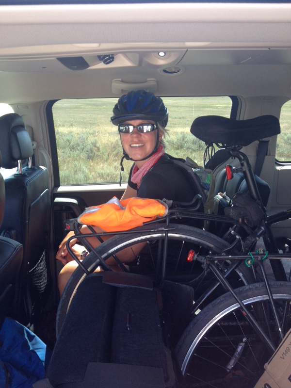
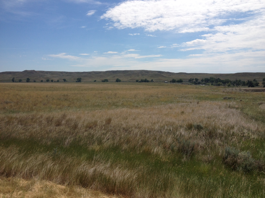
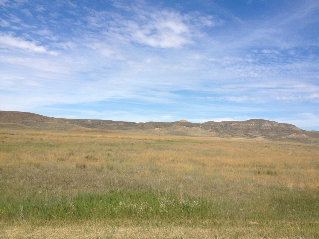
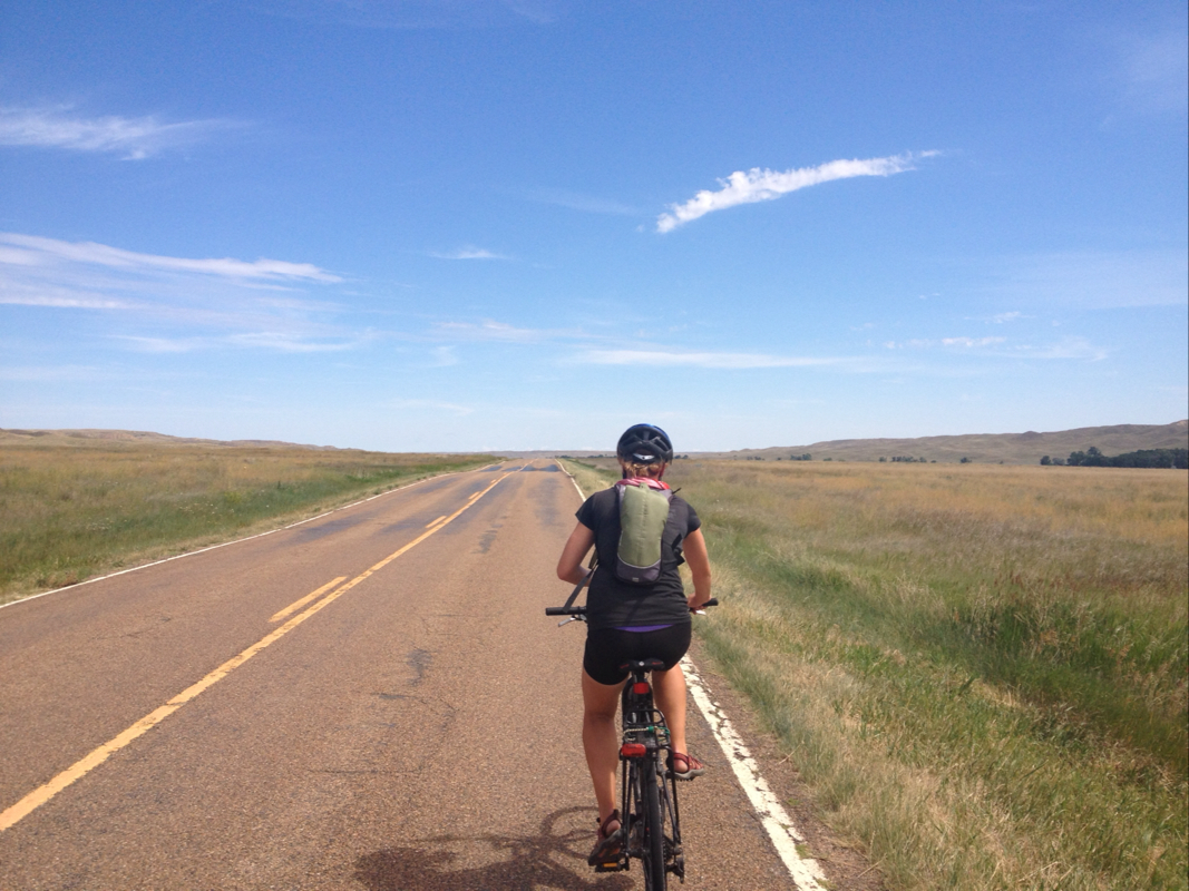

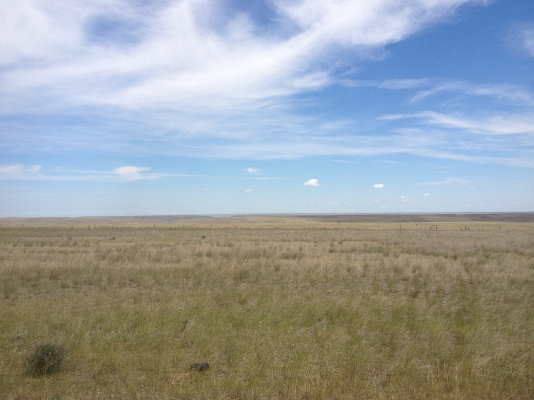
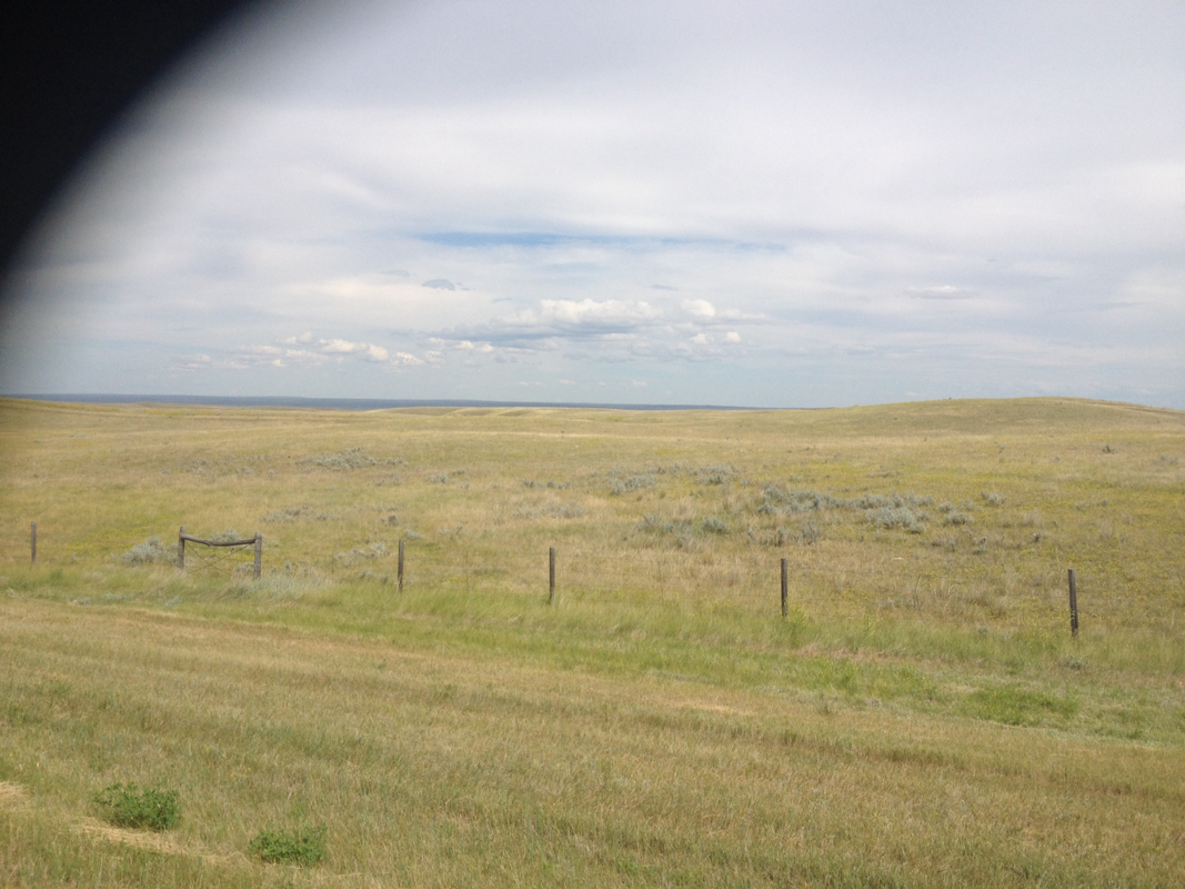
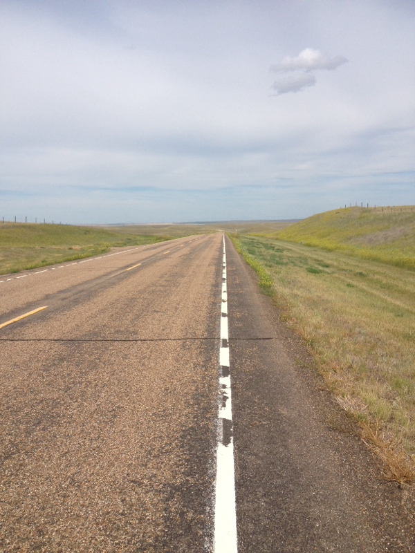
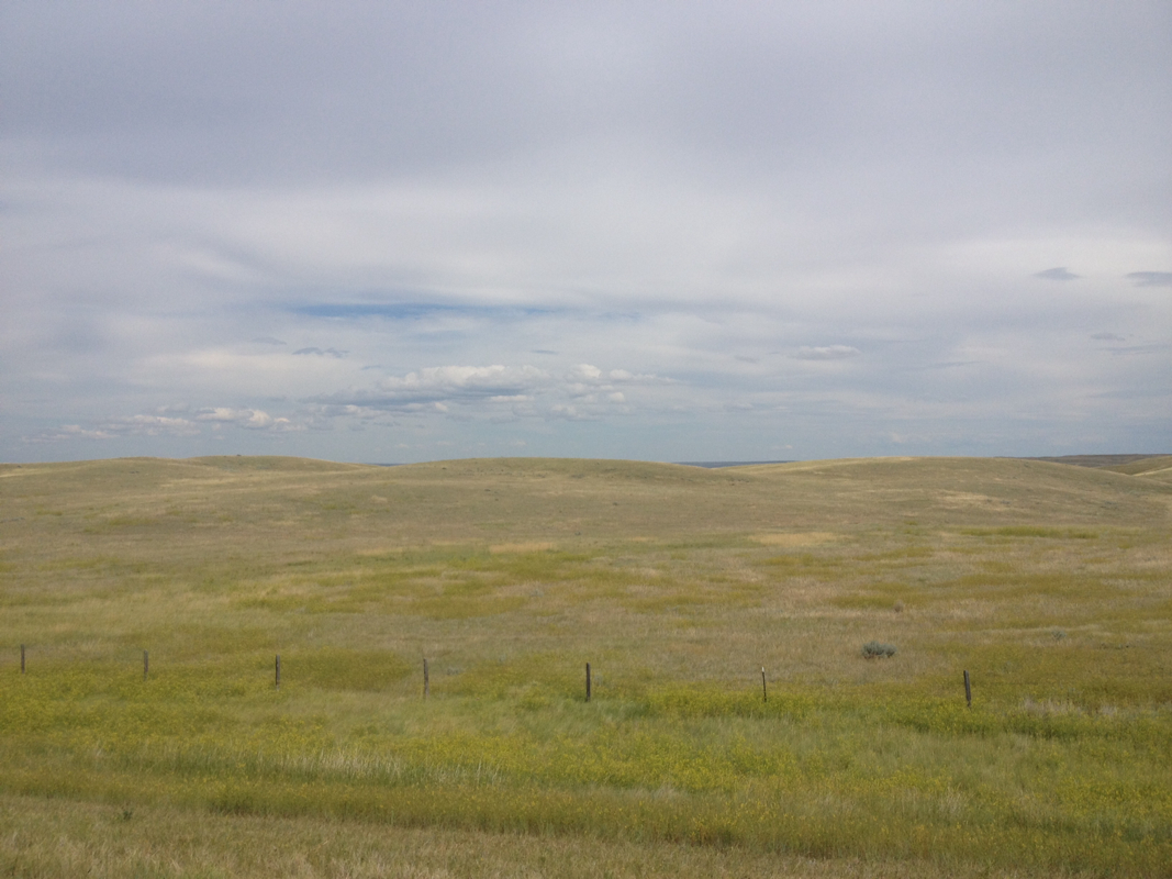
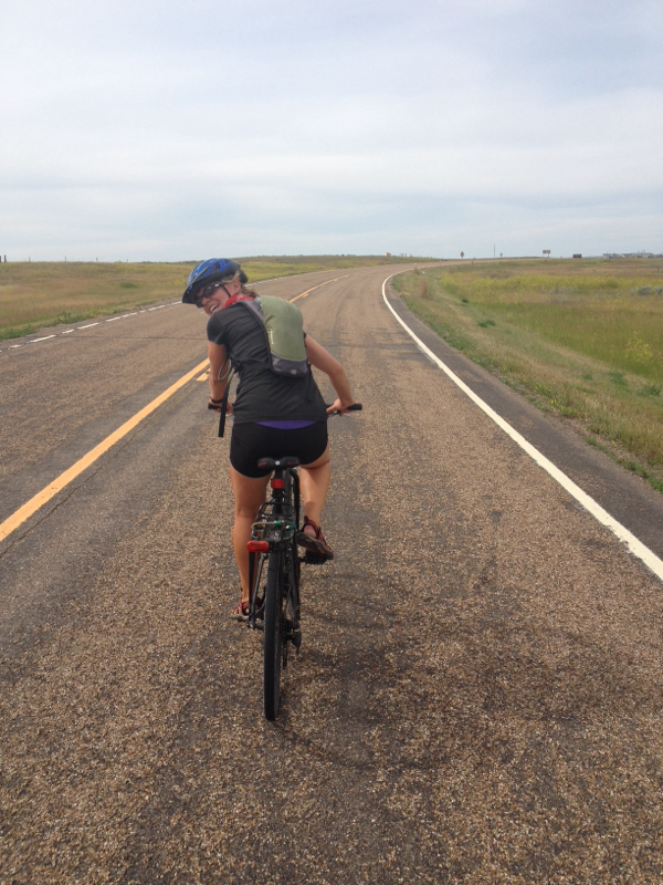
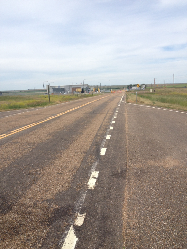
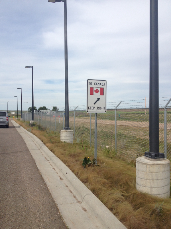
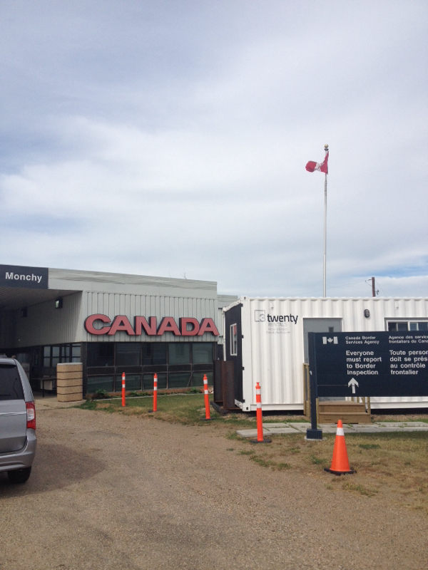
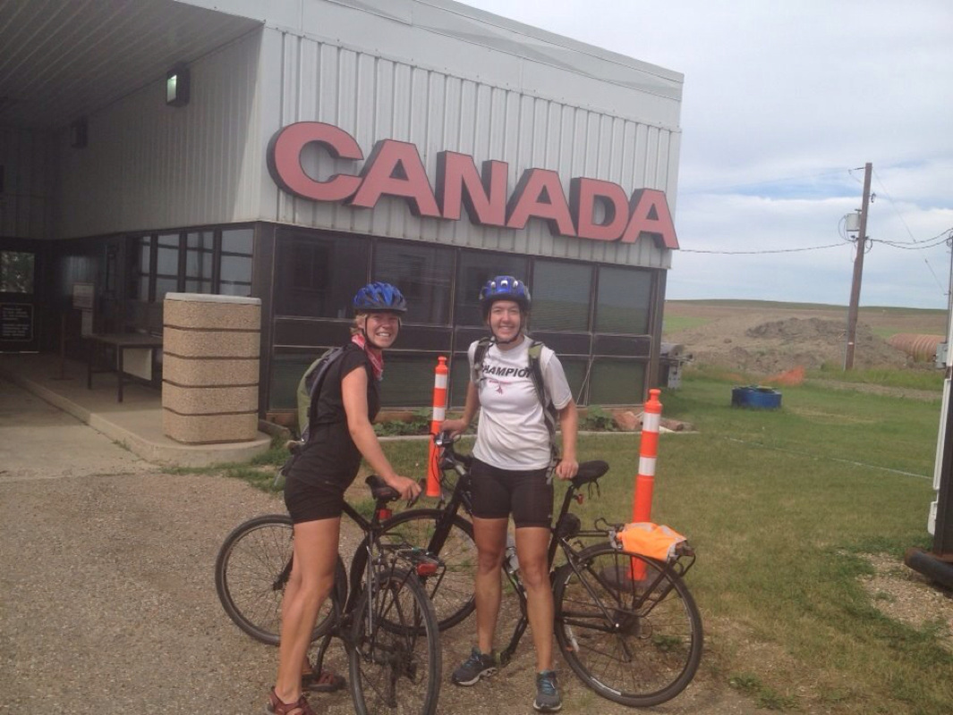
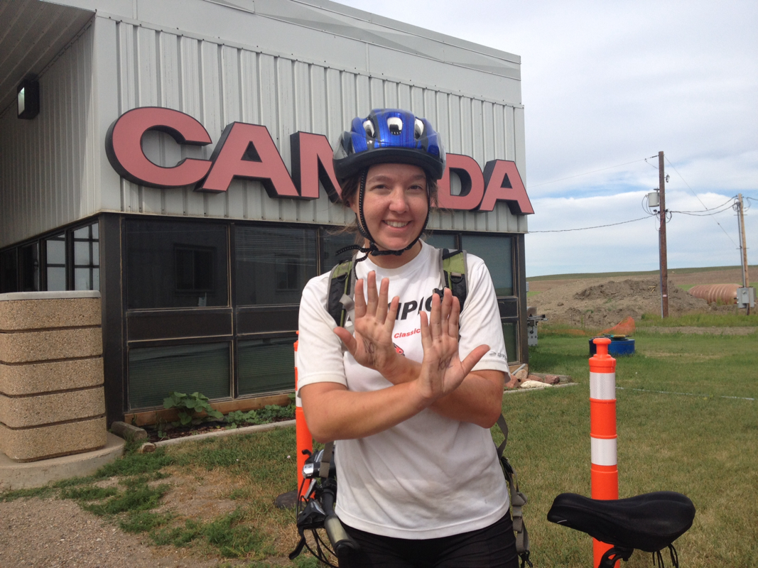
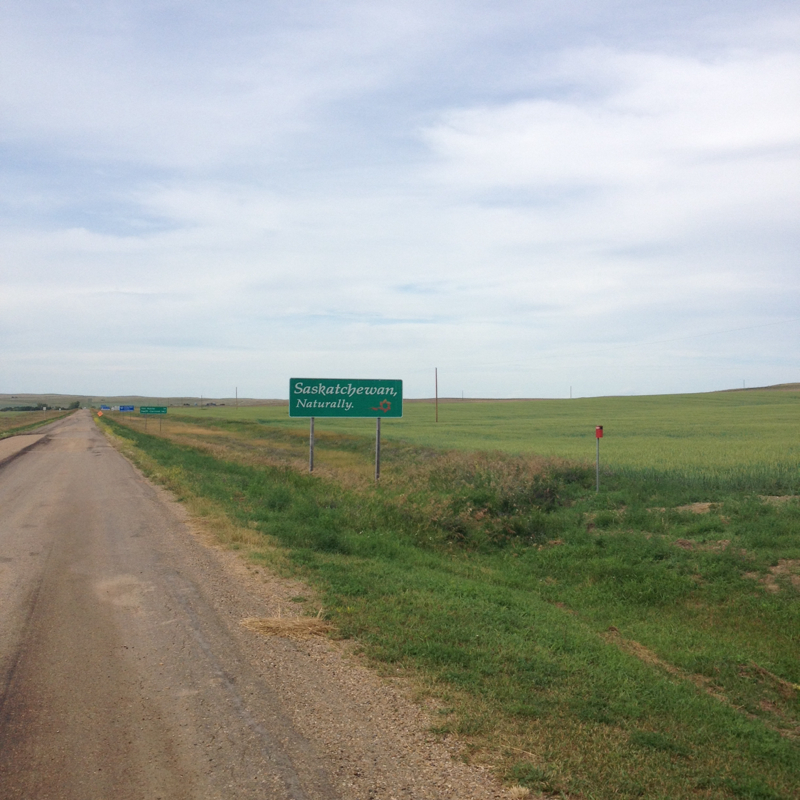
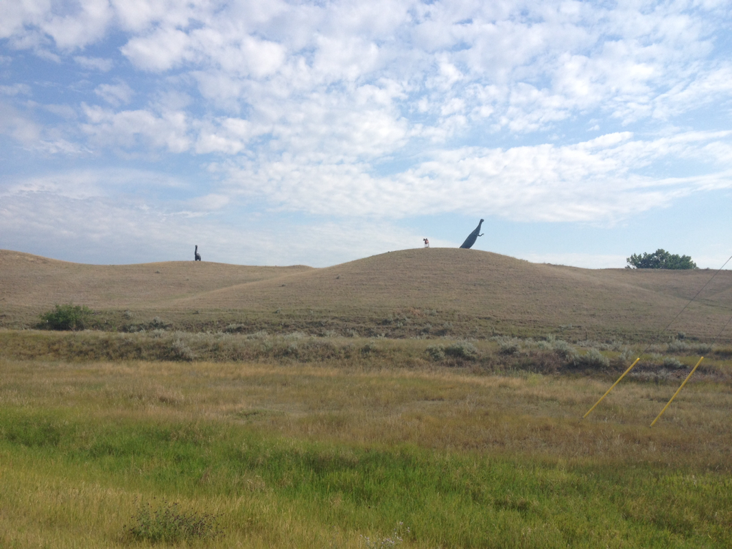
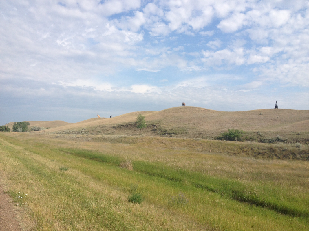
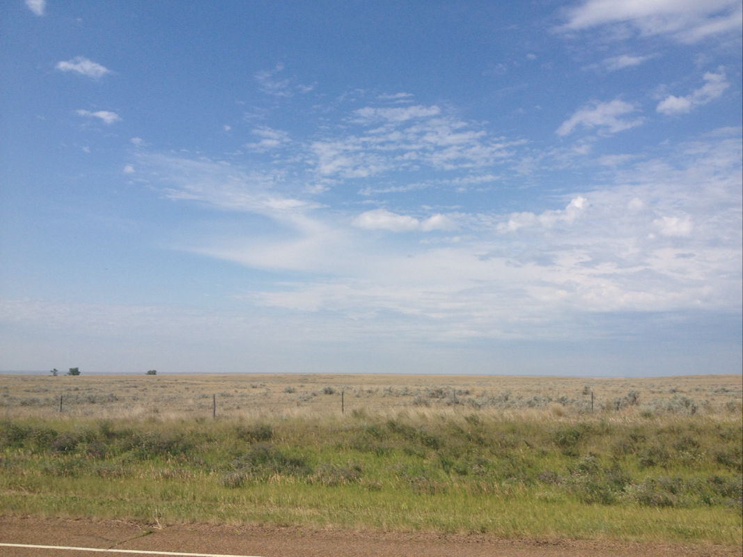
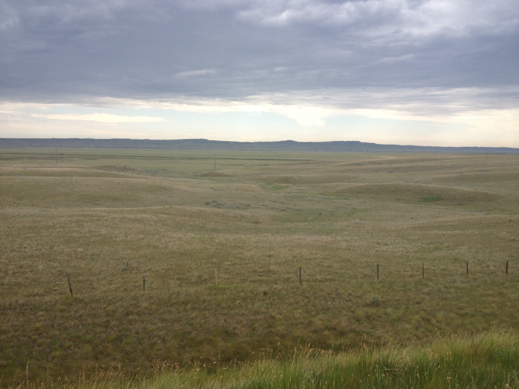

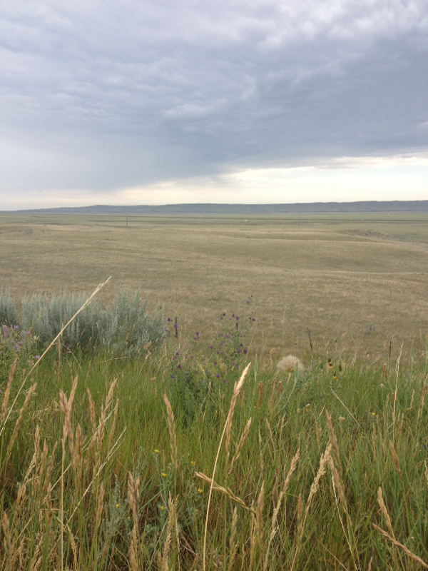
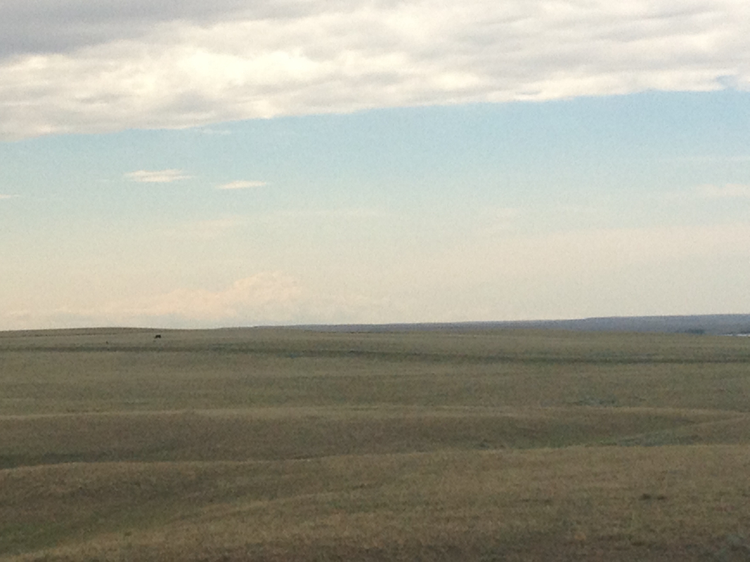
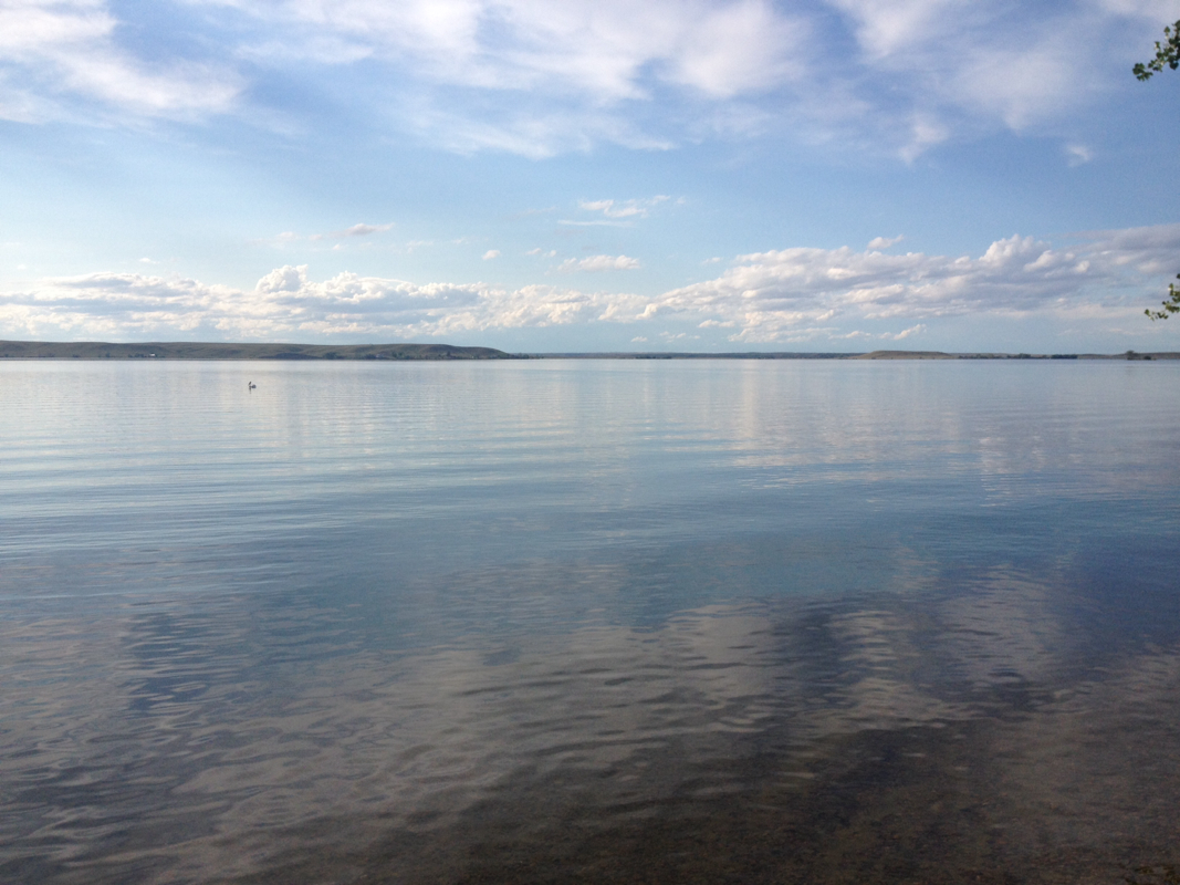
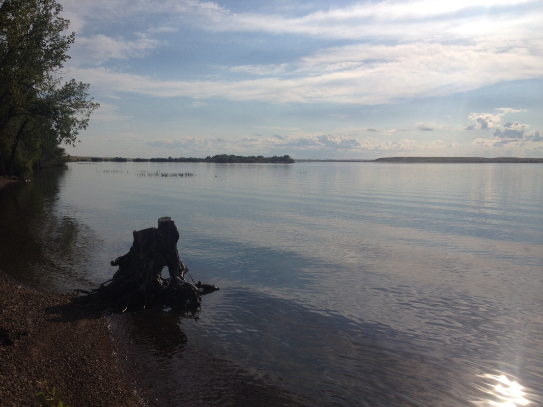
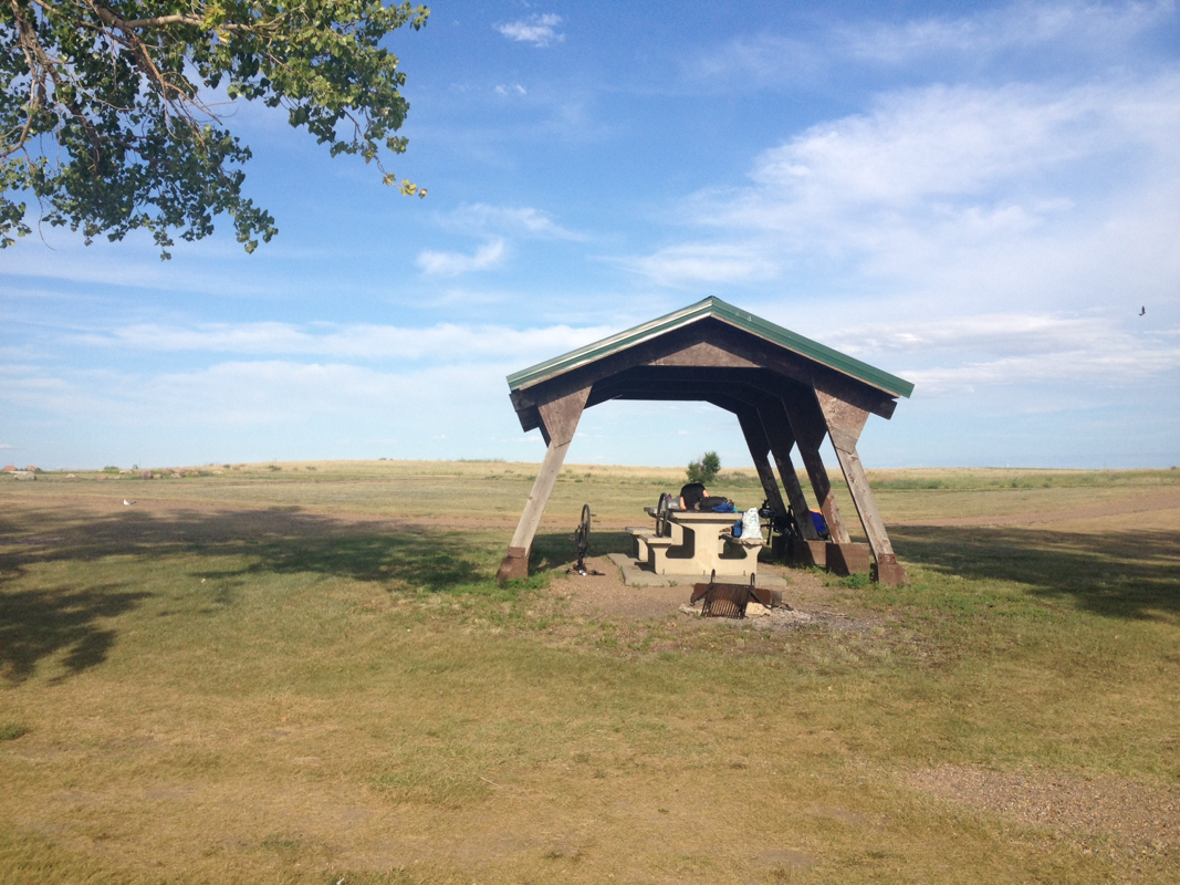
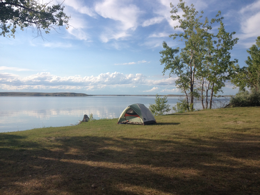
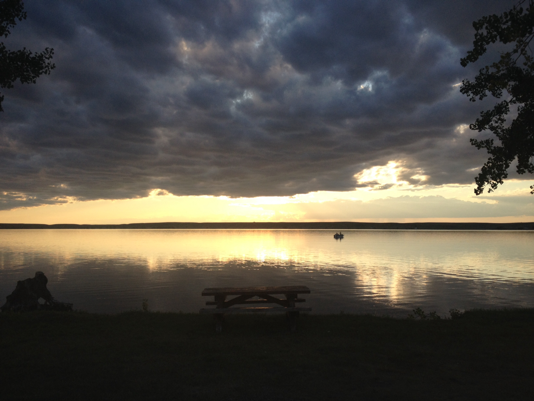
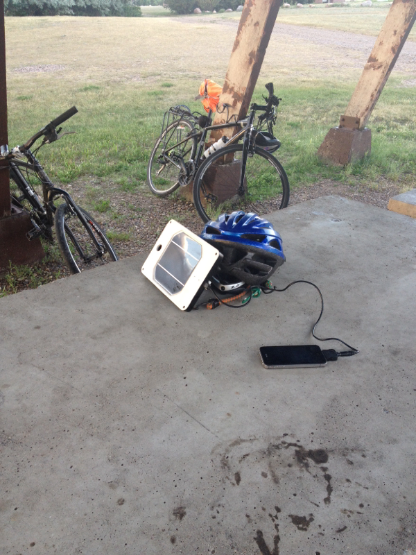
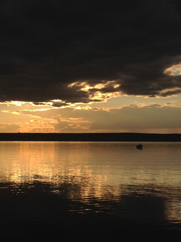
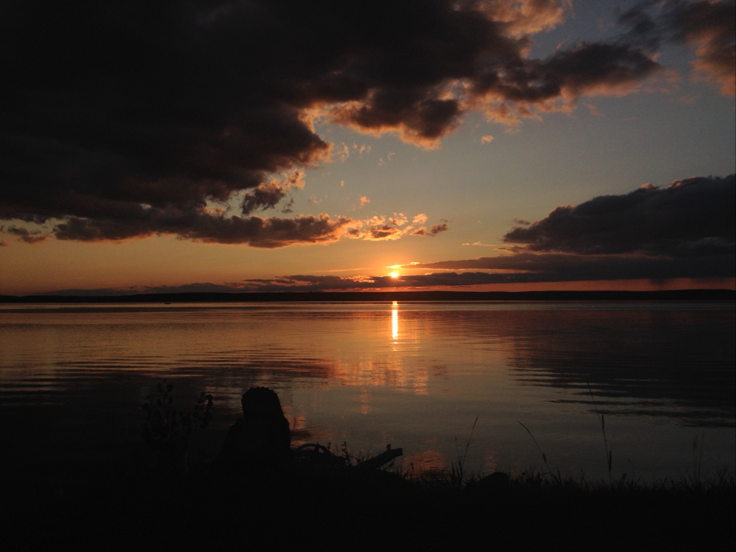
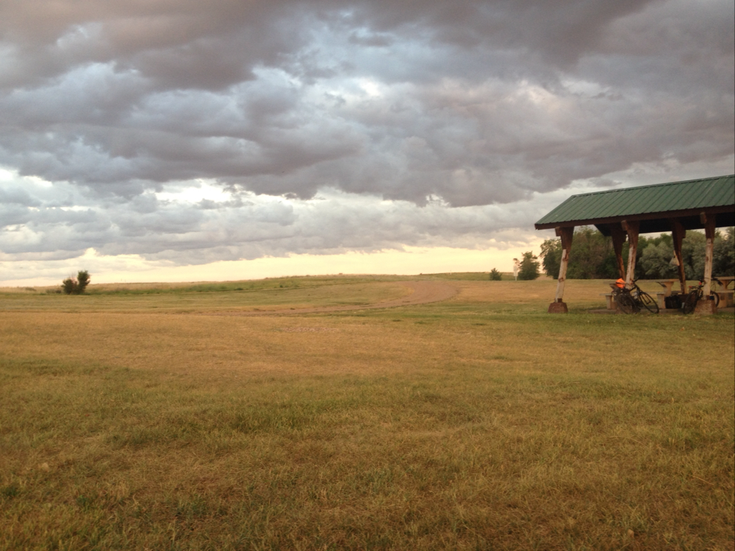
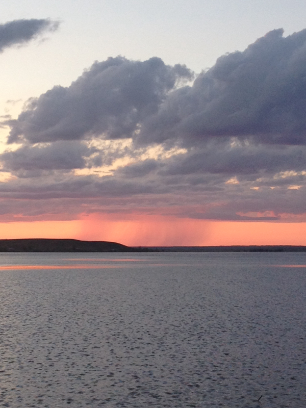
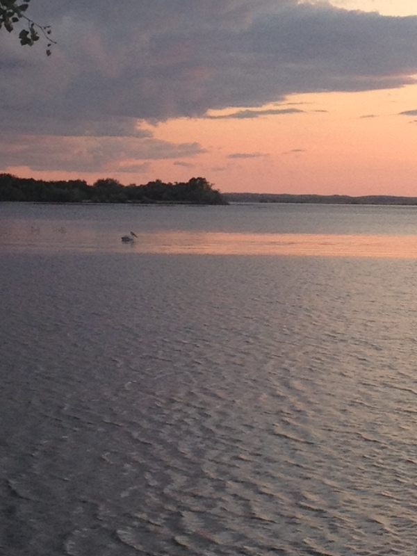
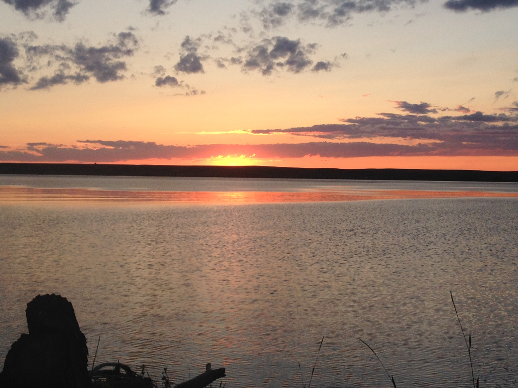
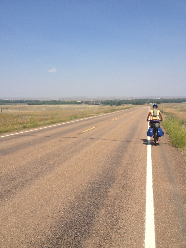
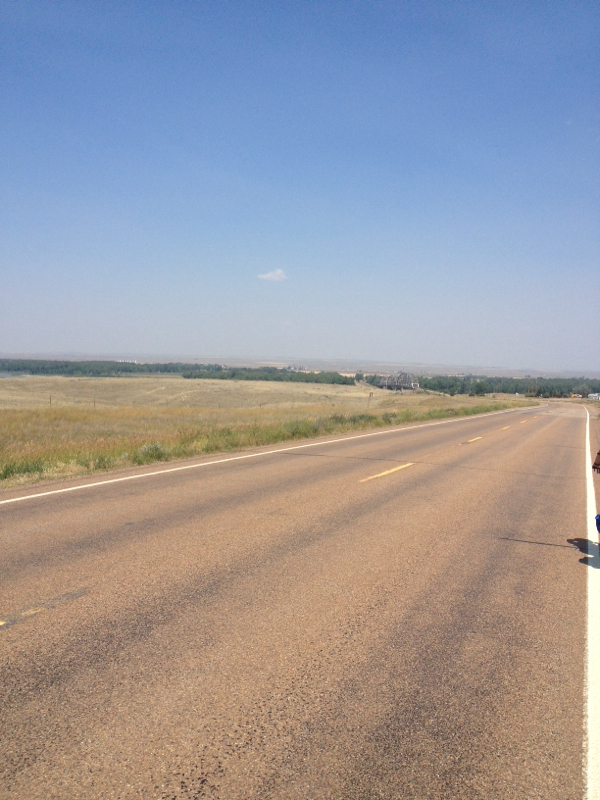
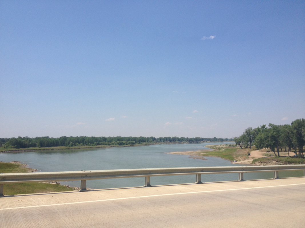
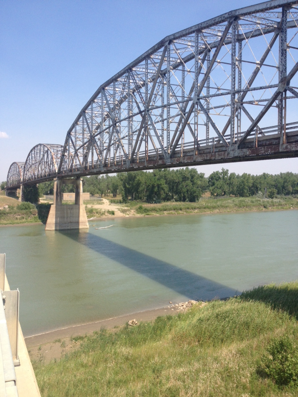
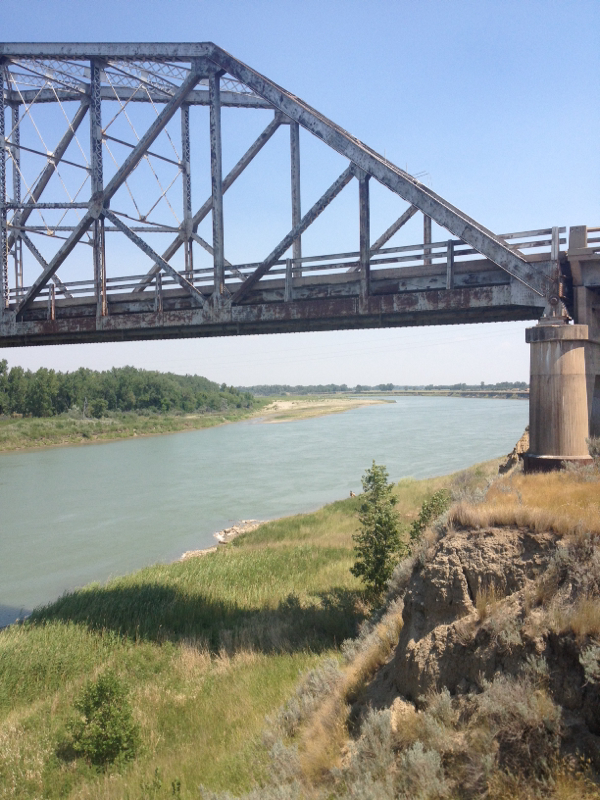
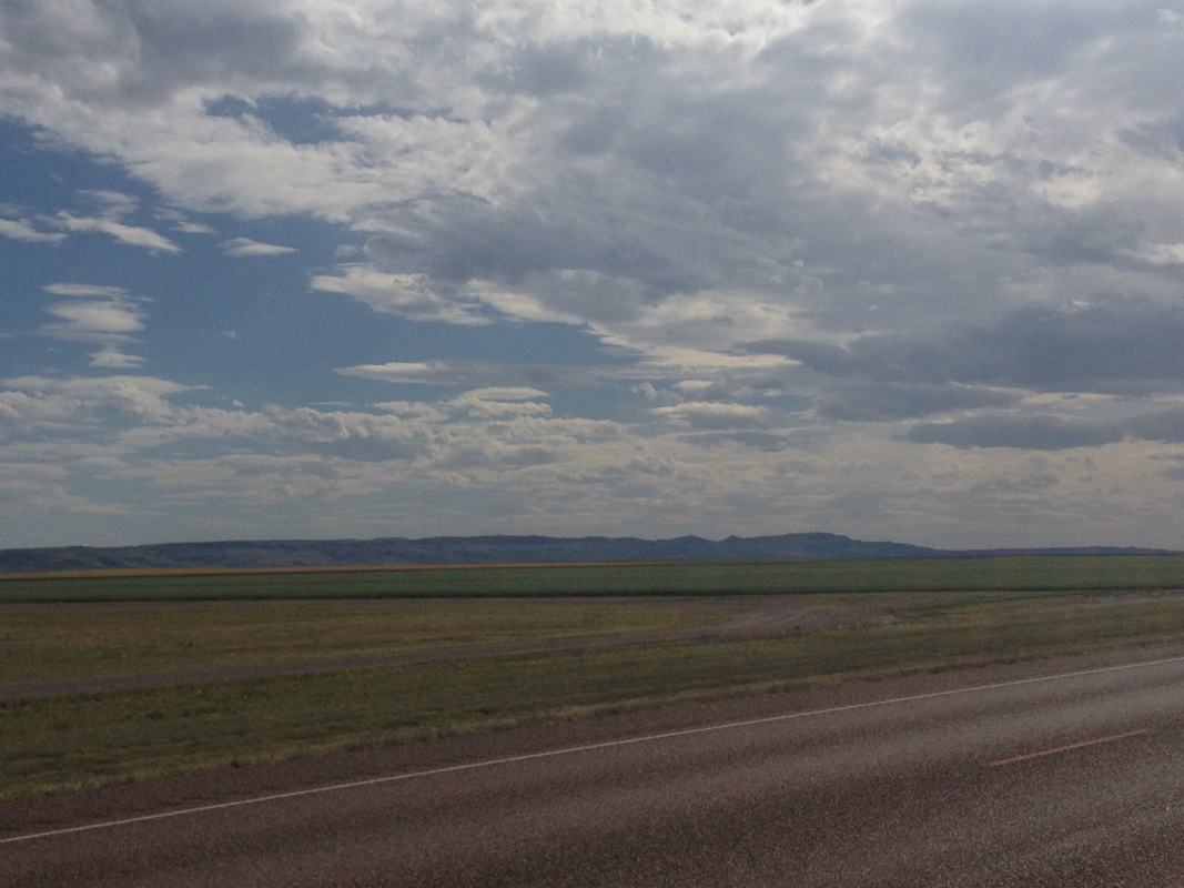
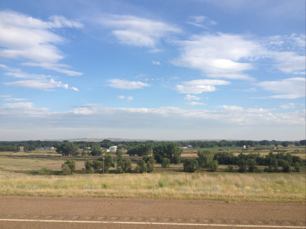
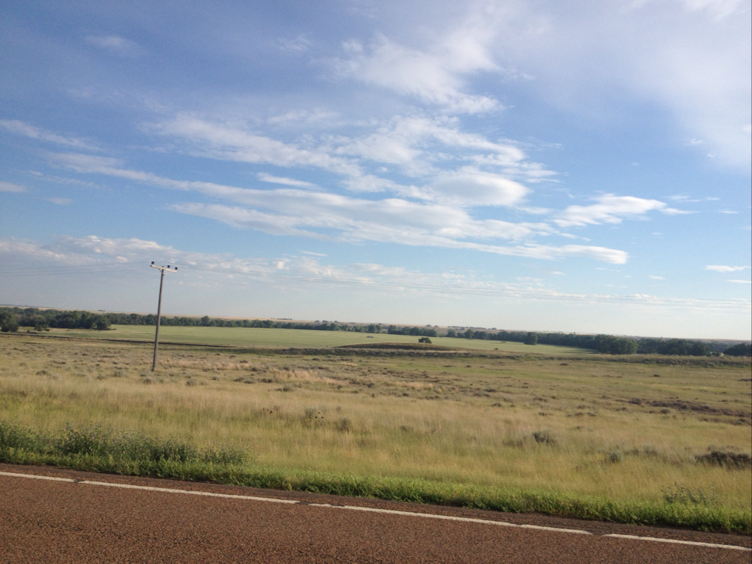
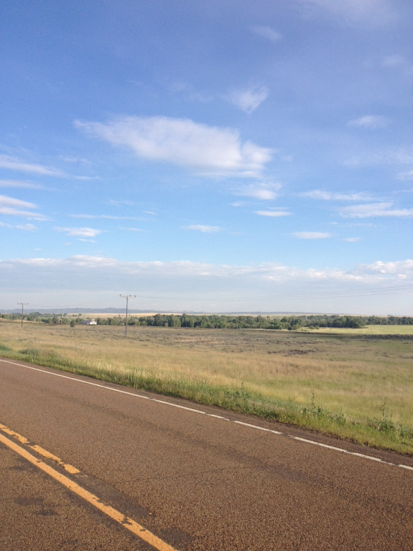
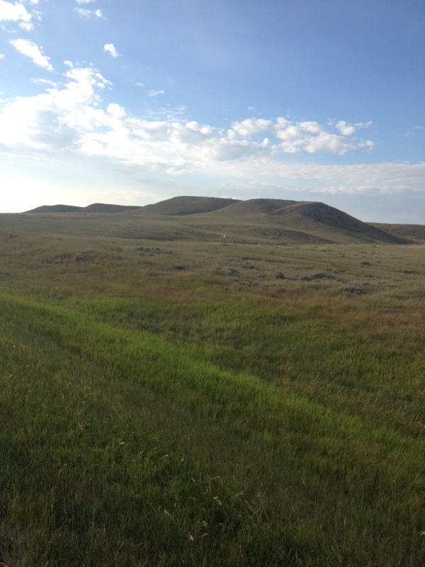
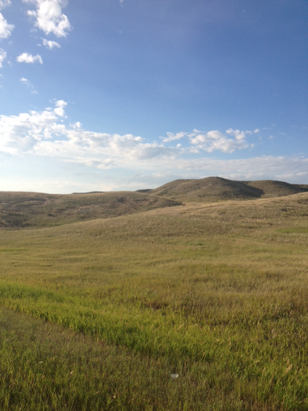
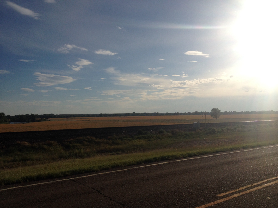
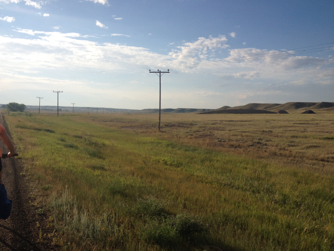
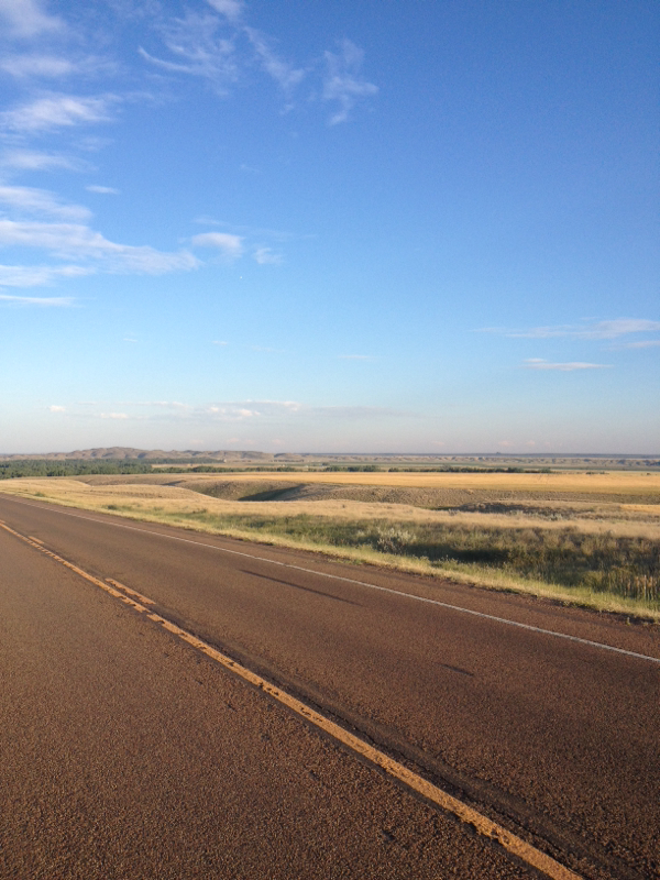
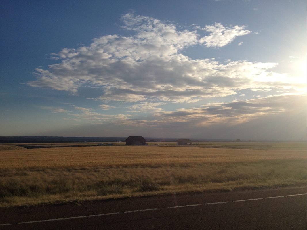
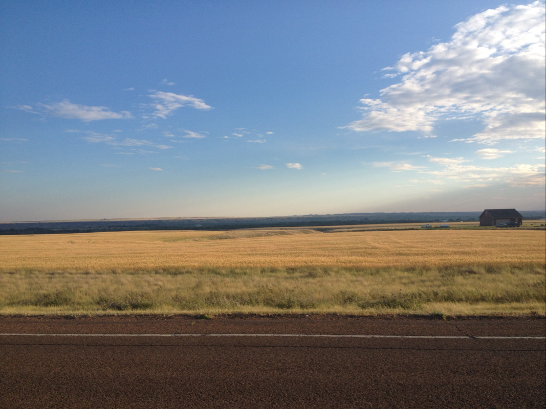
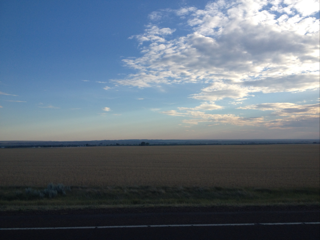
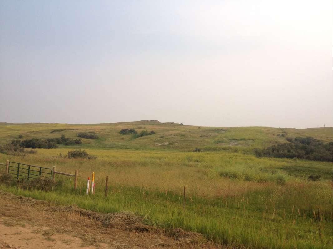
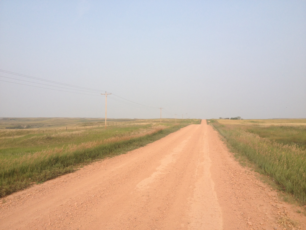
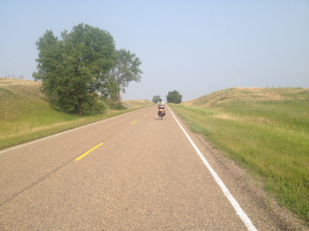
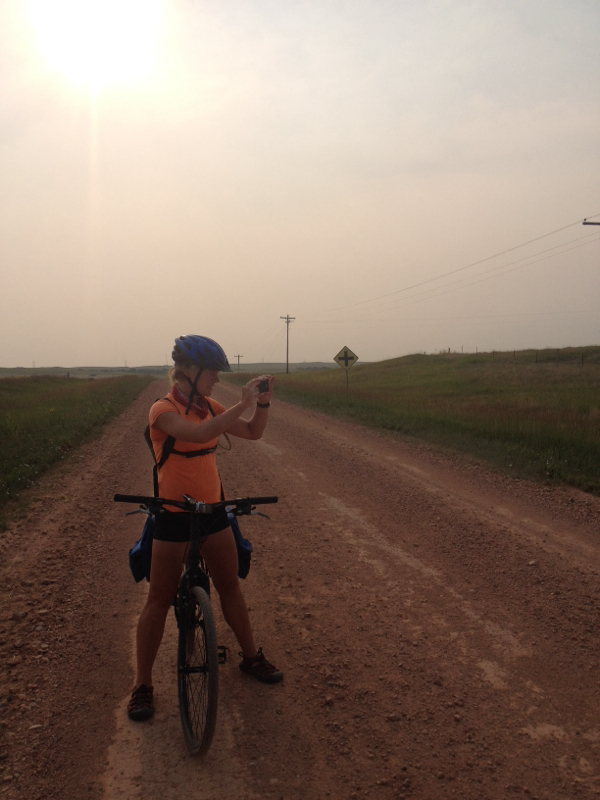
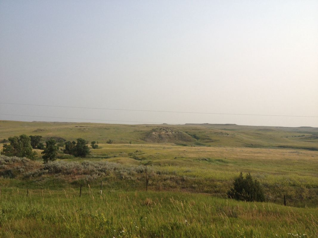
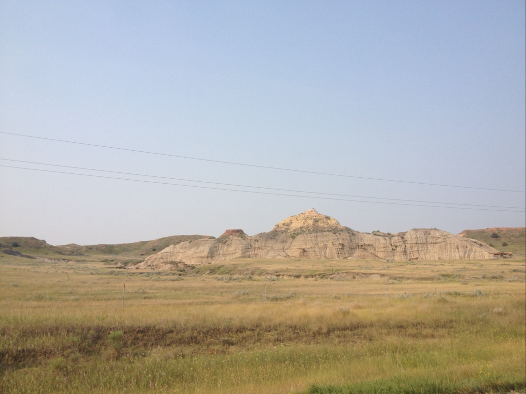
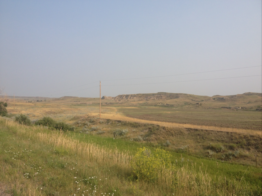
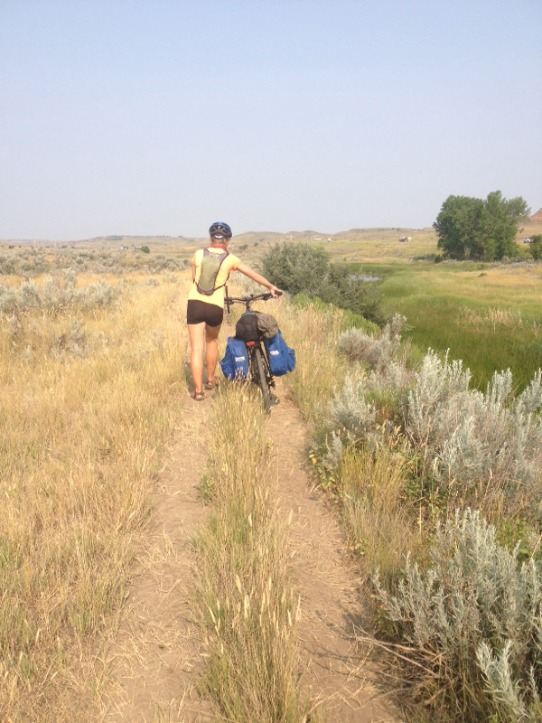
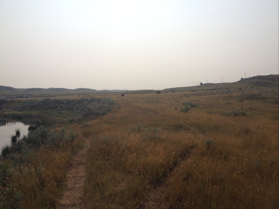
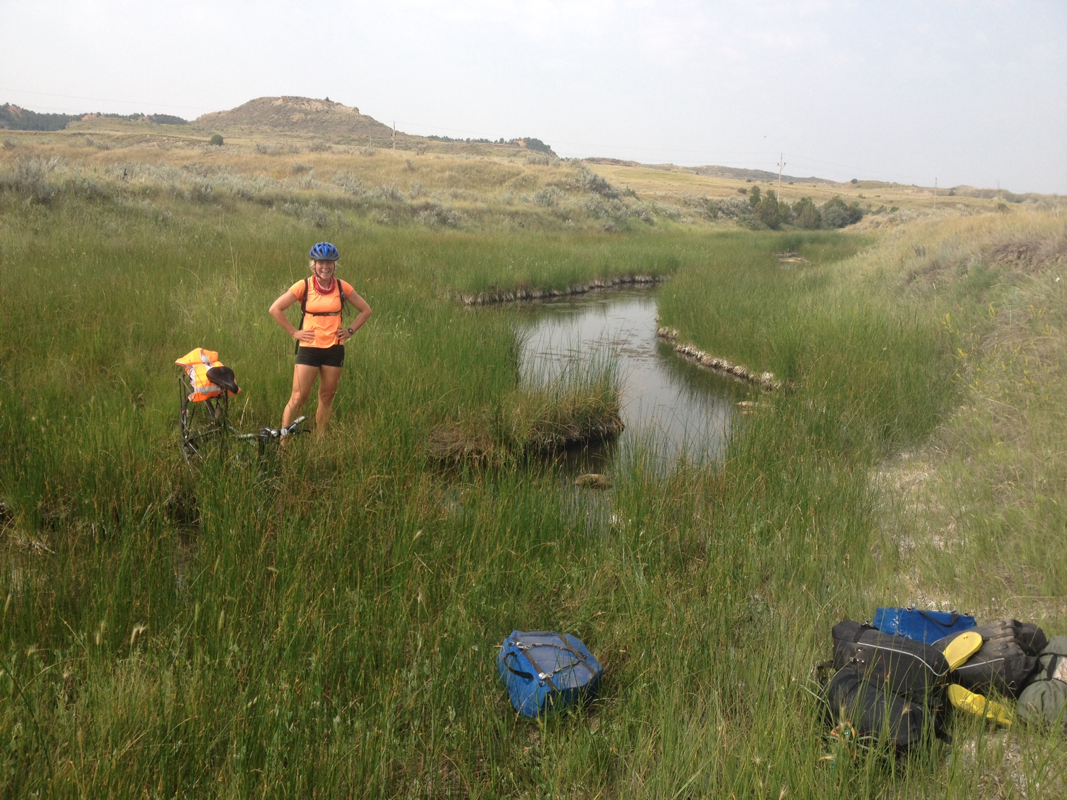
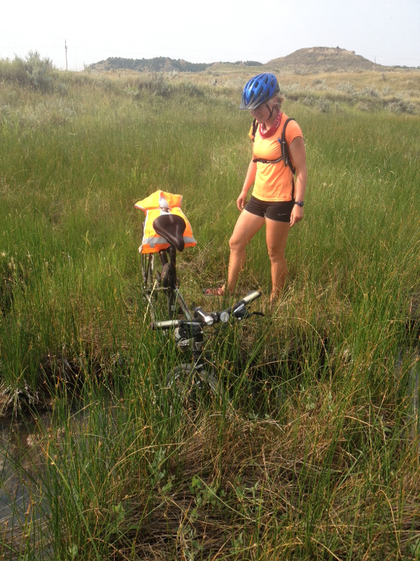
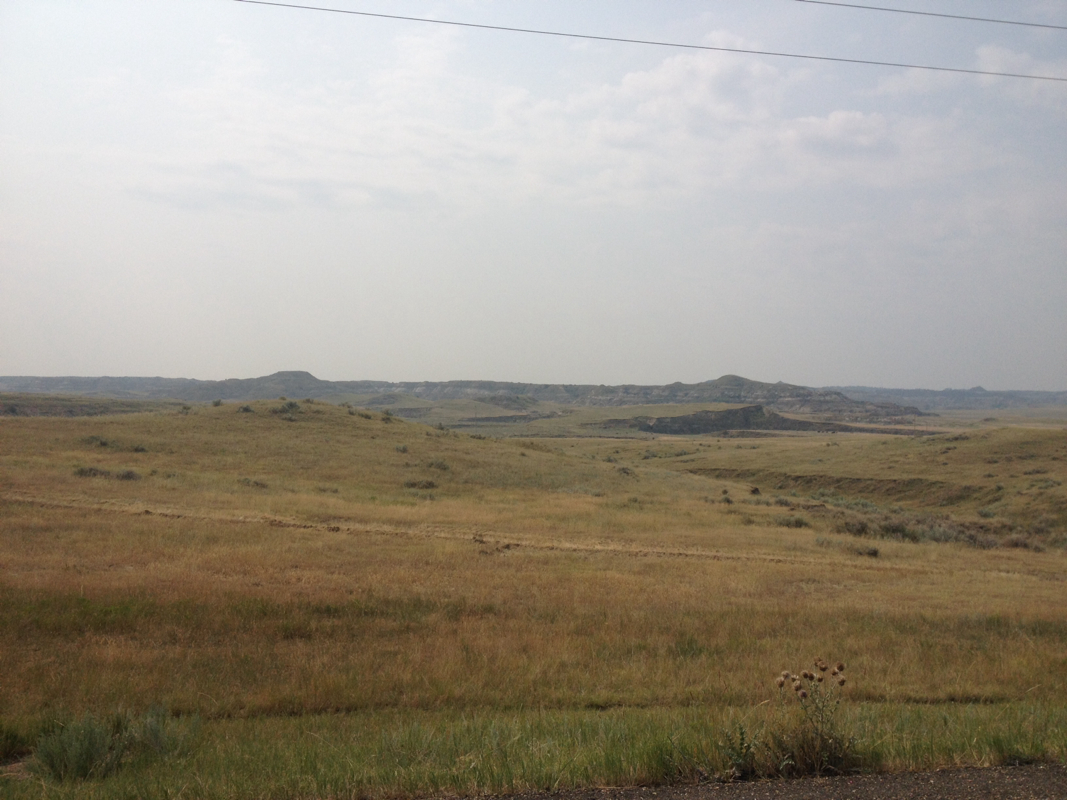

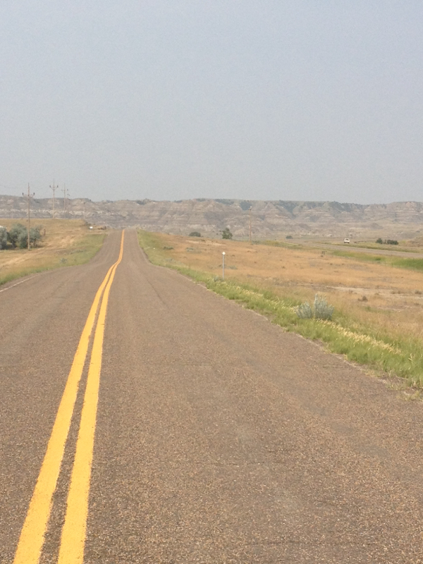
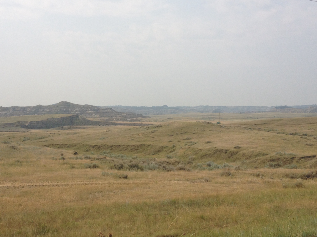
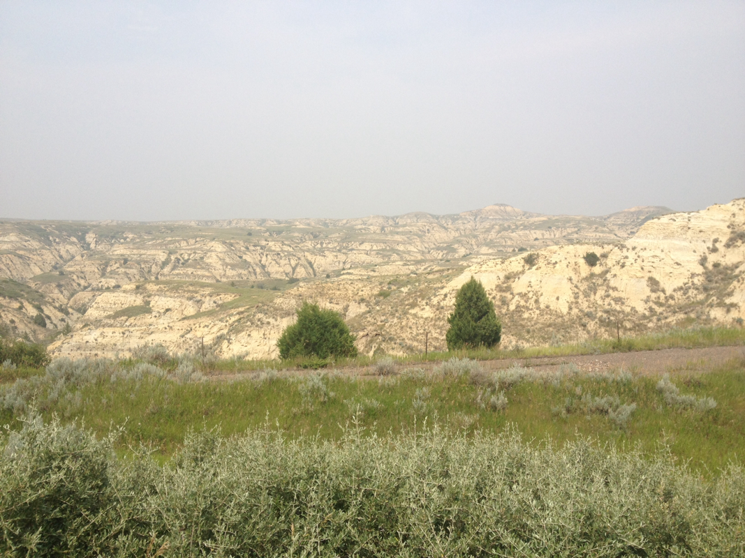
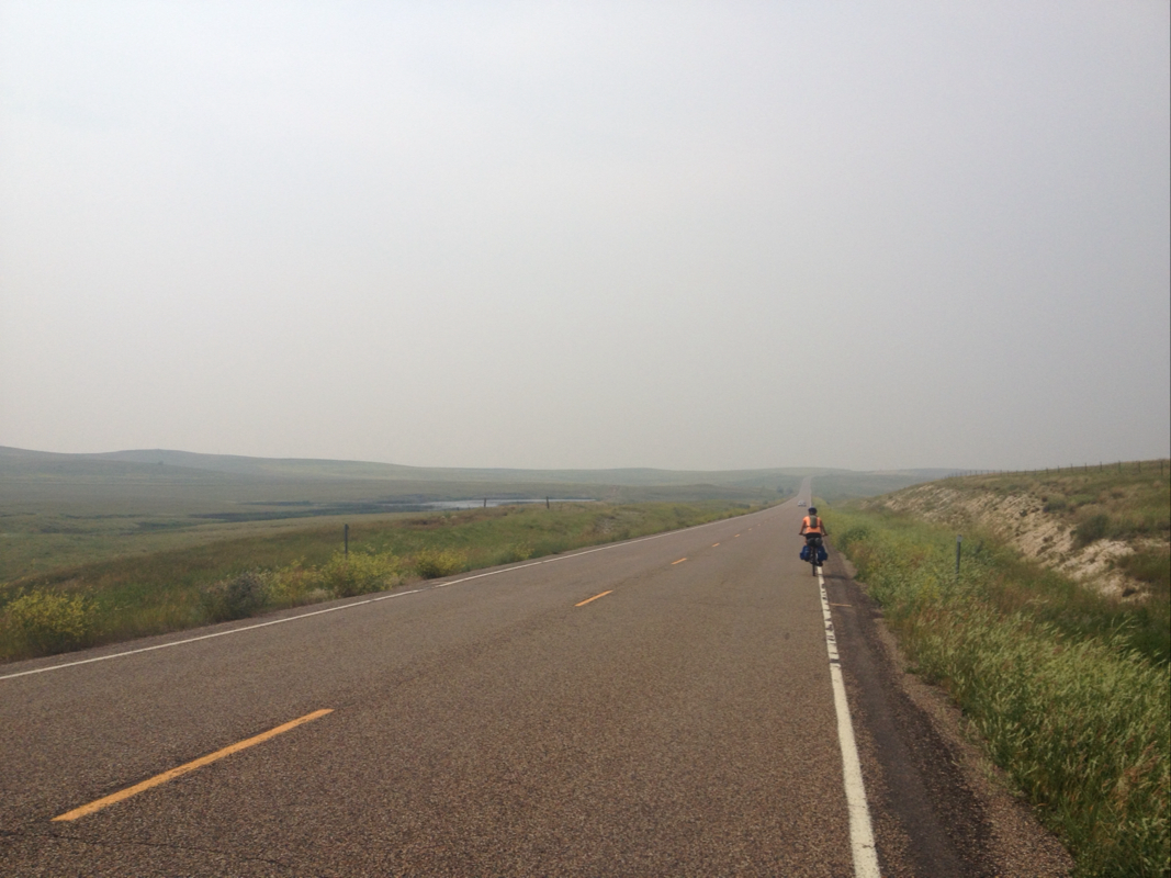
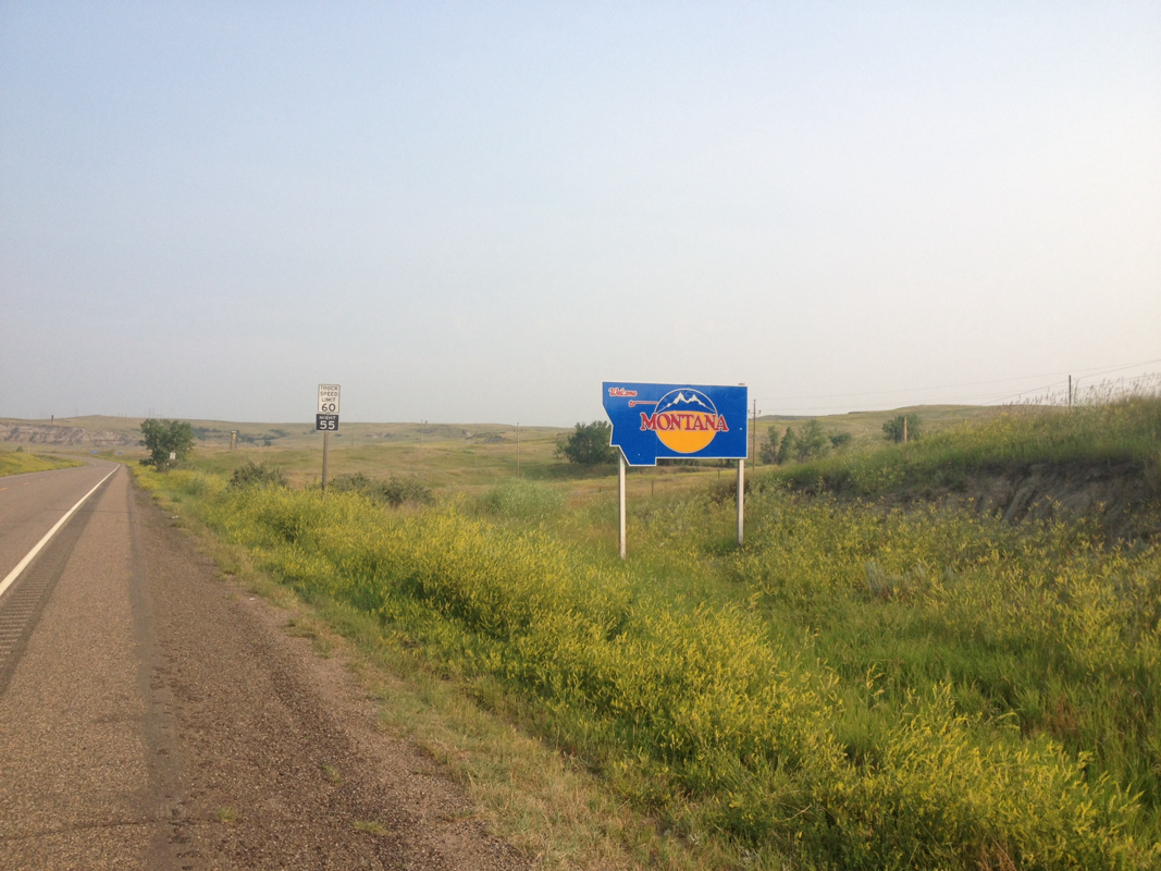
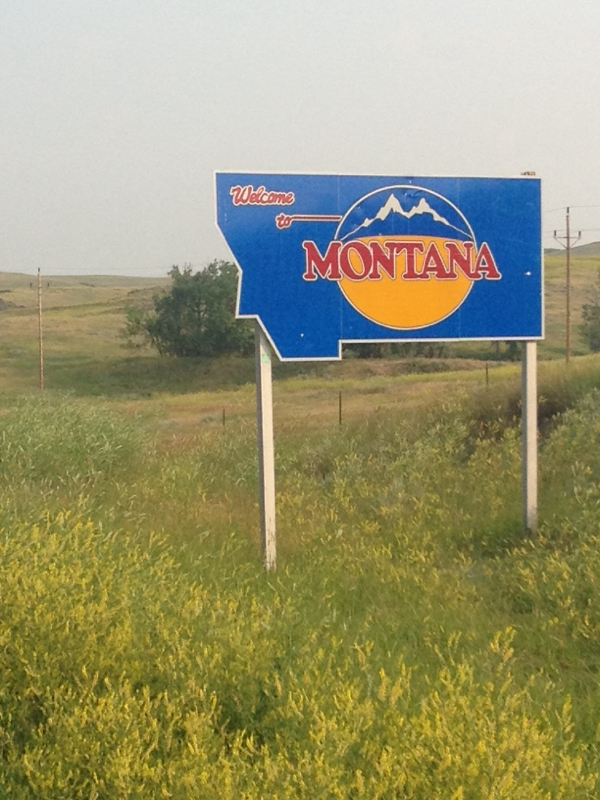
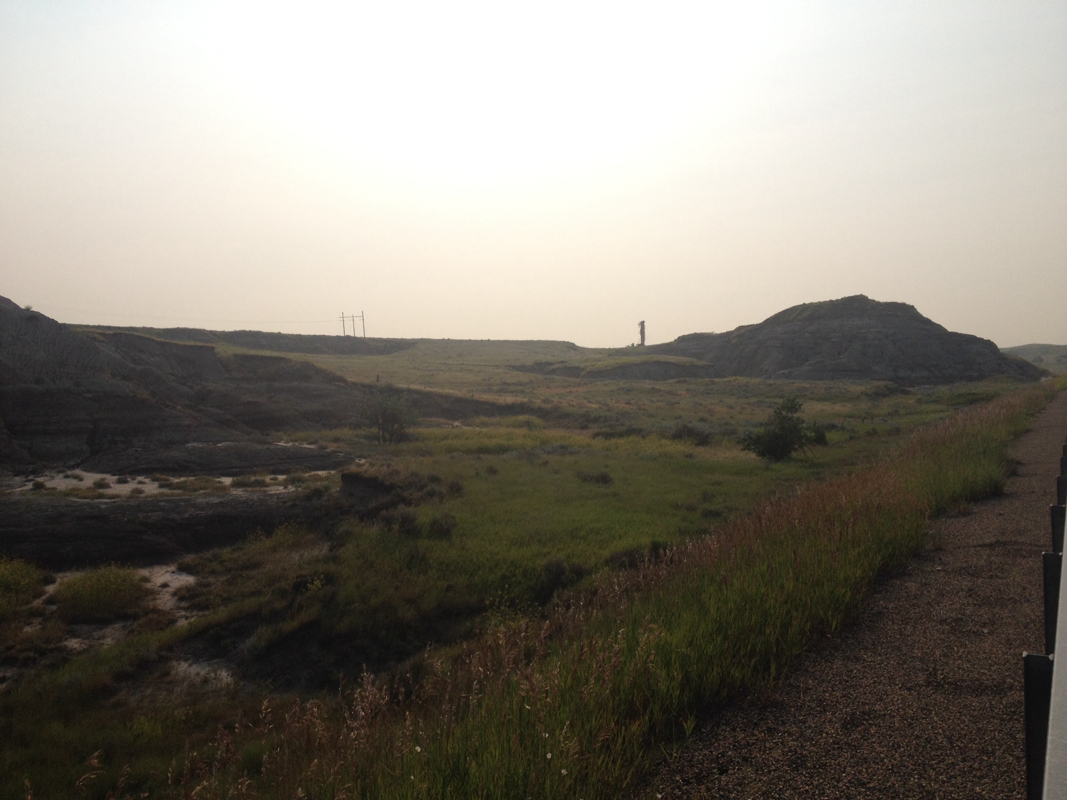
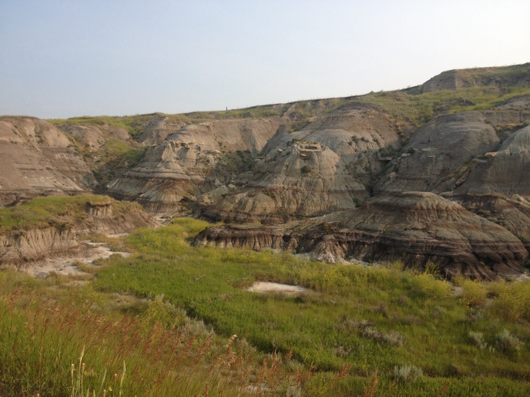
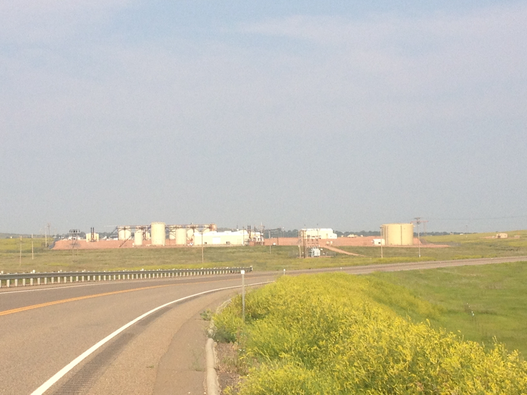
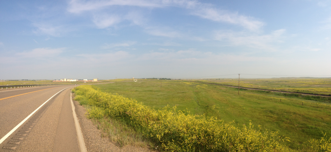
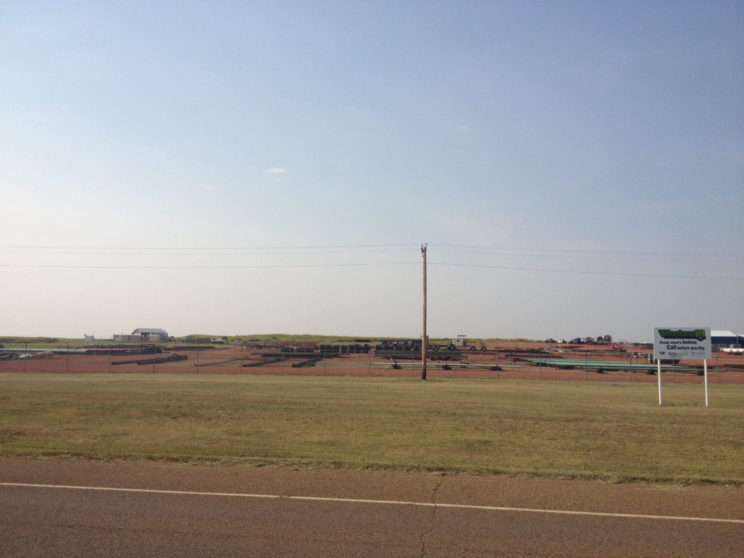
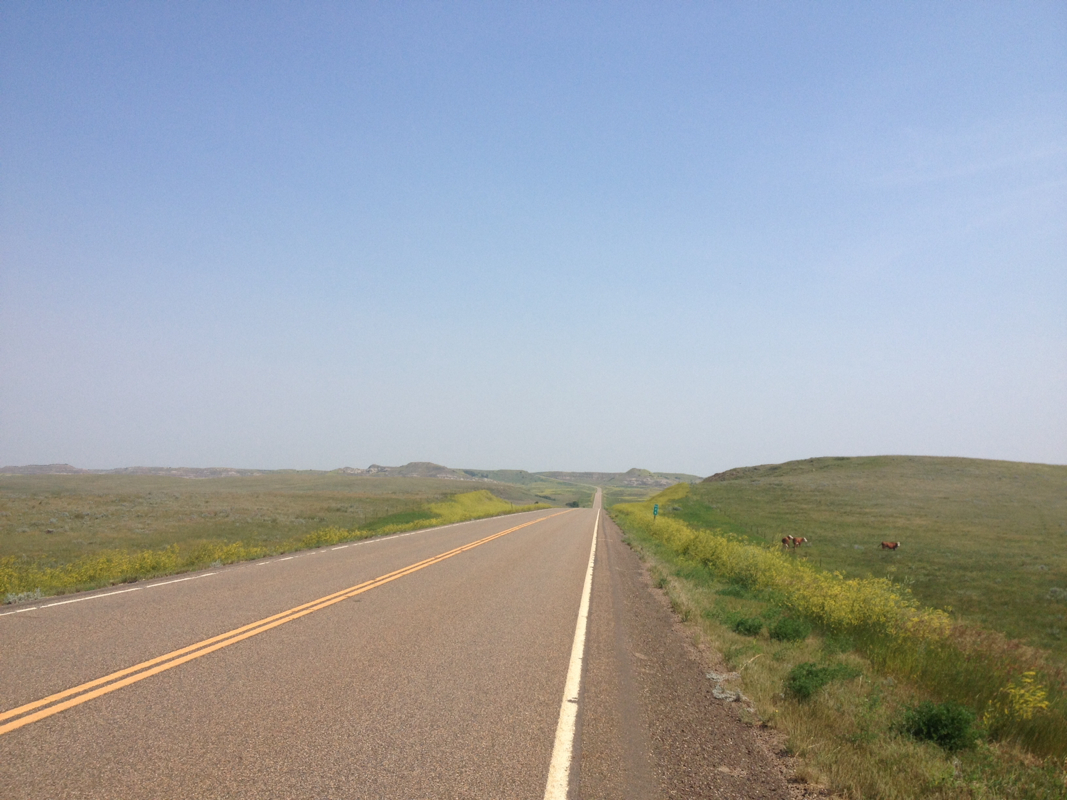
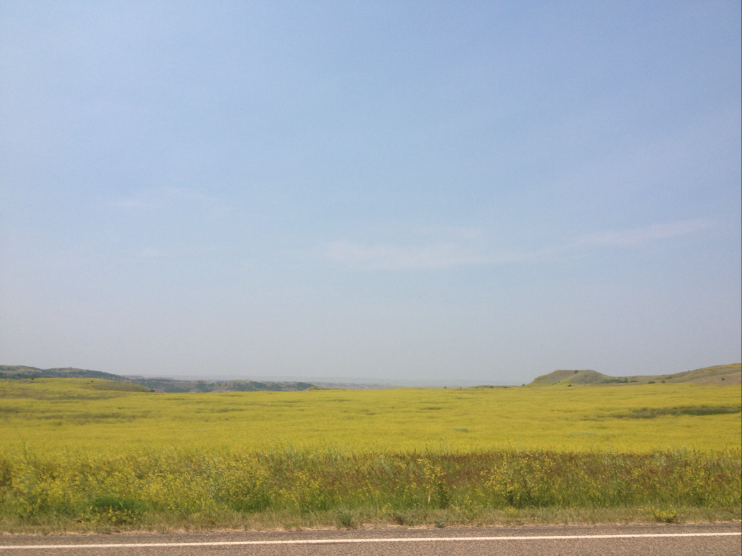

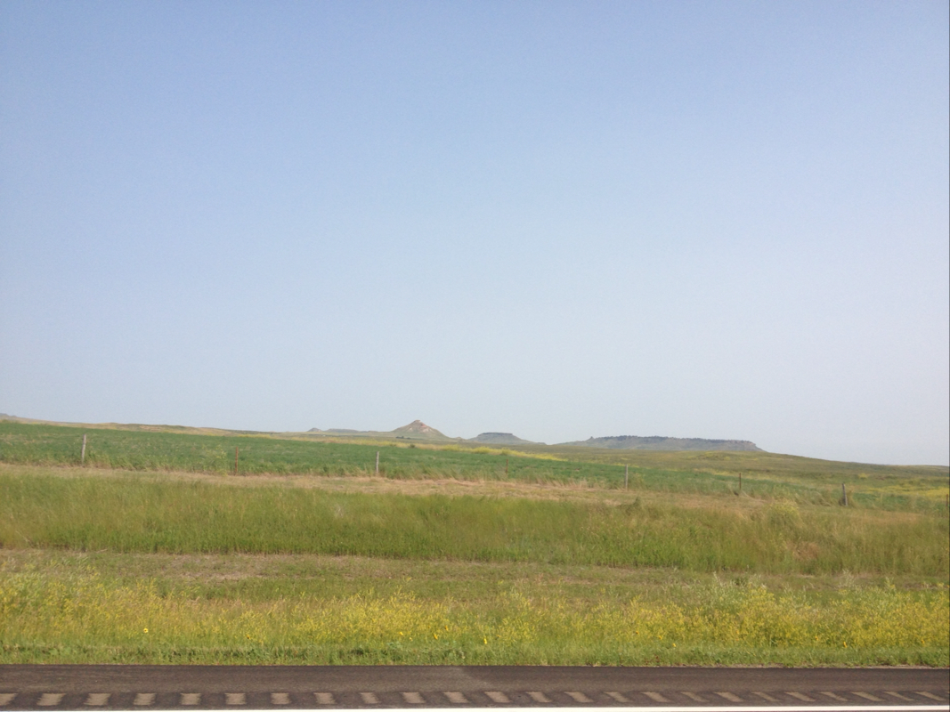
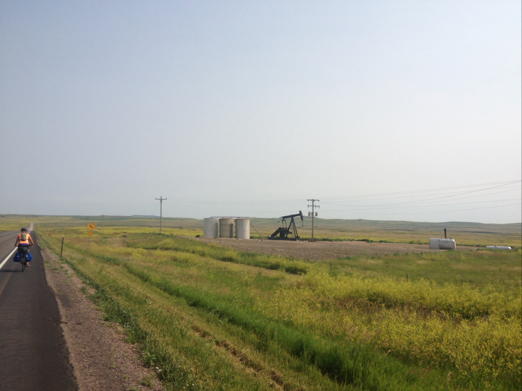
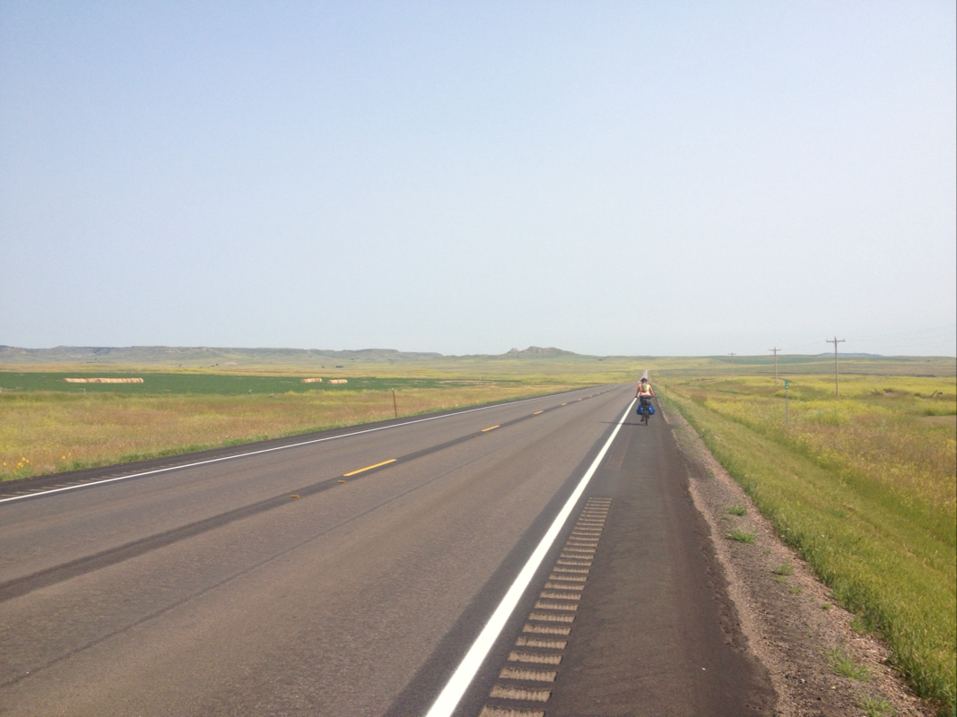
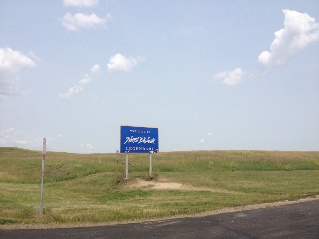
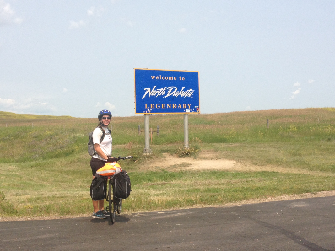
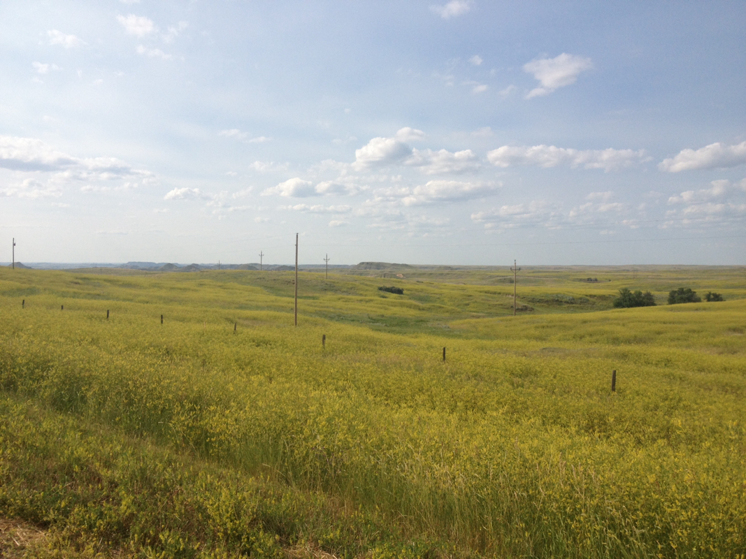
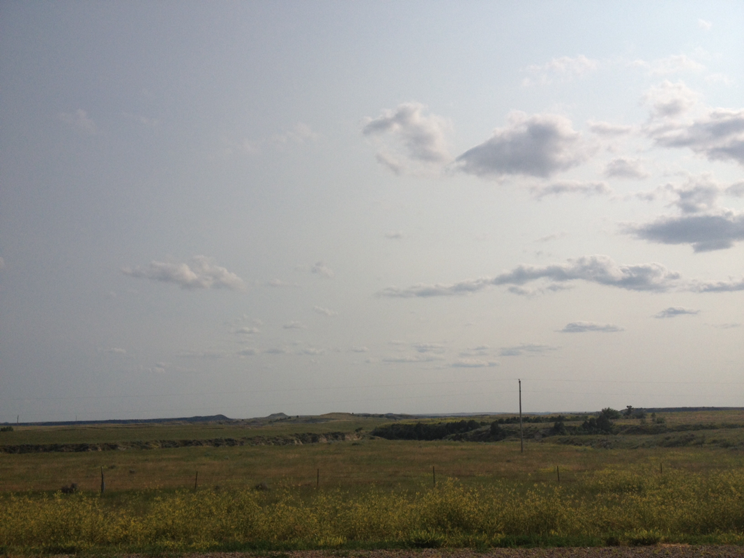
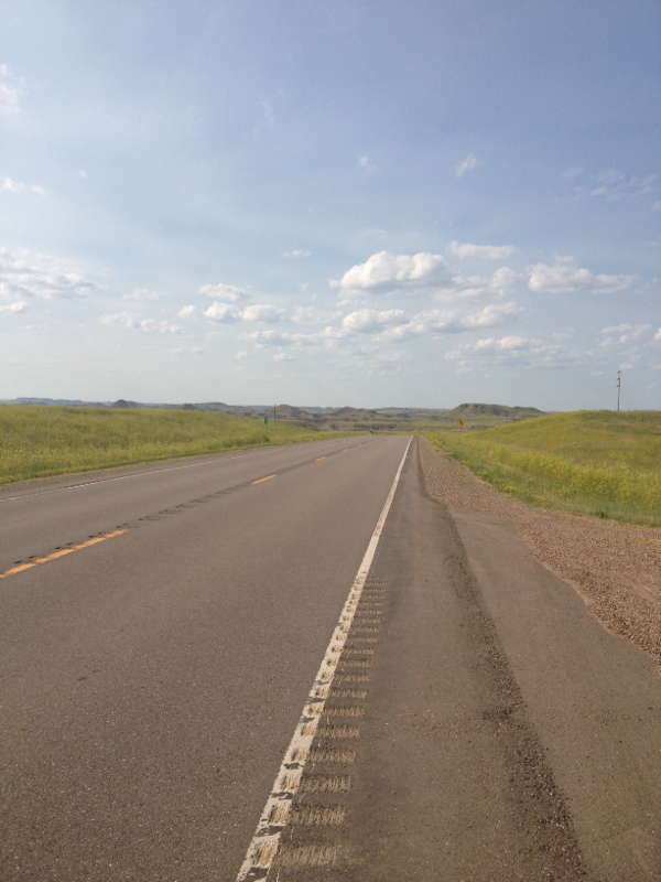
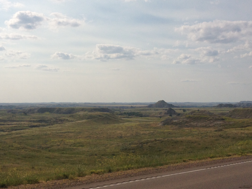
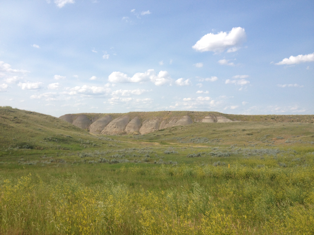
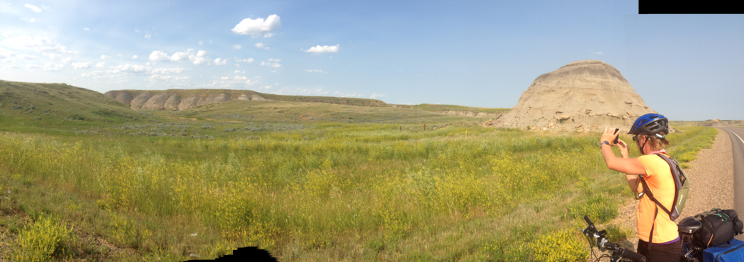
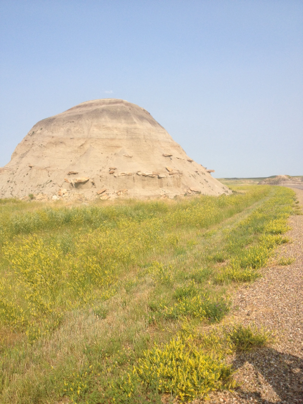
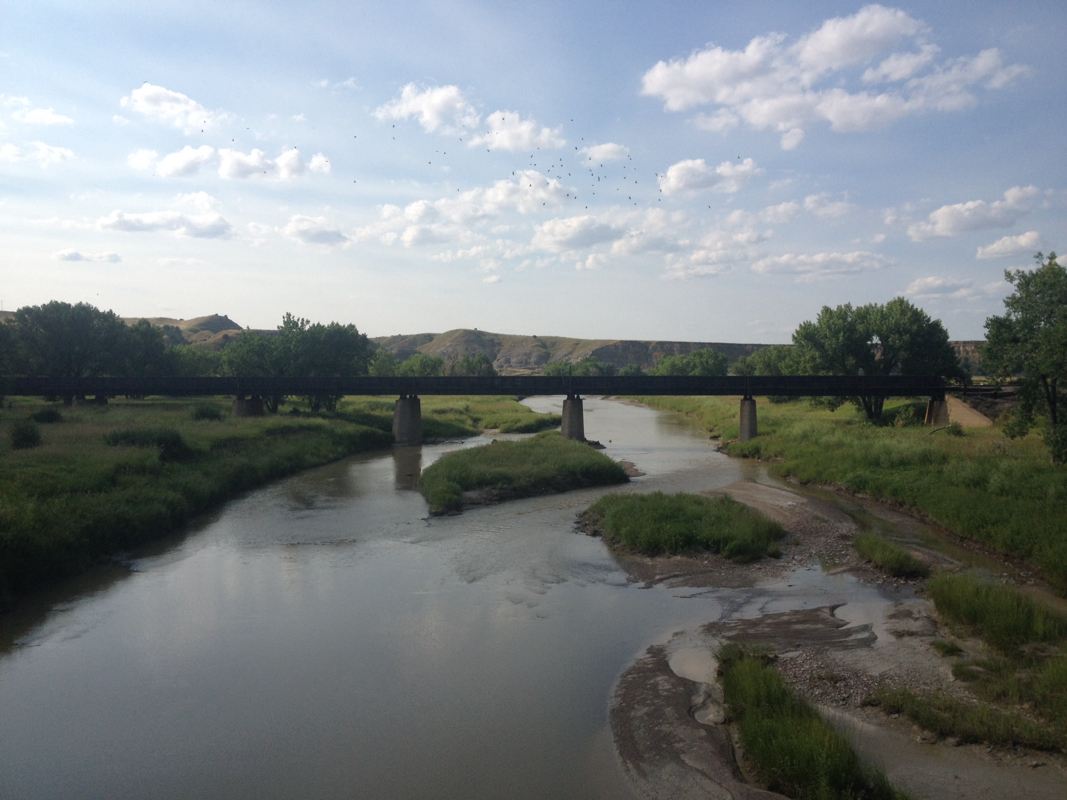
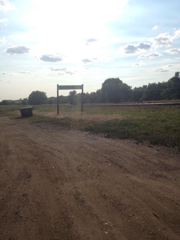
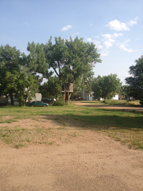

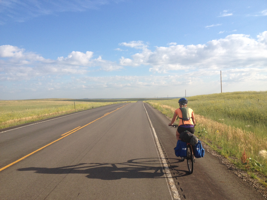
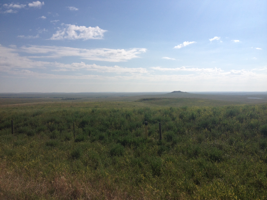
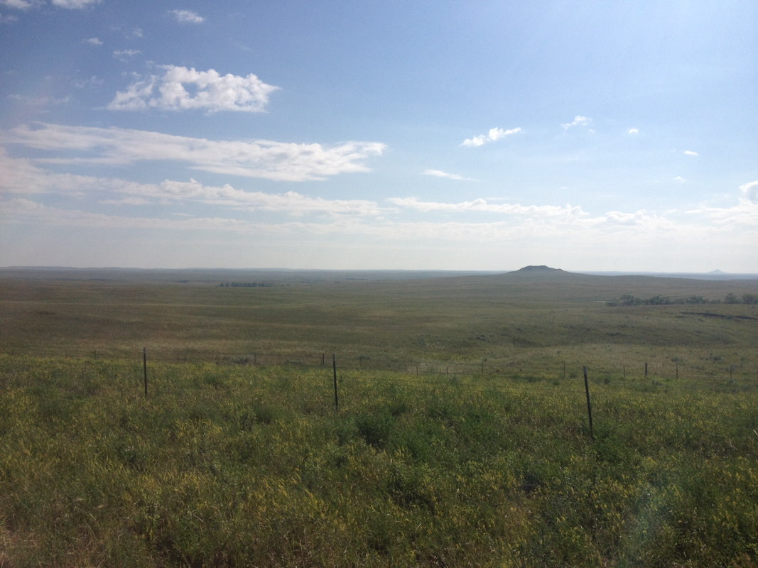
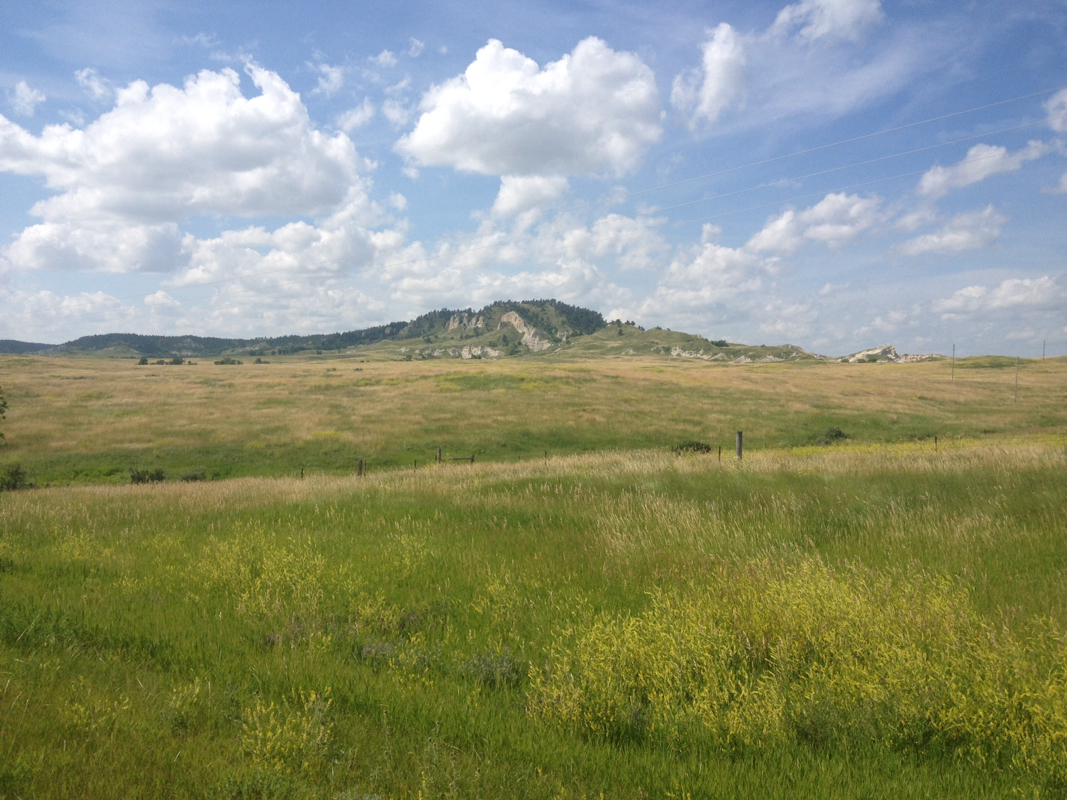
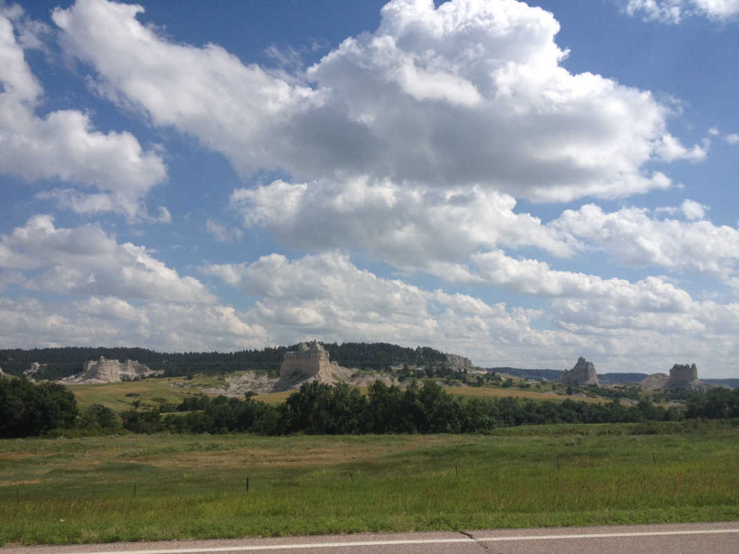
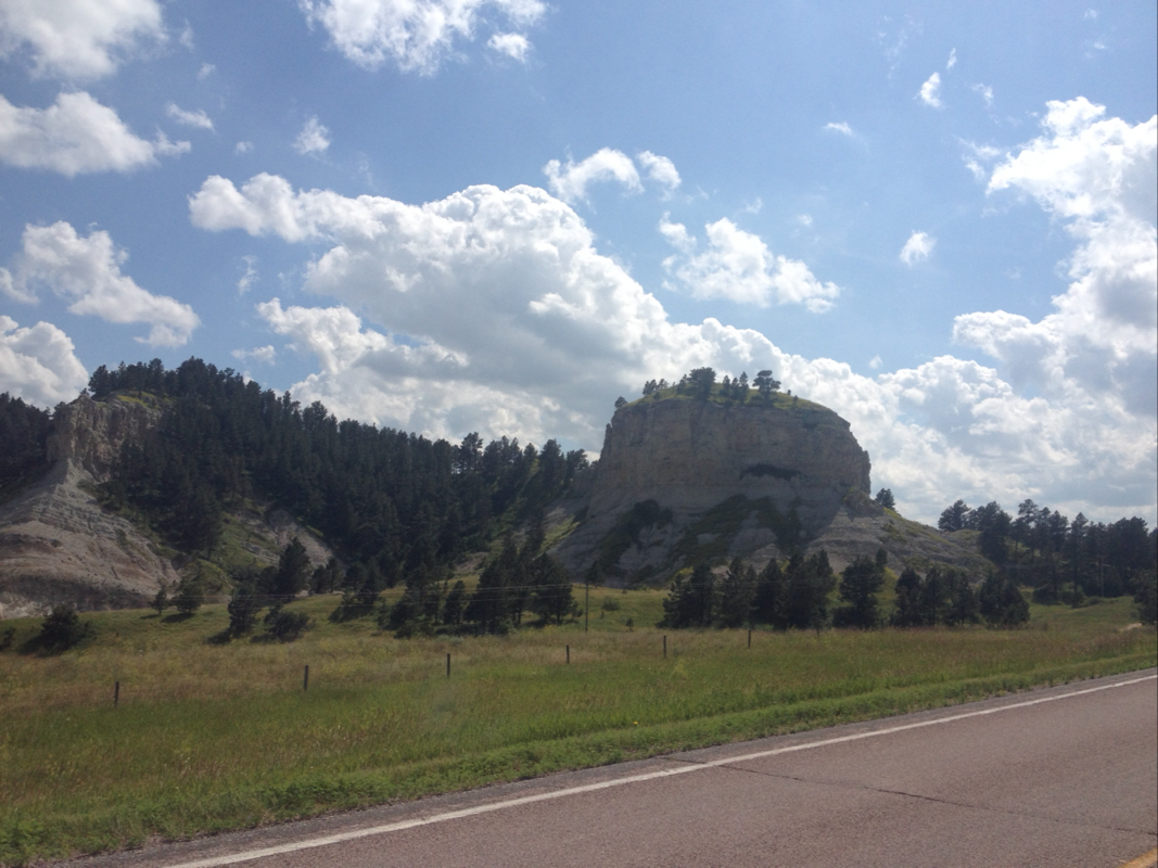
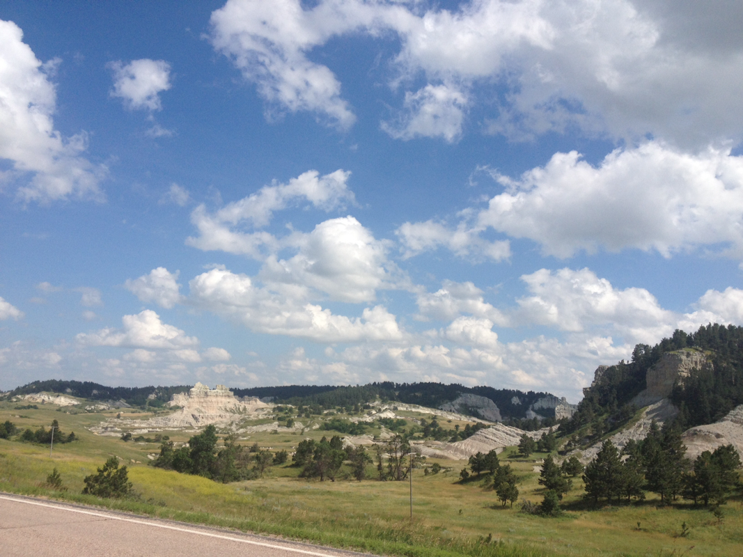
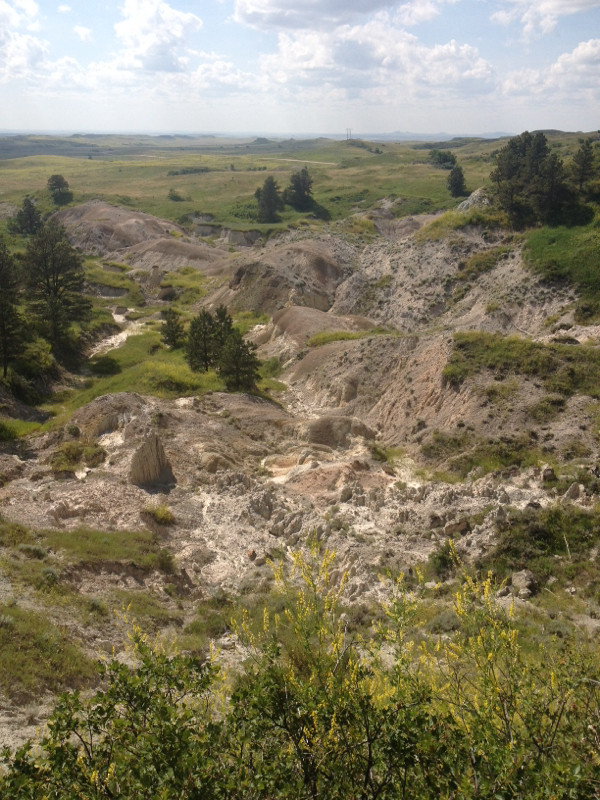
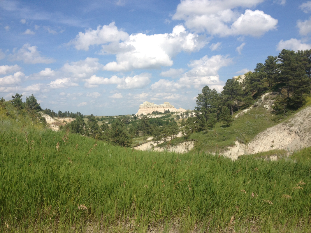
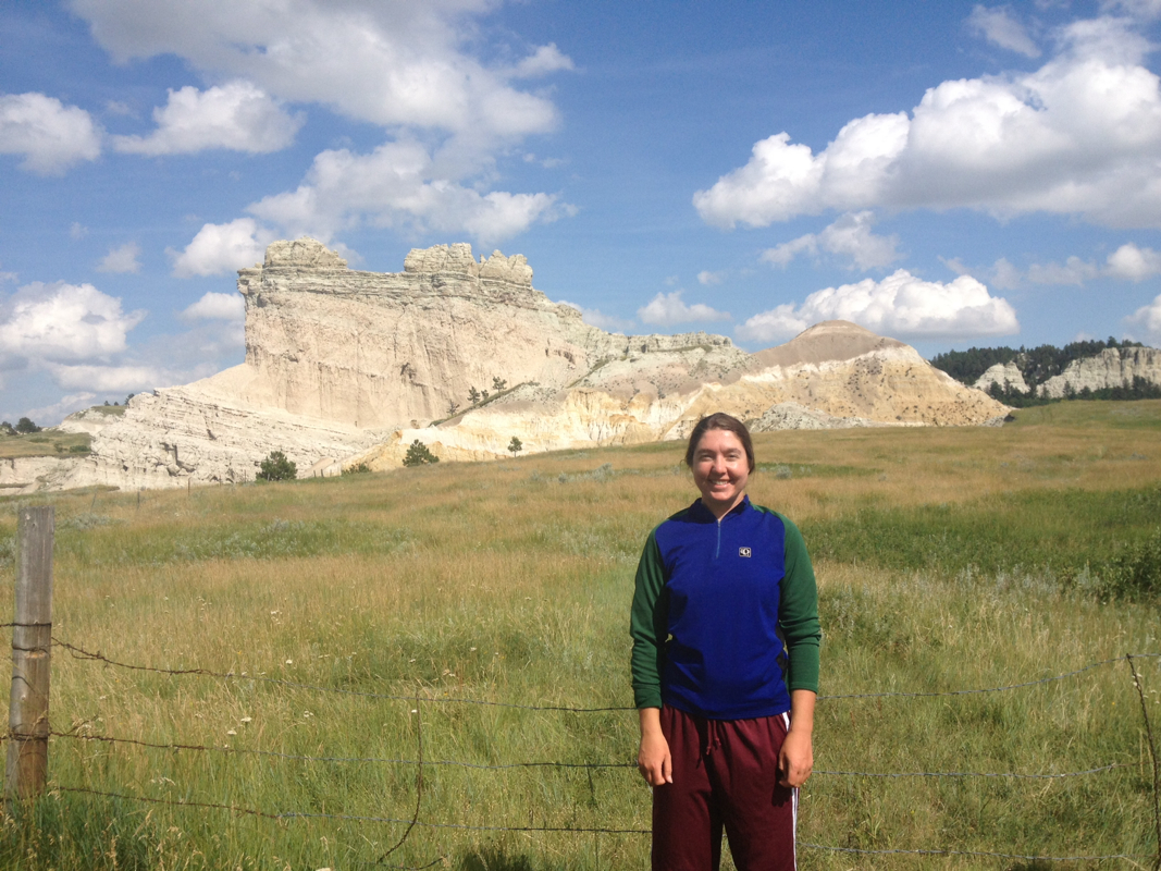
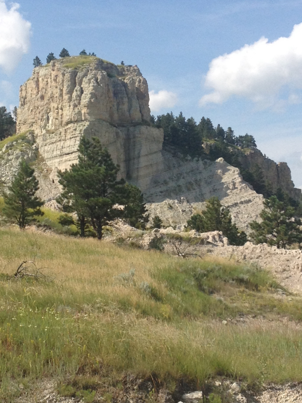
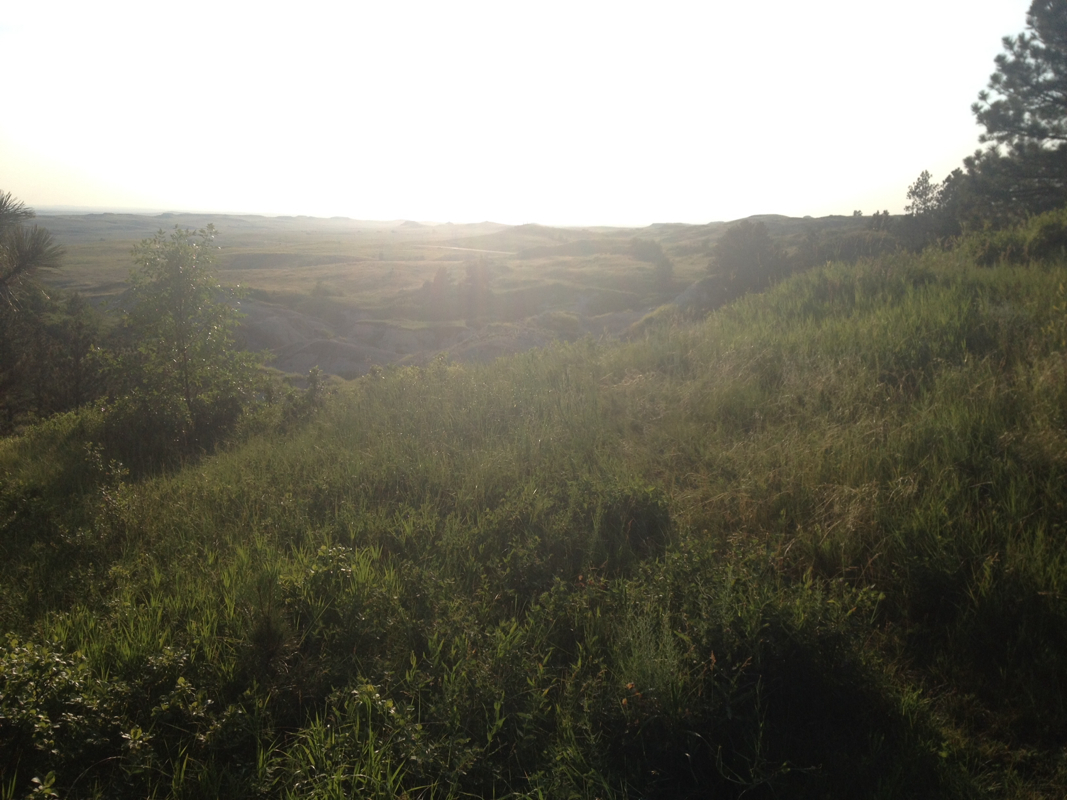
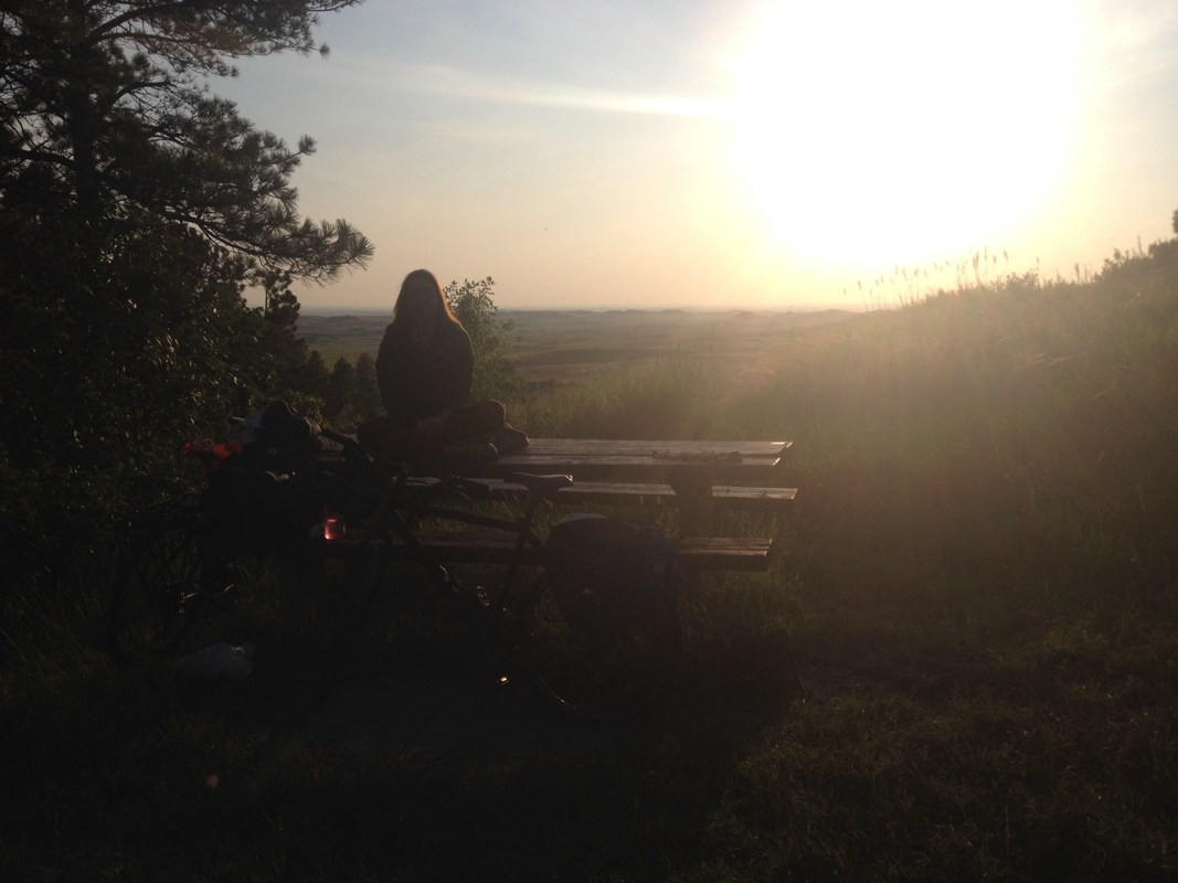
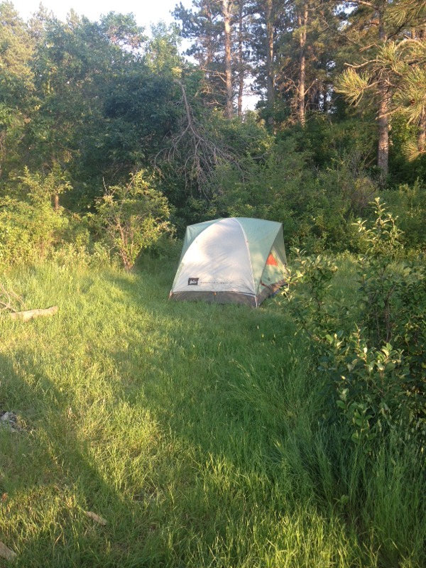

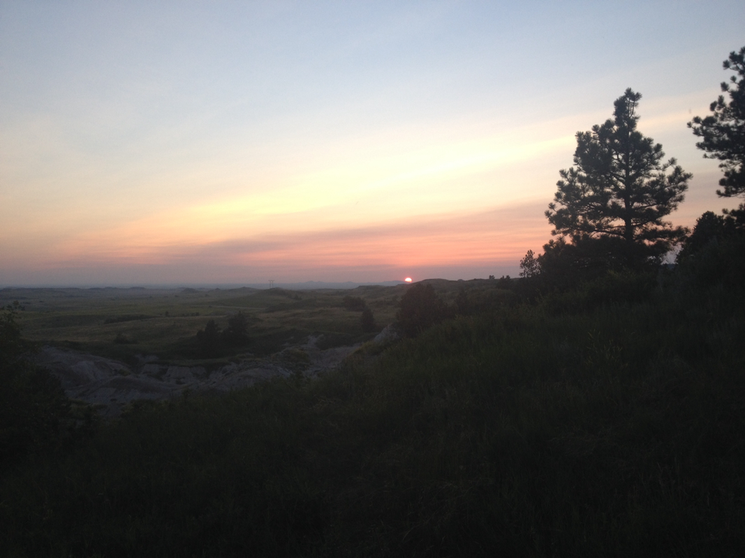
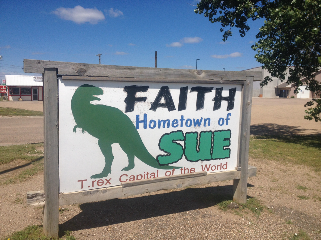
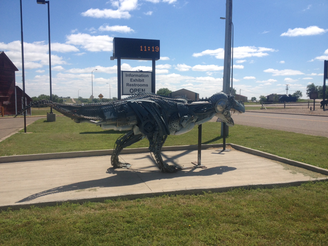
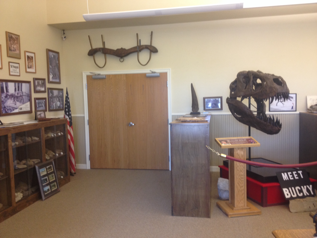
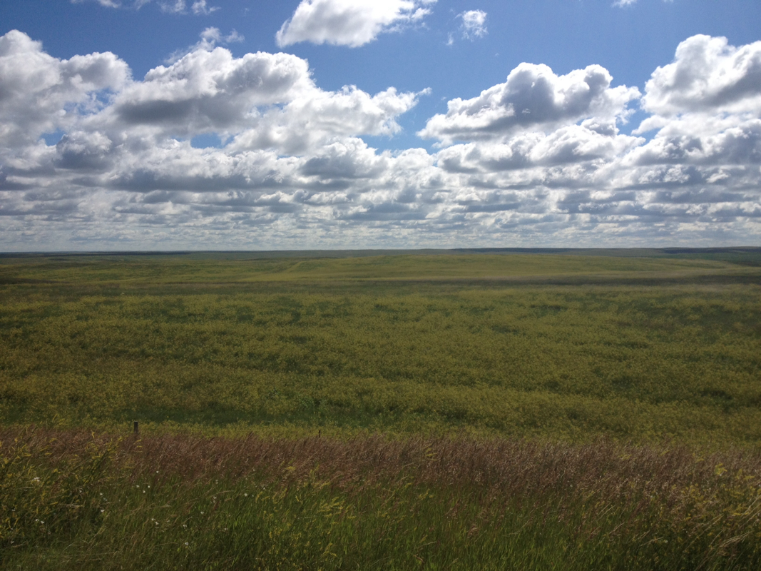
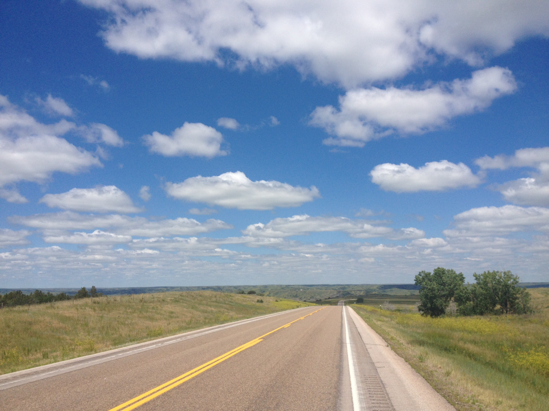
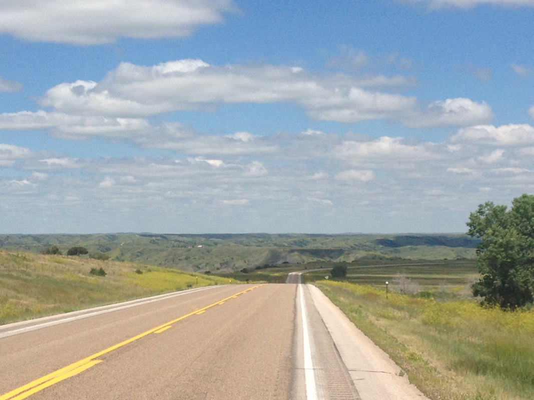
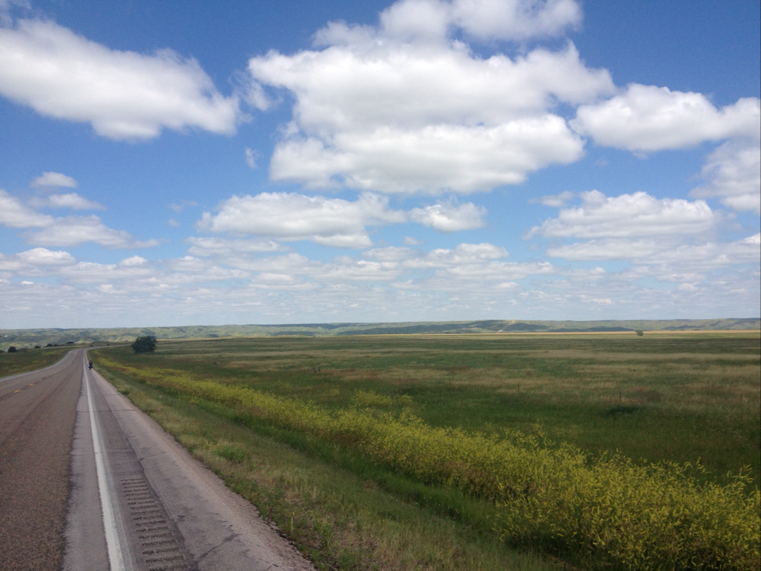
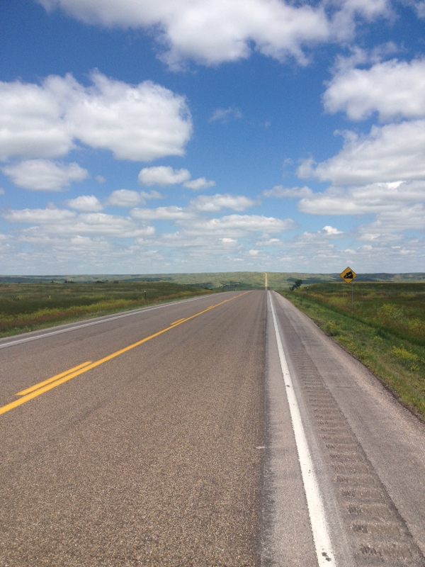
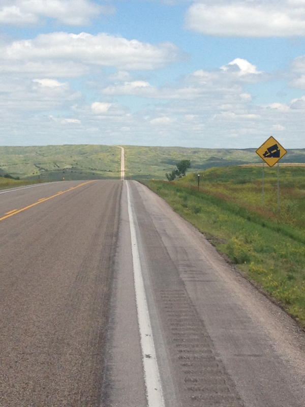
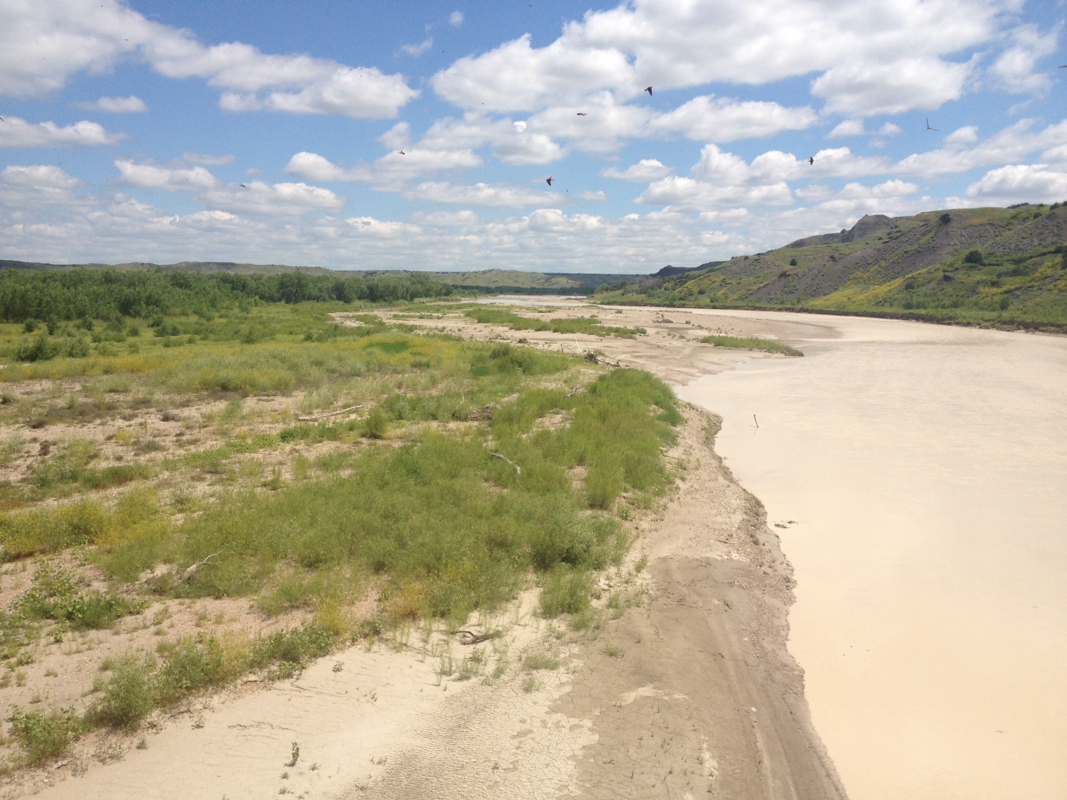
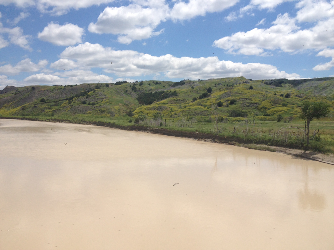

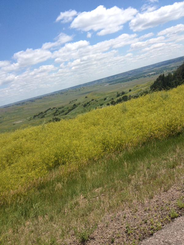

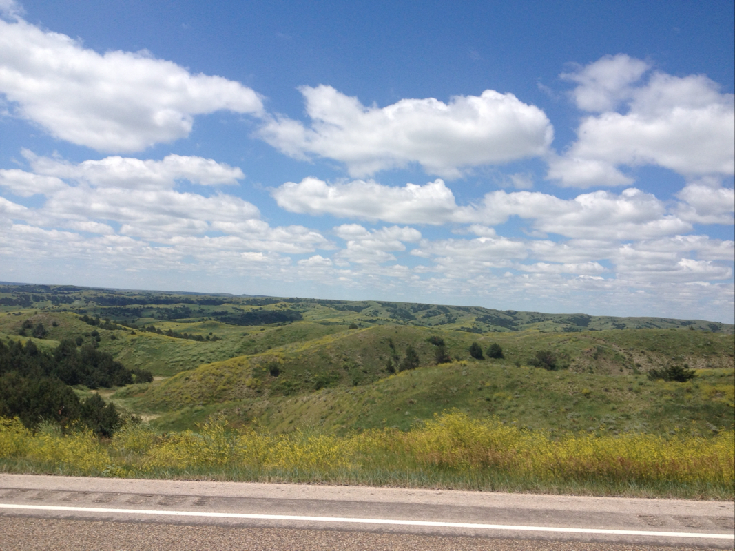
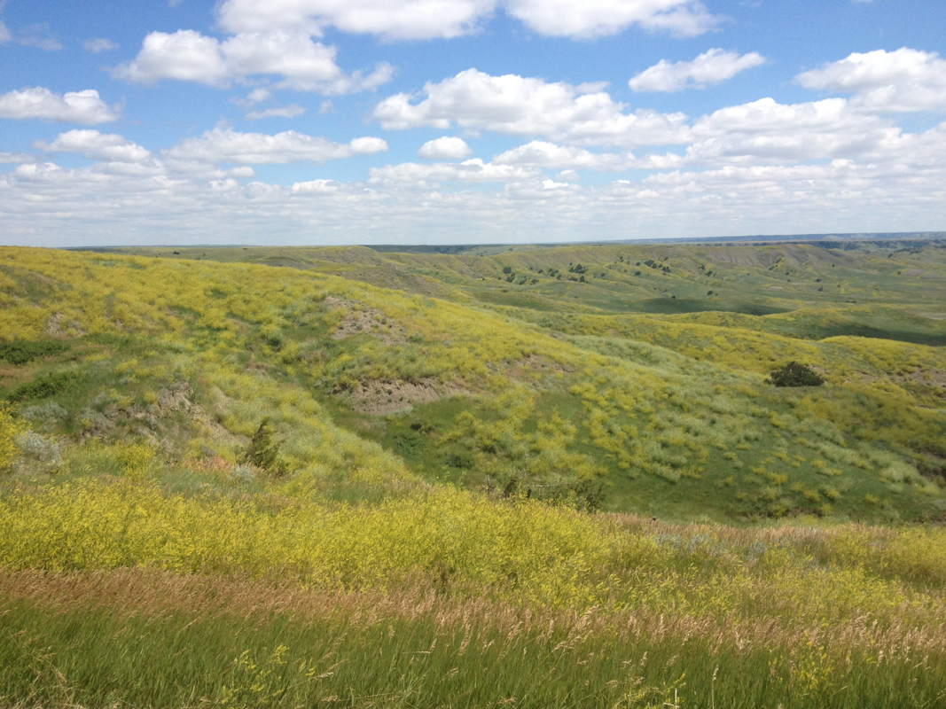
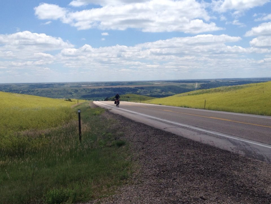
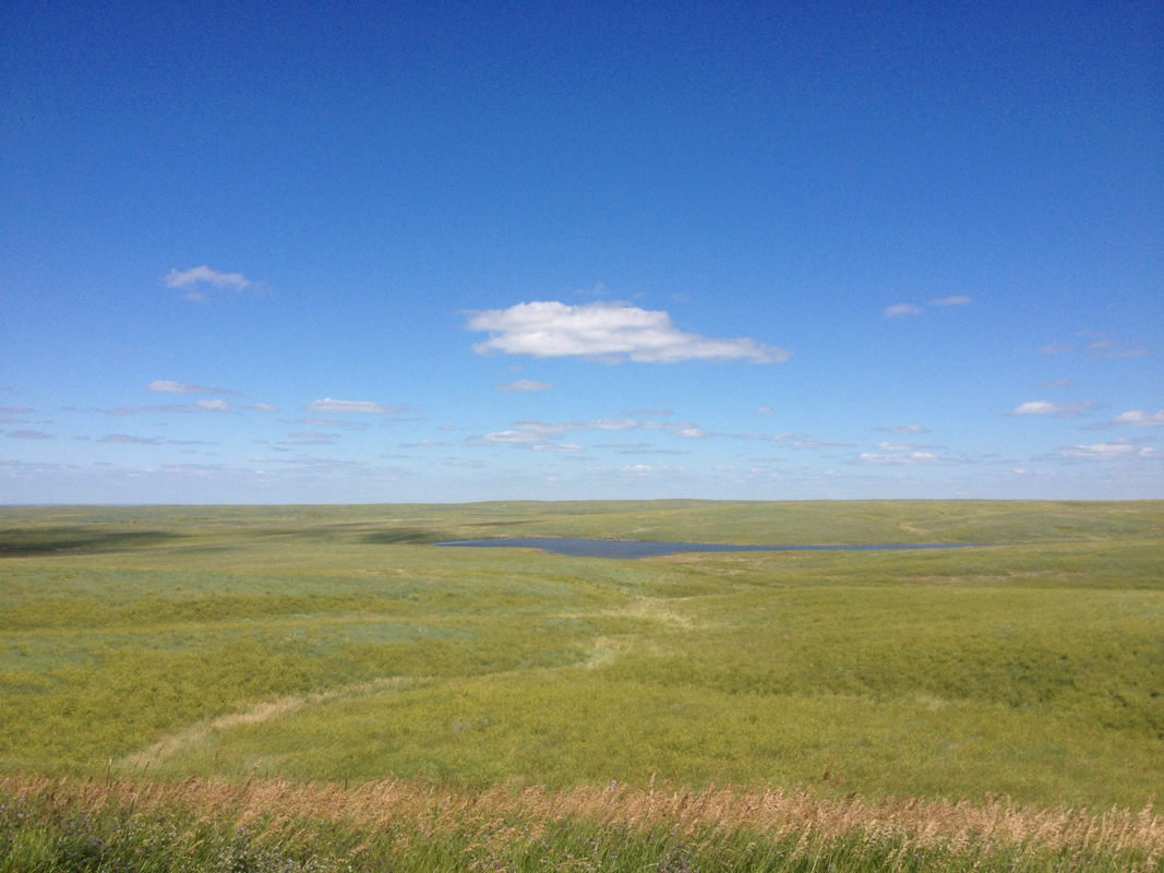
 RSS Feed