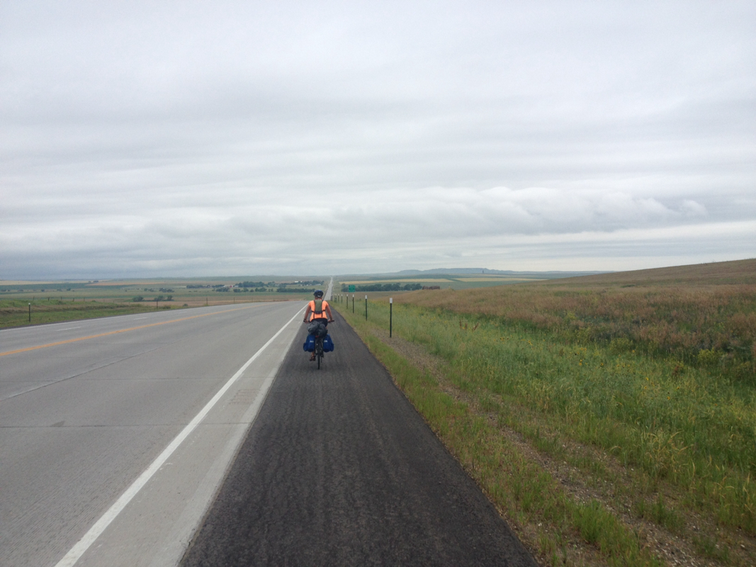
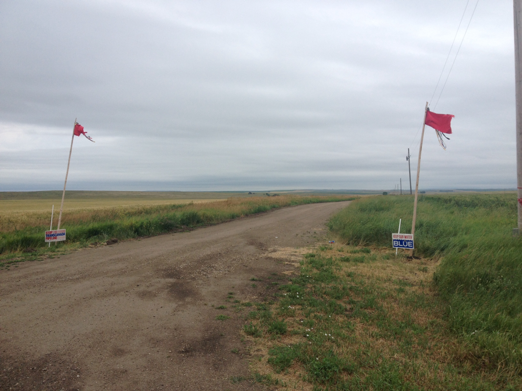
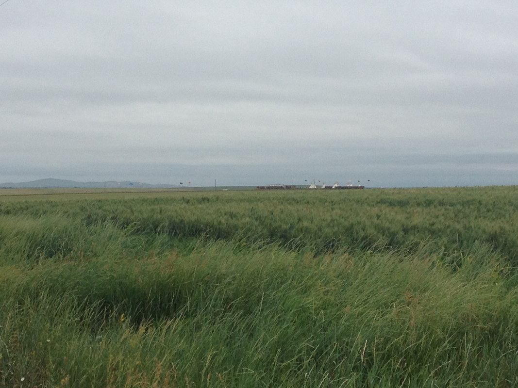
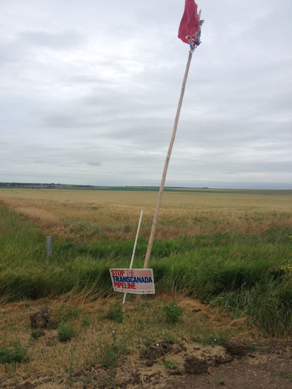
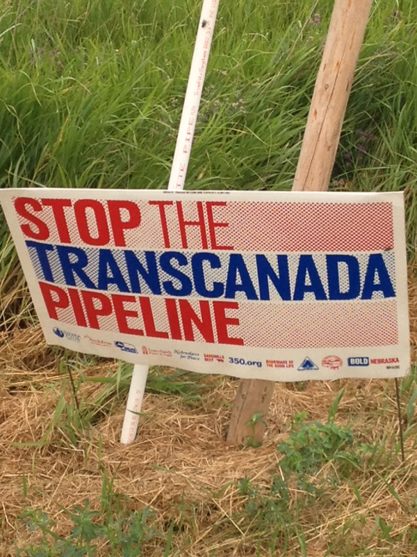
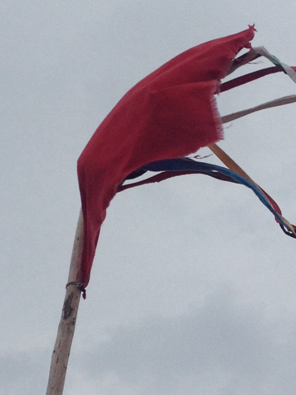
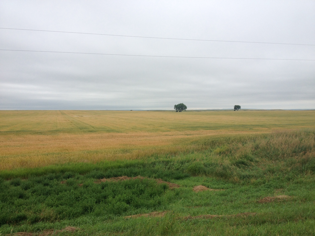
The forecast for this morning and yesterday evening in Winner was rain and thunderstorms. The rain last nigh never seemed to appear, though the air felt strongly of it. When we started riding, there was again a blanket of gray clouds, and we were nervous for when a storm might begin. I was on the watch for droplets, and as I learned later, Laurel was on the lookout for lightning. We started of going west on 18 out of town and for a short ways before we would turn north onto 183. The skies were dreary still, and hung close overhead like a low ceiling. There was one bulge of cloud that swelled towards the ground, and this made me nervous. Perhaps sensing my glances towards this patch of cloud, Laurel aptly predicted these clouds were "angry eyebrows on a happy face." For they never rained on us, or stormed. As one expansive grey sheet, they moved slowly southwards as we moved north. However, this was because the wind was out of the north, and thus against us. Quite strongly against us at times, a bracing wind that we had to pedal firmly against. The air was almost unpleasantly cool with our sweat, at least for me. Far, far north I could see a faint blue line. This was the edge of the murky ceiling of clouds above us. The atmosphere for me was depressive. I felt frustrated and slow and tired and thought continuously of giving up. This was until, far out in the fields, we noticed the white shapes of a circle of tipis and many different colored flags. I wondered what this might mean. We rode onwards, and came to a gravel road on our side. Laurel noticed the signs first: a stop the TransCanada pipeline sign on one side, and a keep our water blue on the other. There were two flag poles besides these as well. On the signs, there were many Nebraska environmental and rancher related organizations, such as Bold Nebraska, 350.org, Sierra club, Audubon society, Nebraska beef, etc. At the time, we did not know much more about this camp than that it was in resistance to the pipeline. The cloth flags, sewn with ribbons of many colors, flapped loudly in the wind. We continued on into that headwind, and I thought on what we had seen -- I had wanted to go up and see who might be around, and if we could learn from them about their resistance. But the gravel road was long, and so was our road, and I did not know if it would be okay for us to intrude without contacting beforehand. Likely, it would have been a good opportunity, of which I have regrettably missed many on this trip thus far.
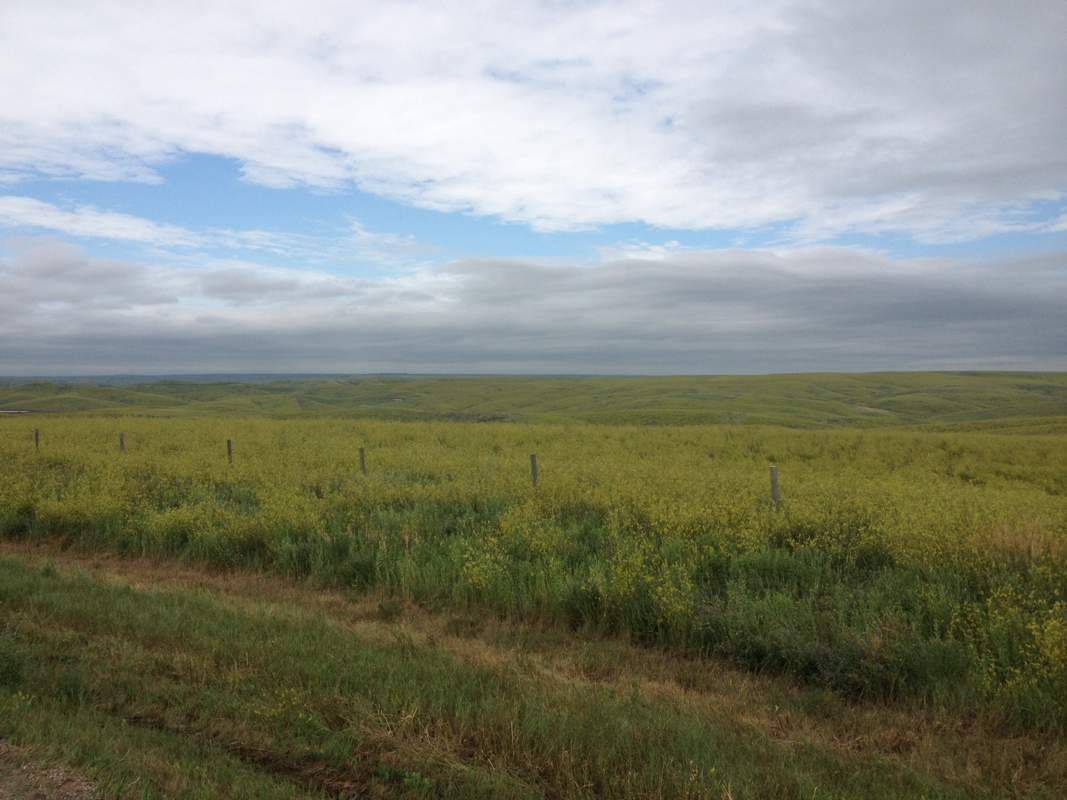
We were making for the town of Presho, which was some 40+ miles into the wind. This seemed to take forever. However, after awhile we came to the very line of the grey clouds, which had come to meet us as we rode towards it throughout the morning. Once we had crossed it, the skies were lighter and bluer, and the sun brighter. It was as if we had stepped outside, out from under our low ceiling and into the open. The land was wide in all directions. Wide and open, and far-reaching. This encouraged me some. Hills rolled on, as an ocean. But an ocean more immense than we had seen so far, and we were very small.
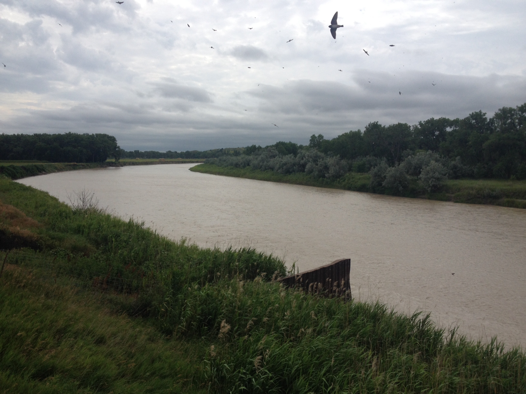
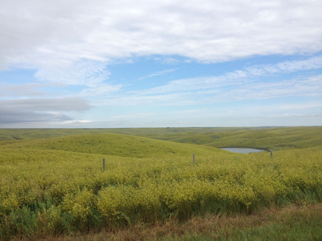
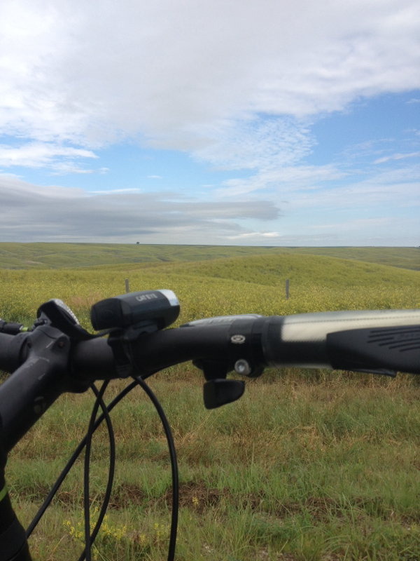
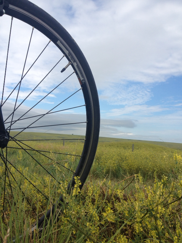
Eventually, we came down a long flying hill into what I guessed would a river valley. So it was. Zooming down the hill, we descended into trees and at the bottom met the White River and a bridge. The water, as Laurel remarked, was indeed a whitish tint. Swallows swooped in huge numbers about the bridge -- a habit we have observed at rivers and bridges in all the states so far. But flying downhills, as I know too well, mean arduous climbs back up. Except this time, the long curving and rather steep uphill climb was...not so hard! My legs felt strong pushing me up the hill, and the valley protected us somewhat from the wind as we climbed. At the start of our trip, such a hill would have been agony. Now, for whatever reason--I suppose a combination of hard won strength and the striking scenery -- I slowly but very surely made my ways up. And felt good doing it. That was perhaps one of the more rewarding moments I have had. The hillsides around us were coated in yellow flowered plants, and when we reached the top, the view was astonishing. It was so beautiful. The hills of the river valley spread out before us, yellow and bright and the skies blue against them. Far away were the tiny dark forms of what we first assumed to be cattle, but which I soon discerned to be buffalo. Their fields were wide and seemingly boundless indeed! Both Laurel and I paused here for some time in admiration. There have been so many extremely challenging moments on this trip -- actually, almost all moments it sometimes feels -- but this was a moment that is crystalline and wondrous.
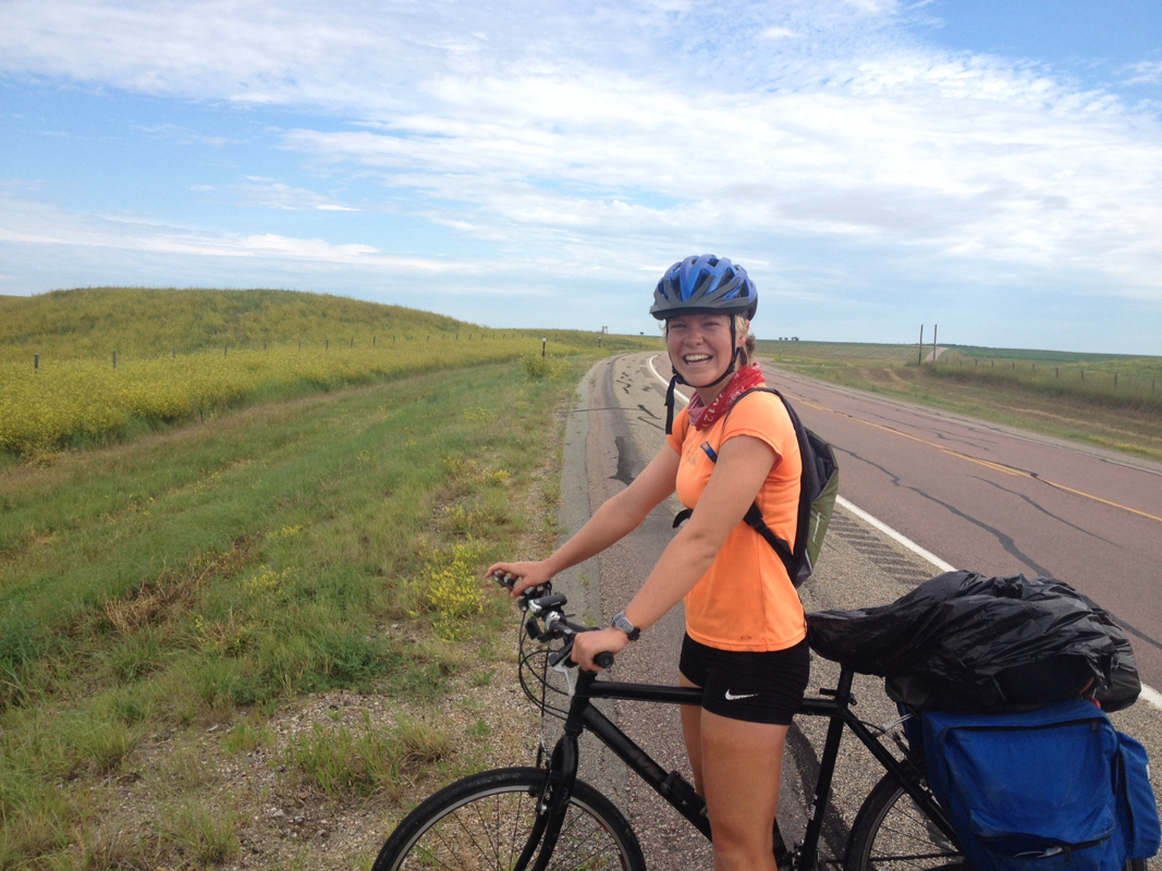
The rest of the 14 or so miles to Presho did seem to take a long time, but the landscape was more cheerful now and my attitude improved. My legs seemed to run out of fuel up a long upwards grade just about 4 miles from Presho, but from the top of that hill into town it was down hill and this helped to push me along. We could see, as we approached from above, the town beneath us and to the west. Here we got lunch at the Hutch cafe. Things are becoming increasingly "western" themed now, presumably as are quite close to the badlands. As we entered, an older gentleman asked us how far we had ridden that morning and when we told him about 45, he nodded sagaciously and said he had guessed we were serious bikers. Perhaps, but I think I am more a leaf in the wind most times. We had grilled cheeses. The cafe was quite lively, with older folks and customers, and increasingly so as we were there. Must be a good place for lunch! A band of 8 older and older middle aged folks was at the table near us, and talked animatedly-- with one woman in particular enjoying the spotlight and telling a story of her lost and found wallet. Towards the end of our meal, one gentleman came over to our table and asked us where we had started riding. I answered with Winner, and he said that then we must have been riding for perhaps a couple days only. Laurel and I shared a look, and we smiled and I clarified that our first start point was Houston and today was day 19. He was happy about this, and told us he and his wife did a lot of bike touring in the past -- and from all the places he said he biked, his total trips far outdo our distance! I told him bout our route and that we are following the pipeline. After he returned to his table, I could overhear him explaining to the others.
After going outside to get back on our bikes, an older man came out the door as we were putting on our helmets. He had come out after us, hearing that we are biking the pipeline, to ask if we had seen the Indian tipis along 183 near Ideal and explained that it was a resistance to the pipeline. We told him we had indeed seen it! I at first was very happy that he had come outside just to let us know. And he was certainly a nice enough man and very kind. However, his comments as he explained the camp were insensitive and in fact insulted me, though I did not want to stir bitterness from him. He made some comments about the "indians" resisting the pipeline to protect nature, and to prevent loosing profits from the pipeline, profits which he implied "we" give them. I was dumbfounded. I asked him what his thoughts were on the pipeline and what he thought the attitude of Presho was. He said he isn't from Presho but from nearby. In general he wasn't too involved with it, but said that to him it seemed like a good thing. Jobs and all. (An answer that I grow very tired of, and nervous that it is the justification for so many). This simply isn't true. He acquisesed, as I have also heard from others, that most of it would be exported to China anyways. I think that there is so much disarray surrounding knowledge of the pipeline. Many are ambivalent, and misinformed. But there is a lot of misinformation out there, that the issue for many becomes unclear unless they take the time to investigate. As we continued on, I stewed about his comments. I was increasingly angry about his comments, offhand though they might have been, towards the native resistance. Does he realize that the dedication of many native nations throughout the U.S and Canada is for his own good as well, as it is in defense of our earth, which we all live upon? And not only the earth in general, but the pipeline also concerns their sovereign lands, past, present, and future. The pipeline crosses over the homelands of many, and in some cases extremely close to reservation lands as well. Those from these reservations have dealt with so many big companies polluting their lands, it is entirely justified that they protest the keystone pipeline putting their water and lands in jeopardy. This man, I felt, instead of belittling their cause should be grateful. And as for implying that "we" as a country "give" native nations profits or anything else, that is just idiocy. The U.S. has taken and continues to steal more from native peoples than it could ever hope to repay -- and whatever it does repay are pitiful masquerades of justice. Justice would be the return of lands -- or at the very least fair treatment, reparations, true respect towards sovereignty and culture, and an admission of the long and continuing persecution and genocide. I pedaled hard in my frustration.
The camp, from what I can tell from this article (http://m.rapidcityjournal.com/news/local/rosebud-sets-up-camp-to-protest-keystone-pipeline/article_26af7076-bbc2-5aa3-bfbe-d00b766936b6.html?mobile_touch=true) was started by the Rosebud reservation, as a prayer camp and peaceful protest, to keep up pressure against the pipeline. There is another good article here: https://sicangulakota.net/tag/keystone-xl-pipeline/ The more I read, the more I wish I had gone down the road. It seems to be a very peaceful and strong resistance and I would have been grateful to meet those dedicated to it. I am not sure if there are still people camped there, but I am guessing so and I would have undoubtedly learned a great deal from their resistance. I send my solidarity, and hope that our paths will cross. I hope that, as I passed, my own dedication was felt and that I left behind some measure of my own strength, whatever I might have, to protect the medicine that was placed in that land.
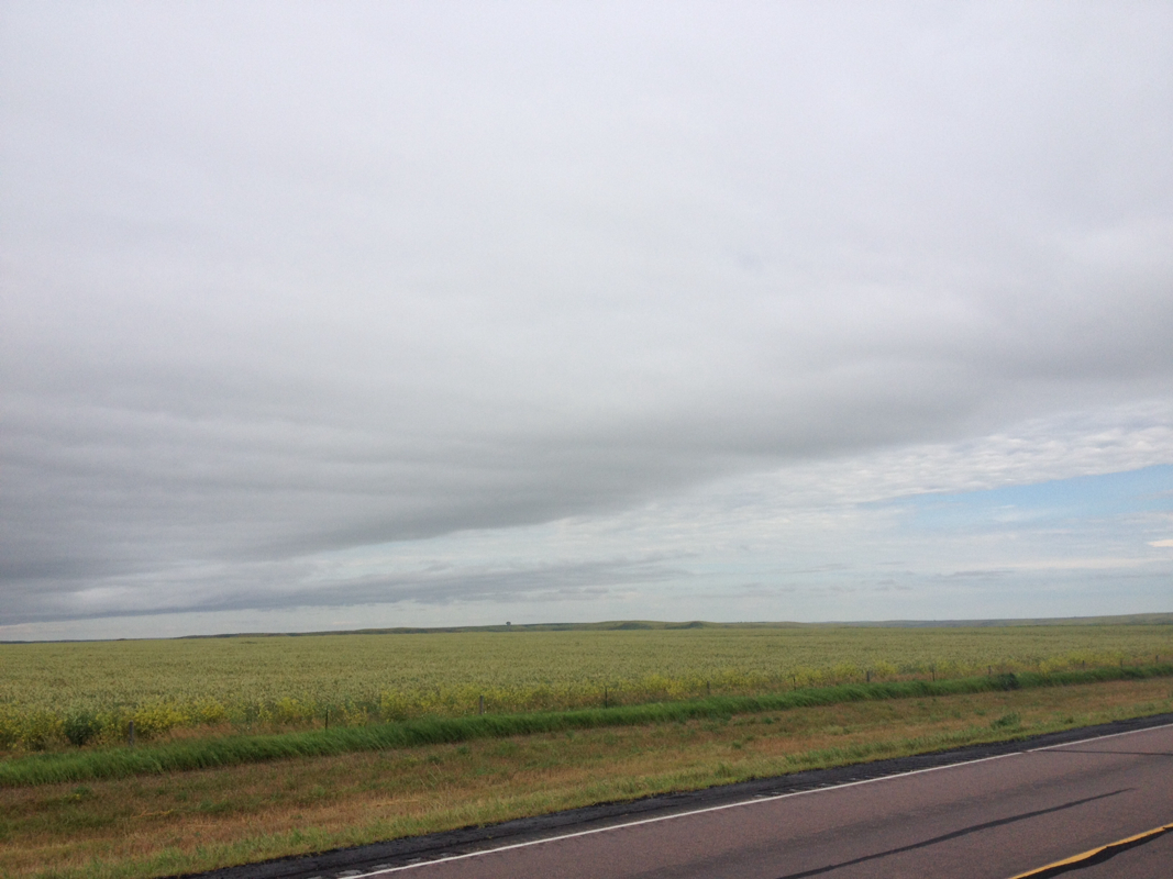
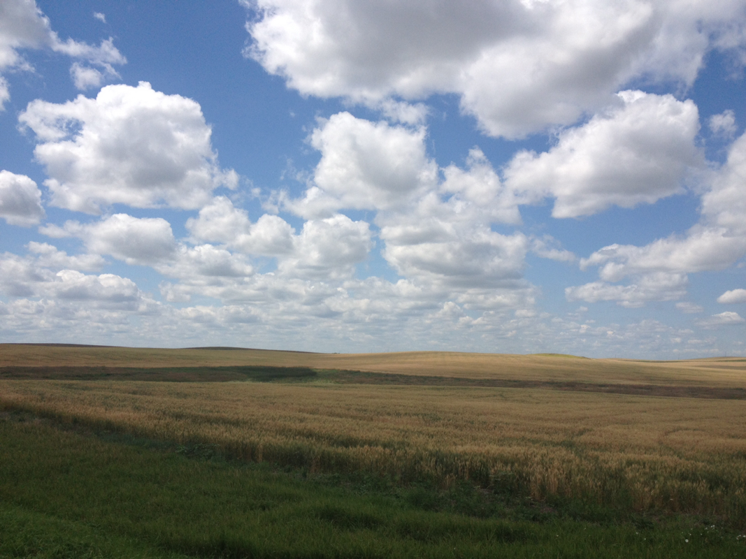
The last 35 miles of our ride were along the frontage road of I-90. This was an extremely calm road, almost empty, that stretched on forever. There were rolling hills. And the blue sky, which had been only lightly feathered with clouds, slowly accumulated a flock of white, puffing shapes. A herd in a blue pasture, growing as the miles passed until it was filled with their forms. The sky here is truly an amphitheater, boundless and wide, though curiously close.
The last 10 miles were very hard for me, as the sun heated up and I wore down. I was ready to be there, and my backside (I will be frank) is so sore. I am so very sick of biking. Any other form of moment I would take, gladly! But no more on a bike. All I could think of is how badly I wish for just one day off the bike. Ah, it was almost unbearable of desperately I thought of this. It is hard to continue, knowing that we will eat, sleep and then so soon be back on bikes again repeating the long process, without a rest day to look forward to. Don't get me wrong, I am grateful for the opportunity of taking on the pipeline. But I think that rest days are extremely important, and I had planned one at the halfway point originally. Laurel wants to continue onwards, as she is on somewhat of a time limit. But I don't know if I can continue much more, and know it is not wise to continue without reprieve when my body (and mind) needs it so very much. It would reinvigorate me for the last third of our route, and take away the absolutely unnecessary weariness I have felt, only briefly punctuated by some of the positivity and excitement I feel reaching moving places such as the White River valley or the resistance camp. It would also give me time to think more and research more, as we continue through South Dakota. I will do my best to stay strong.
Today we covered about 80 miles and reached the town of Murdo. As we near the badlands, tourism is clearly taking hold. Much of the tourism in the badlands (and particularly Mt. Rushmore) I am no fan of. The badlands themselves are a marvel, but the tourism business and the desecration that is Mt. Rushmore I could do without.
From Murdo, we had a couple options (limited by roads) for our route. We could continue along 90 towards Buffalo Gap and the badlands themselves, which would no doubt be beautiful, or we could take one of the only roads north to Philip. It seems that we are veering towards Philip, as to continue towards the badlands makes it difficult to go northwards. Between Philip and Faith, up more in the north west, there seem to be few roads and almost no towns on maps. We will see.


 RSS Feed